Near Pioneer in West Carroll Parish, Louisiana — The American South (West South Central)
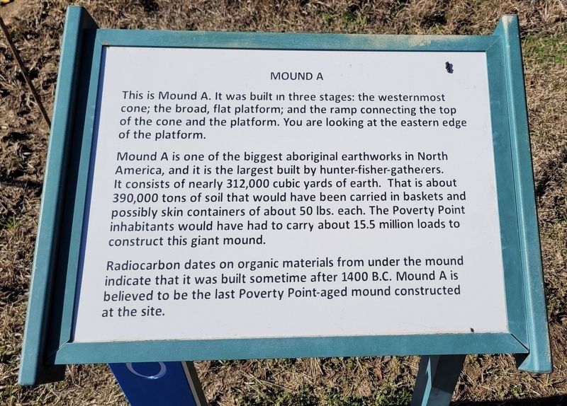
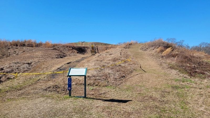
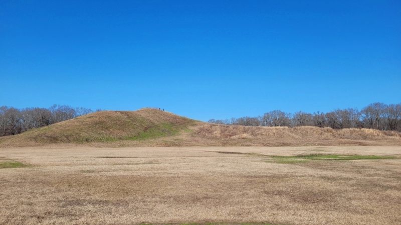
Mound A
Mound A is one of the biggest aboriginal earthworks in North America, and it is the largest built by hunter-fisher-gatherers. It consists of nearly 312,000 cubic yards of earth. That is about 390,000 tons of soil that would have been carried in baskets and possibly skin containers of about 50 lbs. each. The Poverty Point inhabitants would have had to carry about 15.5 million loads to construct this giant mound.
Radiocarbon dates on organic materials from under the mound indicate that it was built sometime after 1400 B.C. Mound A is believed to be the last Poverty Point-aged mound constructed at the site.
Topics. This historical marker is listed in these topic lists: Anthropology & Archaeology • Native Americans • Parks & Recreational Areas. A significant historical year for this entry is 1400 BCE.
Location. 32° 38.13′ N, 91° 24.576′ W. Marker is near Pioneer, Louisiana, in West Carroll Parish. Marker can be reached from State Highway 577 north of State Highway 134. The marker is located in the western section at the Poverty Point World Heritage Site along the hiking trail. Touch for map. Marker is at or near this postal address: 6859 LA-577, Pioneer LA 71266, United States of America. Touch for directions.
Other nearby markers. At least 8 other markers are within walking distance of this marker. Mound A Apex (about 500 feet away, measured in a direct line); Mound E (approx. 0.2 miles away); Southwest Ridges (approx. 0.2 miles away); Poverty Point Earthworks (approx. ¼ mile away); Mound C (approx. 0.3 miles away); a different marker also named Poverty Point Earthworks (approx. 0.3 miles away); After Poverty Point (approx. 0.3 miles away); Poverty Point World Heritage Site (approx. 0.3 miles away). Touch for a list and map of all markers in Pioneer.
Also see . . . History & Artifacts of Poverty Point. Poverty Point World Heritage Site
Those who lived at Poverty Point more than 3,000 years ago left no written records of their day-to-day lives. We know that the site was a ceremonial center that was once home to hundreds or perhaps thousands of people, as well as a trading hub unmatched by any in North America at that time.(Submitted on January 20, 2024, by James Hulse of Medina, Texas.)
Credits. This page was last revised on January 20, 2024. It was originally submitted on January 19, 2024, by James Hulse of Medina, Texas. This page has been viewed 47 times since then. Photos: 1, 2, 3, 4. submitted on January 19, 2024, by James Hulse of Medina, Texas.


