Near Pioneer in West Carroll Parish, Louisiana — The American South (West South Central)
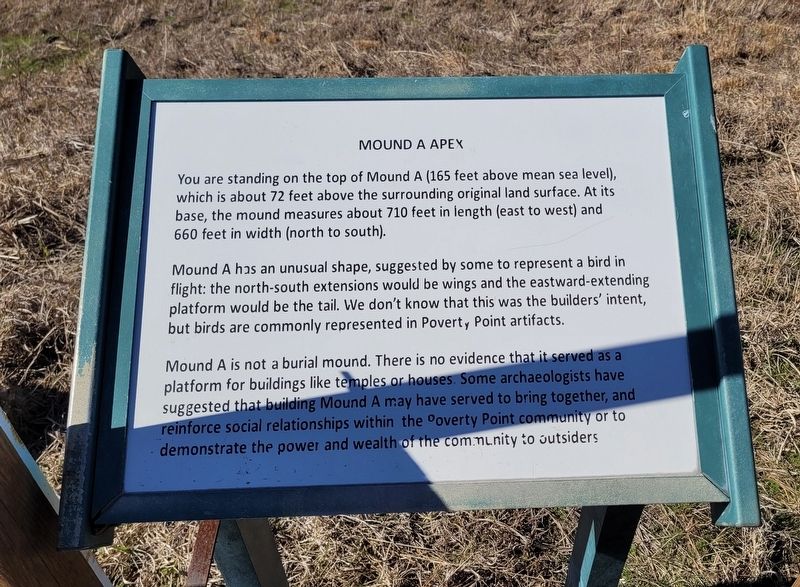
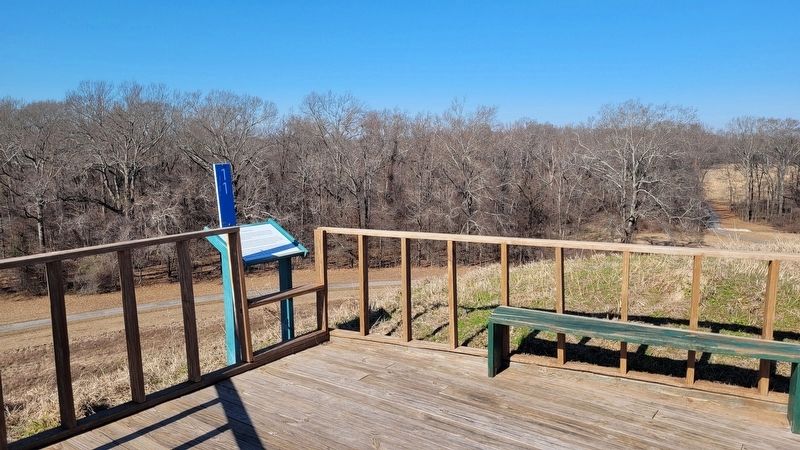
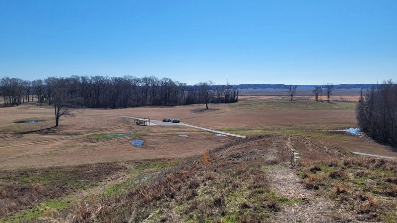
Mound A Apex
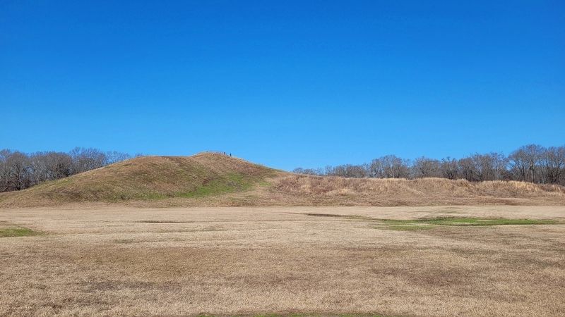
Mound A has an unusual shape, suggested by some to represent a bird in flight: the north-south extensions would be wings and the eastward-extending platform would be the tail. We don't know that this was the builders' intent, but birds are commonly represented in Poverty Point artifacts.
Mound A is not a burial mound. There is no evidence that it served as a platform for buildings like temples or houses. Some archaeologists have suggested that building Mound A may have served to bring together, and reinforce social relationships within the Poverty Point community or to demonstrate the power and wealth of the community to outsiders.
Topics. This historical marker is listed in these topic lists: Anthropology & Archaeology • Native Americans • Parks & Recreational Areas.
Location. 32° 38.114′ N, 91° 24.676′ W. Marker is near Pioneer, Louisiana, in West Carroll Parish. Marker can be reached from State Highway 577 north of Highway 134. The marker is located in the western section in the Poverty Point World Heritage Site along the hiking trail. Touch for map. Marker is at or near this postal address: 6859 LA-577, Pioneer LA 71266, United States of America. Touch for directions.
Other nearby markers. At least 8 other markers are within walking distance of this marker. Mound A (about 500 feet away, measured in a direct line); Mound E (approx. 0.2 miles away); Southwest Ridges (approx. 0.3 miles away); Poverty Point Earthworks (approx. 0.4 miles away); Mound B (approx. 0.4 miles away); Mound C (approx. 0.4 miles away); a different marker also named Poverty Point Earthworks (approx. 0.4 miles away); After Poverty Point (approx. 0.4 miles away). Touch for a list and map of all markers in Pioneer.
Also see . . . History & Artifacts of Poverty Point. Poverty Point World Heritage Site
Those who lived at Poverty Point more than 3,000 years ago left no written records of their day-to-day lives. We know that the site was a ceremonial center that was once home to hundreds or perhaps thousands of people, as well as a trading hub unmatched by any in North America at that time.(Submitted on January 20, 2024, by James Hulse of Medina, Texas.)
Credits. This page was last revised on January 20, 2024. It was originally submitted on January 19, 2024, by James Hulse of Medina, Texas. This page has been viewed 49 times since then. Photos: 1, 2, 3, 4. submitted on January 19, 2024, by James Hulse of Medina, Texas.


