Central Point Township near Enemy Swim in Day County, South Dakota — The American Midwest (Upper Plains)
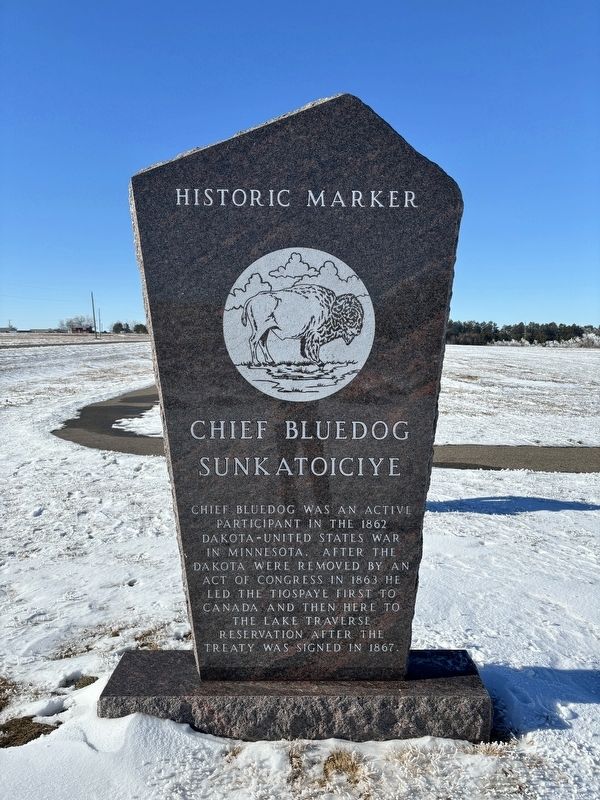
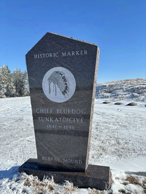
Chief Bluedog
Sunkatoiciye
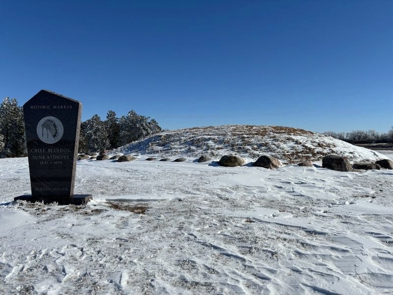
— 1841-1898 —
Chief Bluedog was an active participant in the 1862 Dakota-United States War in Minnesota. After the Dakota were removed by an act of Congress in 1863 he led the Tiospaye first to Canada and then here to the Lake Traverse Reservation after the treaty was signed in 1867.
Topics. This historical marker is listed in these topic lists: Cemeteries & Burial Sites • Native Americans • Wars, US Indian. A significant historical year for this entry is 1862.
Location. 45° 25.688′ N, 97° 17.038′ W. Marker is near Enemy Swim, South Dakota, in Day County. It is in Central Point Township. Marker is on County Highway T500 east of 446th Avenue, on the left when traveling east. Touch for map. Marker is in this post office area: Waubay SD 57273, United States of America. Touch for directions.
Other nearby markers. At least 8 other markers are within 7 miles of this marker, measured as the crow flies. Waubay National Wildlife Refuge (approx. 1.2 miles away); Waubay Wetland Management District (approx. 1.2 miles away); Changes on the Land (approx. 1˝ miles away); a different marker also named Waubay National Wildlife Refuge (approx. 2.1 miles away); Potholes and Prairie (approx. 2.2 miles away); Saving Men and Beasts (approx. 2.2 miles away); A Room with a View (approx. 2.2 miles away); Roberts County / Day County South Dakota (approx. 7.1 miles away).
Credits. This page was last revised on January 28, 2024. It was originally submitted on January 27, 2024, by Connor Olson of Kewaskum, Wisconsin. This page has been viewed 71 times since then. Photos: 1, 2, 3. submitted on January 27, 2024, by Connor Olson of Kewaskum, Wisconsin. • J. Makali Bruton was the editor who published this page.


