Williamsburg in James City County, Virginia — The American South (Mid-Atlantic)
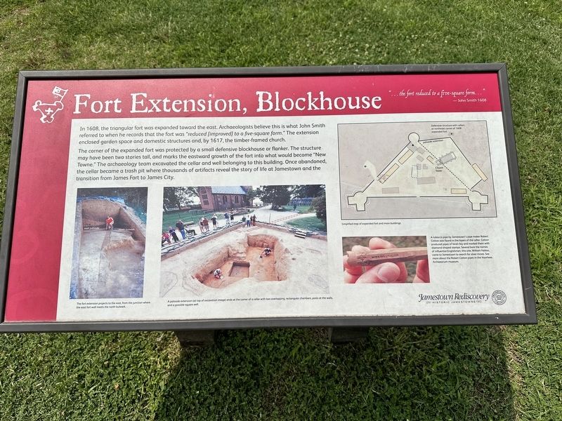
Fort Extension, Blockhouse
—John Smith 1608
In 1608, the triangular fort was expanded toward the east. Archaeologists believe this is what John Smith referred to when he records that the fort was "reduced [improved] to a five-square form." The extension enclosed garden space and domestic structures and, by 1617, the timber-framed church.
The corner of the expanded fort was protected by a small defensive blockhouse or flanker. The structure may have been two stories tall, and marks the eastward growth of the fort into what would become "New Towne." The archaeology team excavated the cellar and well belonging to this building. Once abandoned, the cellar became a trash pit where thousands of artifacts reveal the story of life at Jamestown and the transition from James Fort to James City.
(captions)
The fort extention projects to the east, from the junction where the east fort wall meets the north bulwark.
A palisade extension (at top of excavation image) ends at the corner of a cellar with two overlapping, rectangular chambers, posts at the walls, and a possible square well.
Simplified map of expanded fort and main buildings
A tobacco pipe by Jamestown's pipe maker Robert Cotton was found in the layers of the cellar. Cotton produced pipes of local clay and marked them with diamond-shaped stamps. Several bore the names of influential Englishmen; this one William Faldoo, came to Jamestown to search for silver mines. See more about Robert Cotton pipes in the Voorhees Archaearium museum.
Erected by Jamestown Rediscovery Foundation.
Topics. This historical marker is listed in these topic lists: Anthropology & Archaeology • Colonial Era • Forts and Castles • Settlements & Settlers. A significant historical year for this entry is 1608.
Location. 37° 12.522′ N, 76° 46.69′ W. Marker is in Williamsburg, Virginia, in James City County. Marker can be reached from Colonial National Historical Parkway, 1˝ miles south of Jamestown Road (Virginia Route 31). Touch for map. Marker is at or near this postal address: 1371 Colonial Nat'l Historical Pkwy, Williamsburg VA 23185, United States of America. Touch for directions.
Other nearby markers. At least 8 other markers are within walking distance of this marker. Jamestown (here, next to this marker); Pocahontas (a few steps from this marker); The Tombstones (within shouting distance of this marker); The Tombs of James and Sarah Blair (within shouting distance of this marker); Jamestown’s Churches (within shouting distance of this marker); The Greate Road – An Early Highway pre-1607-1700s (within shouting distance of this marker); Church Tower (within shouting distance of this marker); 1608 Church (within shouting distance of this marker). Touch for a list and map of all markers in Williamsburg.
Also see . . . Jamestown Rediscovery - Historic Jamestowne. Jamestown Rediscovery Foundation (Submitted on January 31, 2024.)
Credits. This page was last revised on February 1, 2024. It was originally submitted on January 30, 2024, by Pete Skillman of Townsend, Delaware. This page has been viewed 46 times since then. Photo 1. submitted on January 30, 2024, by Pete Skillman of Townsend, Delaware. • Bernard Fisher was the editor who published this page.
Editor’s want-list for this marker. Wide shot of marker and its surroundings. • Can you help?
