Tacony in Philadelphia in Philadelphia County, Pennsylvania — The American Northeast (Mid-Atlantic)
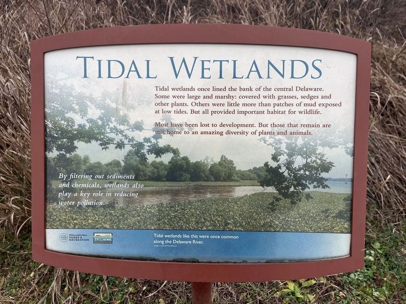
Tidal Wetlands
Tidal wetlands once lined the bank of the central Delaware. Some were large and marshy: covered with grasses, sedges and other plants. Others were little more than patches of mud exposed at low tides. But all provided important habitat for wildlife.
Most have been lost to development. But those that remain are still home to an amazing diversity of plants and animals.
By filtering out sediments and chemicals, wetlands also play a key role in reducing water pollution.
[Caption:]
Tidal wetlands like this were once common along the Delaware River.
Erected by Philadelphia Parks & Recreation; Delaware River City Corp.
Topics. This historical marker is listed in these topic lists: Environment • Industry & Commerce • Natural Features • Waterways & Vessels.
Location. 40° 0.877′ N, 75° 2.762′ W. Marker is in Philadelphia, Pennsylvania, in Philadelphia County. It is in Tacony. Marker can be reached from K&T Trail west of Levick Street, on the right when traveling east. Touch for map. Marker is at or near this postal address: 5202 Levick Street, Philadelphia PA 19135, United States of America. Touch for directions.
Other nearby markers. At least 8 other markers are within walking distance of this marker. Tacony-Palmyra Ferry Company (here, next to this marker); Kensington and Tacony Railroad (a few steps from this marker); Tacony / Wissinoming (within shouting distance of this marker); Tacony-Palmyra Bridge (within shouting distance of this marker); Industry Along the River (within shouting distance of this marker); Lardner's Point (within shouting distance of this marker); Lardner's Point Pumping Station (about 300 feet away, measured in a direct line); Bringing Back the River / One Site, Many Ecosystems (about 500 feet away). Touch for a list and map of all markers in Philadelphia.

Photographed By Devry Becker Jones (CC0), January 26, 2024
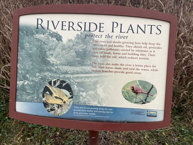
3. Riverside Plants protect the river sign (nearby)
The trees and shrubs growing here help keep the river clean and healthy. They absorb oil, pesticides and other pollutants carried by rainwater as it runs off roads, lawns and building sites. Their roots hold the soil, which reduces erosion.
The trees also make the river a better place for fish; their leaves shade and cool the water, while sunken branches provide good cover.
[Caption:]
Trees and shrubs growing along the river provide food, shelter and nesting sites for birds and other wildlife.
Credits. This page was last revised on January 30, 2024. It was originally submitted on January 30, 2024, by Devry Becker Jones of Washington, District of Columbia. This page has been viewed 40 times since then. Photos: 1, 2, 3. submitted on January 30, 2024, by Devry Becker Jones of Washington, District of Columbia.

