Allegheny West in Philadelphia in Philadelphia County, Pennsylvania — The American Northeast (Mid-Atlantic)
A Retreat for the Living
Laurel Hill Cemetery
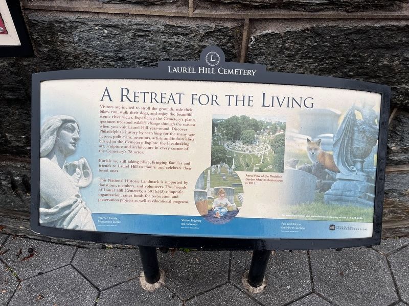
Visitors are invited to stroll the grounds, ride their bikes, run, walk their dogs, and enjoy the beautiful scenic river views. Experience the Cemetery's plants, specimen trees and wildlife change through the seasons when you visit Laurel Hill year-round. Discover Philadelphia's history by searching for the many war heroes, politicians, inventors, artists and industrialists buried in the Cemetery. Explore the breathtaking art, sculpture and architecture in every corner of the Cemetery's 78 acres.
Burials are still taking place; bringing families and friends to Laurel Hill to mourn and celebrate their loved ones.
This National Historic Landmark is supported by donations, members, and volunteers. The Friends of Laurel Hill Cemetery, a 501 (c)(3) nonprofit organization, raises funds for restoration and preservation projects as well as educational programs.
[Caption:]
Aerial view of the Medallion Garden after its restoration in 2011
Erected by Philadelphia Parks & Recreation.
Topics and series. This historical marker is listed in these topic lists: Architecture • Cemeteries & Burial Sites •
this page online
Location. 39° 59.991′ N, 75° 11.422′ W. Marker is in Philadelphia, Pennsylvania, in Philadelphia County. It is in Allegheny West. It is at the intersection of Kelly Drive and West Hunting Park Avenue (County Road 3033), on the right when traveling north on Kelly Drive. Touch for map. Marker is at or near this postal address: 3822 Kelly Dr, Philadelphia PA 19132, United States of America. Touch for directions.

Regionally, this marker is in Southeast Pennsylvania. It is also in the American Northeast and in the Mid-Atlantic. Globally, it is in North America, the Western Hemisphere, the Western World, and the Anglosphere. Historically, it finds itself in what was once the Haudenosaunee (Iroquois) Confederacy, New Netherland, and one of the original Thirteen Colonies.
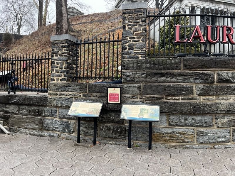
Other nearby markers. At least 8 other markers are within walking distance of this marker: A Garden For The Dead (here, next to this marker); Laurel Hill Cemetery (a few steps from this marker); a different marker
Additional keywords. landscape architecture
Credits. This page was last revised on January 31, 2024. It was originally submitted on January 31, 2024, by Devry Becker Jones of Washington, District of Columbia. This page has been viewed 202 times since then and 14 times this year. Photos: 1, 2. submitted on January 31, 2024, by Devry Becker Jones of Washington, District of Columbia.
