Indian Creek, Toledo, Belize — Central America
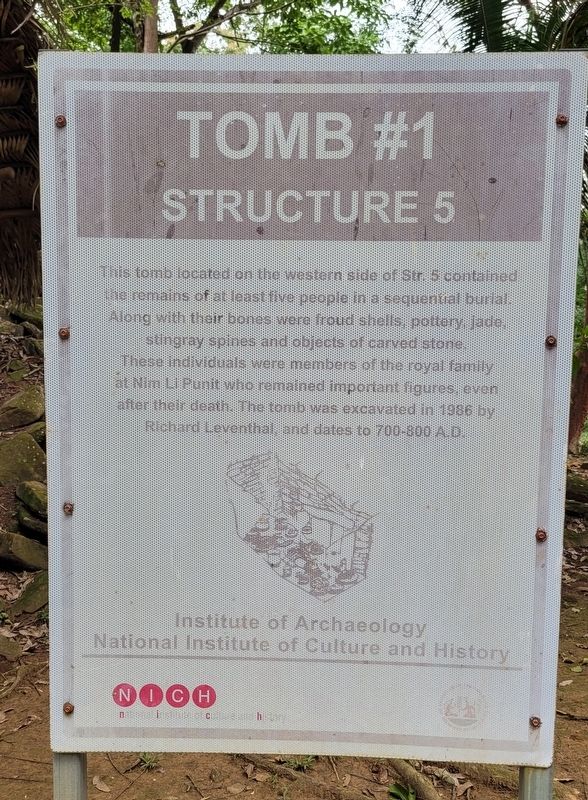
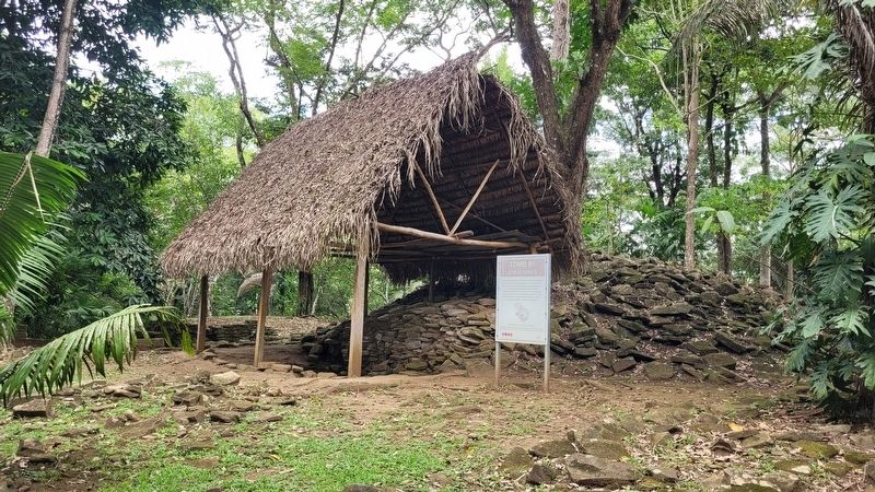
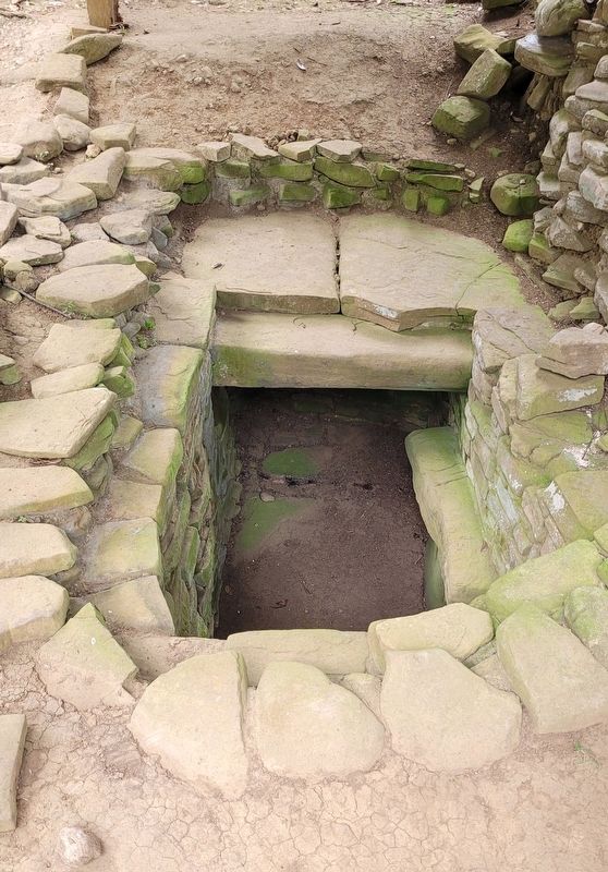
Tomb #1
Structure 5
Erected by Institute of Archaeology National Institute of Culture and History.
Topics. This historical marker is listed in these topic lists: Anthropology & Archaeology • Cemeteries & Burial Sites • Native Americans. A significant historical year for this entry is 700 CE.
Location. 16° 19.217′ N, 88° 49.5′ W. Marker is in Indian Creek, Toledo. Marker is on Nim Li Punit Mayan Ruins Road, 0.4 kilometers north of Southern Highway. The marker is located in the Nim Li Punit Mayan Ruins and there is a small fee to visit. Touch for map. Touch for directions.
Other nearby markers. At least 4 other markers are within 16 kilometers of this marker, measured as the crow flies. The Royal Residence (within shouting distance of this marker); E-Group (within shouting distance of this marker); Ball Court (about 150 meters away, measured in a direct line); a different marker also named Ball Court (approx. 14.9 kilometers away).
Also see . . . Nim Li Punit. The Mayan Ruins Website
Nim Li Punit is a small, yet important archaeological zone located in the south of Belize. It is a modern name meaning “Big Hat” in Kekchi Maya after an image of a ruler depicted on a stela recovered from the site. Its original name has yet to be deciphered.(Submitted on February 3, 2024, by James Hulse of Medina, Texas.)
The site is centered upon the leveled summits of small hills within a richly diverse tropical forest situated in the foothills of the Maya Mountains. It was established to exploit the areas natural resources and to take advantage of the extensive trade network that existed in the region. It is situated 9 miles/15 kms northeast of, and was contemporaneous with, the Maya site of Lubaantun which was the main political/economic center in the region. The population has been estimated between 5,000 to 7,000 individuals.
Credits. This page was last revised on February 5, 2024. It was originally submitted on February 2, 2024, by James Hulse of Medina, Texas. This page has been viewed 44 times since then. Photos: 1, 2, 3. submitted on February 3, 2024, by James Hulse of Medina, Texas.


