Hammond's Ferry in North Augusta in Aiken County, South Carolina — The American South (South Atlantic)
Crossroads of the Southeast
The Savannah River at the Fall Line
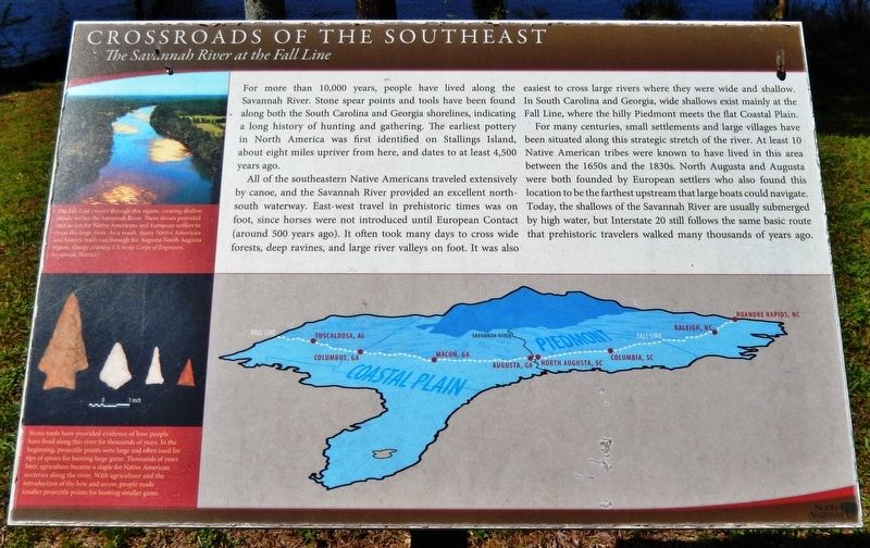
For more than 10,000 years, people have lived along the Savannah River. Stone spear points and tools have been found along both the South Carolina and Georgia shorelines, indicating a long history of hunting and gathering. The earliest pottery in North America was first identified on Stallings Island, about eight miles upriver from here, and dates to at least 4,500 years ago.
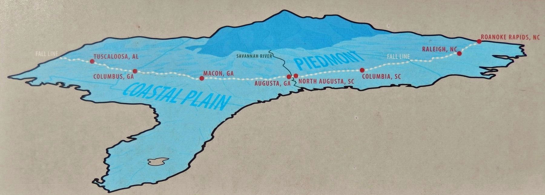
All of the southeastern Native Americans traveled extensively by canoe, and the Savannah River provided an excellent north-south waterway. East-west travel in prehistoric times was on foot, since horses were not introduced until European Contact (around 500 years ago). It often took many days to cross wide forests, deep ravines, and large river valleys on foot. It was also easiest to cross large rivers where they were wide and shallow. In South Carolina and Georgia, wide shallows exist mainly at the Fall Line, where the hilly Piedmont meets the flat Coastal Plain.
For many centuries, small settlements and large villages have been situated along this strategic stretch of the river. At least 10 Native American tribes were known to have lived in this area between the 1650s and the 1830s. North Augusta and Augusta were both founded by European settlers who also found this location to be the farthest upstream that large boats could navigate. Today, the shallows of the Savannah River are usually submerged by high water, but Interstate 20 still follows the same basic route that prehistoric travelers walked many thousands of years ago.
Topics. This historical marker is listed in these topic lists: Anthropology & Archaeology • Native Americans • Settlements & Settlers • Waterways & Vessels.
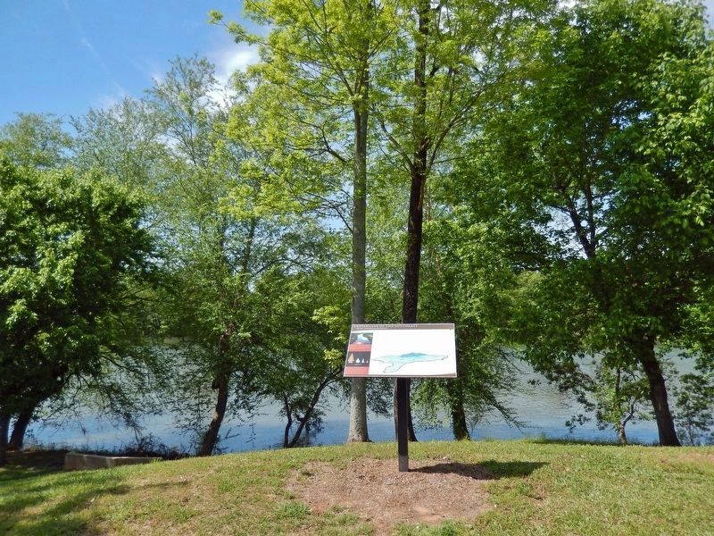
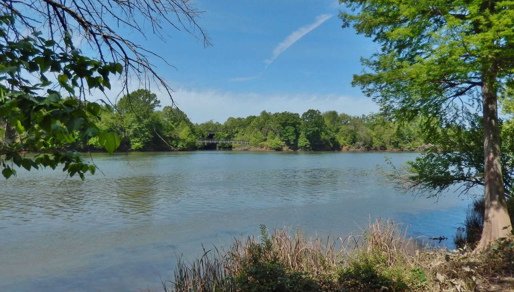
Location. 33° 29.307′ N, 81° 59.203′ W. Marker is in North Augusta, South Carolina, in Aiken County. It is in Hammond's Ferry. Marker can be reached from Front Street just west of Westo Street, on the left when traveling west. The marker is located along the North Augusta Greeneway, overlooking the Savannah River to the south. Touch for map. Marker is at or near this postal address: 656 Front Street, North Augusta SC 29841, United States of America. Touch for directions.
Other nearby markers. At least 8 other markers are within walking distance of this marker. The Power of the Savannah River (approx. 0.2 miles away); Boeckh Park (approx. ¼ mile away); The Confederate States Powder Works (approx. 0.3 miles away in Georgia); Confederate Obelisk-Chimney (approx. 0.3 miles away in Georgia); Confederate Powder Works (approx. 0.4 miles away in Georgia); Riverfront Village (approx. 0.4 miles away); Explosion At The Confederate Powder Works
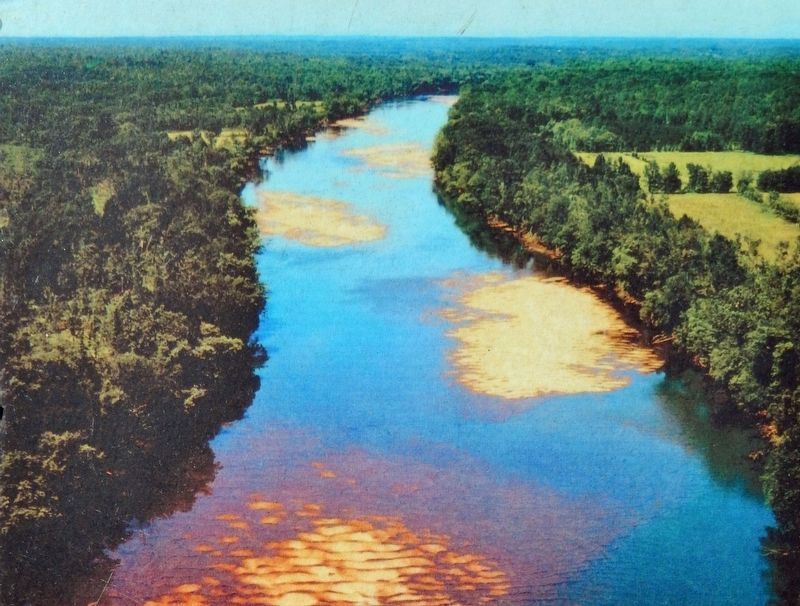
Courtesy US Army Corps of Engineers, Savannah District
2. Marker detail: Savannah River
The Fall Line crosses through this region, creating shallow shoals within the Savannah River. These shoals provided easy access for Native Americans and European settlers to cross the large river. As a result, many Native American and historic trails ran through the Augusta-North Augusta region.
Also see . . . Atlantic Seaboard Fall Line (Wikipedia). Excerpt:
The fall line marks the geologic boundary of hard metamorphosed terrain and the sandy, relatively flat alluvial plain of the upper continental shelf. Before navigation improvements such as locks, the fall line was generally the head of navigation on rivers due to their rapids or waterfalls, and the necessary portage around them. Numerous cities initially formed along the fall line because of the easy river transportation to seaports, as well the availability of waterpower to operate mills and factories, thus bringing together river traffic and industrial labor.(Submitted on February 2, 2024, by Cosmos Mariner of Cape Canaveral, Florida.)
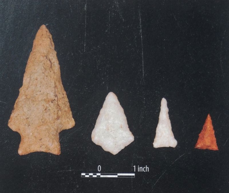
3. Marker detail: Projectile Points
Stone tools have provided evidence of how people have lived along this river for thousands of years. In the beginning, projectile points were large and often used for tips of spears for hunting large game. Thousands of years later, agriculture became a staple for Native American societies along the river. With agriculture and the introduction of the bow and arrow, people made smaller projectile points for hunting smaller game.
Credits. This page was last revised on February 2, 2024. It was originally submitted on February 2, 2024, by Cosmos Mariner of Cape Canaveral, Florida. This page has been viewed 55 times since then. Photos: 1, 2, 3, 4, 5, 6. submitted on February 2, 2024, by Cosmos Mariner of Cape Canaveral, Florida.
