Near Manassas in Prince William County, Virginia — The American South (Mid-Atlantic)
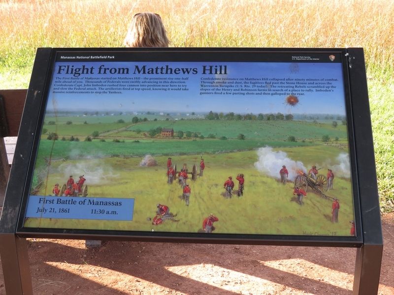
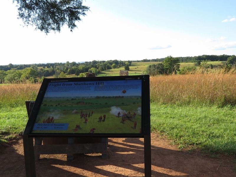
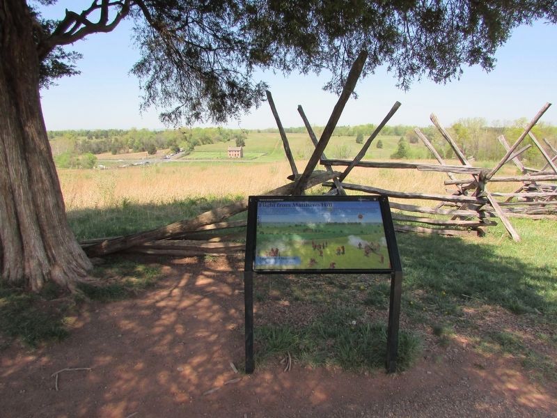
Flight from Matthews Hill
First Battle of Manassas, July 21, 1861, 11:30 a.m.
Photographed by Samuel Paik, September 9, 2017
1. Flight from Matthews Hill Marker
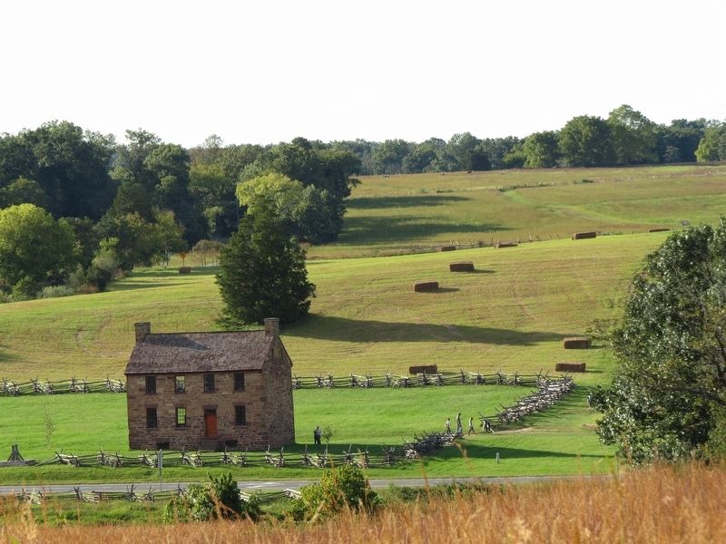
Confederate resistance on Matthews Hill collapsed after ninety minutes of combat. Through smoke and dust, the fugitives fled past the Stone House and across the Warrenton Turnpike (U.S. Rte. 29 today). The retreating Rebels scrambled up the slopes of the Henry and Robinson farms in search of a place to rally. Imboden's gunners fired a few parting shots and then galloped to the rear.
Erected by Manassas National Battlefield Park, National Park Service, U.S. Department of the Interior.
Topics. This historical marker is listed in this topic list: War, US Civil. A significant historical date for this entry is July 21, 1861.
Location. 38° 48.976′ N, 77° 31.402′ W. Marker is near Manassas, Virginia, in Prince William County. It can be reached from Sudley Road
this page online

Regionally, this marker is in the Washington Metropolitan Area, in Northern Virginia, and in the Piedmont. It is also in the American South, specifically in the Upper South, in the Mid-Atlantic, and on the Eastern Seaboard. Globally, it is in the North Atlantic Region, North America, the Western Hemisphere, the Western World, and the Anglosphere. Historically, it finds itself in what was once the territory of the Mississippian Culture, one of the original Thirteen Colonies, one of the Confederate States of America, and the Antebellum South.
Other nearby markers. At least 8 other markers are within walking distance of this marker: The Marines of '61 (about 400 feet away, measured in a direct line); Colonel Cameron (about 500 feet away); Judith Henry (about 500 feet away);
Photographed by Samuel Paik, September 9, 2017
2. Flight from Matthews Hill Marker
Other markers no longer nearby. Attack From Matthews Hill (was here, next to this marker but has been replaced with another marker now near it); Invaded Farmland (was about 500 feet away but has been replaced with another marker now near it); a different marker also named Honoring the Dead (was about 600 feet away but has been replaced with another marker now near it).
More about this marker. Painting by Mark Churms, '17
Also see . . .
1. Manassas National Battlefield Park. National Park Service (Submitted on September 11, 2017.)
2. Old Marker at this Location. This marker replaced an older one at this location titled “Attack From Matthews Hill” (Submitted on September 11, 2017.)
Photographed by Bill Coughlin, April 20, 2023
3. Flight from Matthews Hill Marker
Photographed by Samuel Paik, September 9, 2017
4. The Stone House seen from the location of Flight From Matthews Hill Marker
Credits. This page was last revised on February 5, 2024. It was originally submitted on September 10, 2017, by Samuel Paik of Gainesville, Virginia. This page has been viewed 738 times since then and 61 times this year. Last updated on February 4, 2024, by Devon Polzar of Port Washington, Wisconsin. Photos: 1, 2. submitted on September 10, 2017, by Samuel Paik of Gainesville, Virginia. 3. submitted on April 29, 2023, by Bill Coughlin of Woodland Park, New Jersey. 4. submitted on September 10, 2017, by Samuel Paik of Gainesville, Virginia. • Bernard Fisher was the editor who published this page.
