Klamath in Del Norte County, California — The American West (Pacific Coastal)
Fort Terwer
Fort Ter-Waw
Photographed by Craig Baker
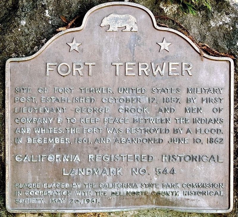
1. Fort Terwer Marker
Site of Fort Terwer, United States military post established October 12, 1857, by First Lieutenant George Crook and men of Company D to keep peace between the Indians and whites. The fort was destroyed by a flood. in December, 1861, and abandoned June 10, 1862.
California Registered Historical Landmark No. 544.
Erected 1961 by California State Park Commission; and Del Norte County Historical Society. (Marker Number 544.)
Topics and series. This historical marker is listed in these topic lists: Forts and Castles • Indigenous Peoples and Communities • Wars, US Indian. In addition, it is included in the California Historical Landmarks series list. A significant historical year for this entry is 1857.
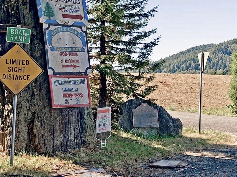
Location. 41° 30.606′ N, 123° 59.304′ W. Marker is in Klamath, California, in Del Norte County. It is at the intersection of Terwer Riffle Road and Trinity Way, in the median on Terwer Riffle Road. Touch for map. Marker is at or near this postal address: 330 Terwer Riffle Rd, Klamath CA 95548, United States of America. Touch for directions.

Regionally, this marker is in the North Coast, specifically
this page online
Other nearby markers. At least 8 other markers are within 11 miles of this marker, measured as the crow flies: Captain Courageous (approx. 2.7 miles away); River on the Rampage (approx. 3.1 miles away); Disguised to Protect (approx. 4.7 miles away); The End of the Trail (approx. 7.2 miles away); The Redwood Highway (approx. 9.4 miles away); The Forest for the Trees (approx. 9½ miles away); The CCC at Prairie Creek (approx. 10.3 miles away); Madison Grant Forest and Elk Refuge (approx. 10.6 miles away). Touch for a list and map of all markers in Klamath.
Regarding Fort Terwer. 1st Lieutenant George Crook suggested the name "Ter-Waw" — Yurok Indian for "beautiful place". The fort is also known as Ter-Wer, and Terwer.
Photographed by Craig Baker
2. Fort Terwer Marker
Credits. This page was last revised on December 8, 2024. It was originally submitted on February 4, 2024, by Craig Baker of Sylmar, California. This page has been viewed 457 times since then and 58 times this year. Photos: 1, 2. submitted on February 4, 2024, by Craig Baker of Sylmar, California.
