Long Island City in Queens in Queens County, New York — The American Northeast (Mid-Atlantic)
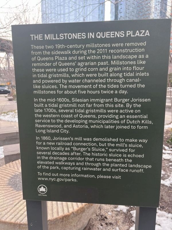
The Millstones in Queens Plaza
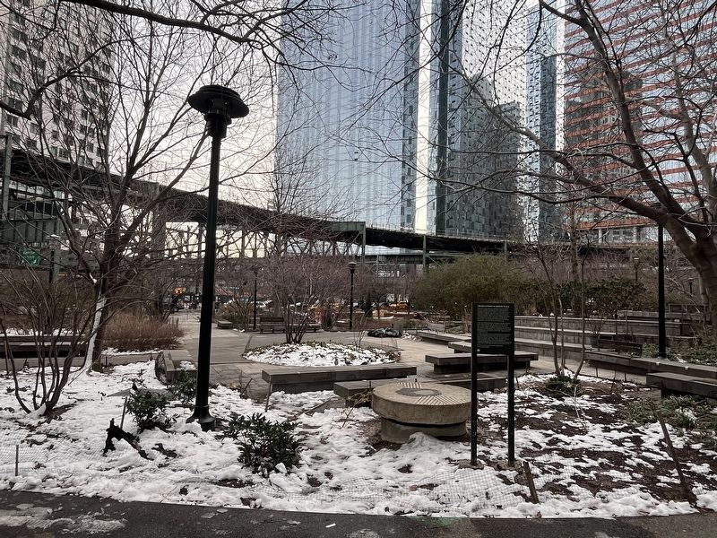
These two 19th-century millstones were removed from the sidewalk during the 2011 reconstruction of Queens Plaza and set within this landscape as a reminder of Queens' agrarian past. Millstones like these were used to grind corn and grain into flour in tidal gristmills, which were built along tidal inlets and powered by water channeled through canal-like sluices. The movement of the tides turned the millstones for about five hours twice a day.
In the mid-1600s, Silesian immigrant Burger Jorissen built a tidal gristmill not far from this site. By the late 1700s, several tidal gristmills were active on the western coast of Queens, providing an essential service to the developing municipalities of Dutch Kills, Ravenswood, and Astoria, which later joined to form Long Island City.
In 1860, Jorissen's mill was demolished to make way for a new railroad connection, but the mill's sluice, known locally as "Burger's Sluice," survived for several decades after. The historic sluice is echoed in the drainage corridor that runs beneath the elevated walkways and through the planted landscape of the park, capturing rainwater and surface runoff.
To find out more information, please visit www.nyc.gov/parks.
Erected by NYC Parks.
Topics and series. This historical marker is listed in these topic lists: Colonial Era • Industry & Commerce • Parks & Recreational Areas • Waterways & Vessels. In addition, it is included in the NYC Parks series list. A significant historical year for this entry is 2011.
Location. 40° 44.994′ N, 73° 56.203′ W. Marker is in Queens, New York, in Queens County. It is in Long Island City. Marker is at the intersection of 41st Avenue and Queens Plaza North, on the left when traveling west on 41st Avenue. Touch for map. Marker is at or near this postal address: 29-23 41st Ave, Long Island City NY 11101, United States of America. Touch for directions.
Other nearby markers. At least 8 other markers are within walking distance of this marker. GreenThumb (approx. ¼ mile away); Church of St. George (approx. 0.3 miles away); Capt. Malcolm A. Rafferty (approx. 0.4 miles away); Supreme Court of the State of New York (approx. 0.4 miles away); What Grows? (Prelude to After the Fire) (approx. 0.6 miles away); Murray Playground (approx. 0.6 miles away); Lights, Camera, Action! (approx. ¾ mile away); Veterans Memorial (approx. 0.8 miles away). Touch for a list and map of all markers in Queens.
Credits. This page was last revised on February 19, 2024. It was originally submitted on February 19, 2024, by Devry Becker Jones of Washington, District of Columbia. This page has been viewed 47 times since then. Photos: 1, 2. submitted on February 19, 2024, by Devry Becker Jones of Washington, District of Columbia.

