Brooklyn Heights in Kings County, New York — The American Northeast (Mid-Atlantic)
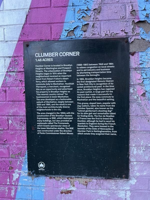
Clumber Corner
1.46 acres
Clumber Corner is located in Brooklyn Heights at Washington and Prospect Streets. The urbanization of Brooklyn Heights began in 1814 when the neighborhood received an important boost from Robert Fulton's steam ferry, which allowed workers to commute daily to Manhattan. Hezekiah Pierrepont, a merchant, recognized this as an opportunity and advertised his property in Brooklyn Heights as "the nearest country retreat" for businessmen in lower Manhattan. The area developed as a fashionable suburb of Manhattan, largely between 1830 and 1890, and the result is one of the most architecturally diverse neighborhoods in the city.
The area changed in the 1950s with the construction of the Brooklyn-Queens Expressway, or BQE, which destroyed many buildings, but also provided an esplanade called The Promenade, which boasts spectacular views of the lower Manhattan skyline. The BQE was constructed under the direction of Parks Commissioner Robert Moses (1888-1981) between 1946 and 1964 to relieve congestion on local streets and to aid industry and business by shortening transportation time between the boroughs.
In 1965, Brooklyn Heights became the first designated Historic District in New York City in recognition of its varied architectural past. In the time since, Brooklyn Heights has regained its past cachet, in large part for the reasons that made it successful in the first place: the easy commute to Manhattan and the beautiful setting.
This grassy, sloped lawn, popular with dog-walkers, takes its name from the Clumber Spaniel, also known as the "retired gentleman's shooting dog" for its slow gait and remarkable talent for finding birds. The Duc de Noailles of France was the first to breed the Clumber, although he had to send his spaniels to England during the French Revolution. They were housed in the kennels of the Duke of Newcastle at Clumber Park in Nottinghamshire, from which estate they acquired their name.
Erected by NYC Parks.
Topics and series. This historical marker is listed in these topic lists: Animals • Parks & Recreational Areas • Roads & Vehicles • Waterways & Vessels. In addition, it is included in the NYC Parks series list. A significant historical year for this entry is 1814.
Location. 40° 42.047′ N, 73° 59.332′ W. Marker is in Brooklyn, New York, in Kings County. It is in Brooklyn Heights. Marker is on Prospect Street just west of Adams Street, on the right when traveling west. The marker can be found on the underpass of the Brooklyn-Queens Expressway exit onto the Brooklyn Bridge. Touch for map. Marker is at or near this postal address: 108 Adams St, Brooklyn NY 11201, United States of America. Touch for directions.
Other nearby markers. At least 8 other markers are

Photographed By Devry Becker Jones (CC0), February 16, 2024
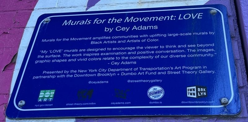
3. Interpretive sign for the mural behind the marker
Credits. This page was last revised on February 19, 2024. It was originally submitted on February 19, 2024, by Devry Becker Jones of Washington, District of Columbia. This page has been viewed 53 times since then. Photos: 1, 2, 3. submitted on February 19, 2024, by Devry Becker Jones of Washington, District of Columbia.

