Spring Township near Elliottsburg in Perry County, Pennsylvania — The American Northeast (Mid-Atlantic)
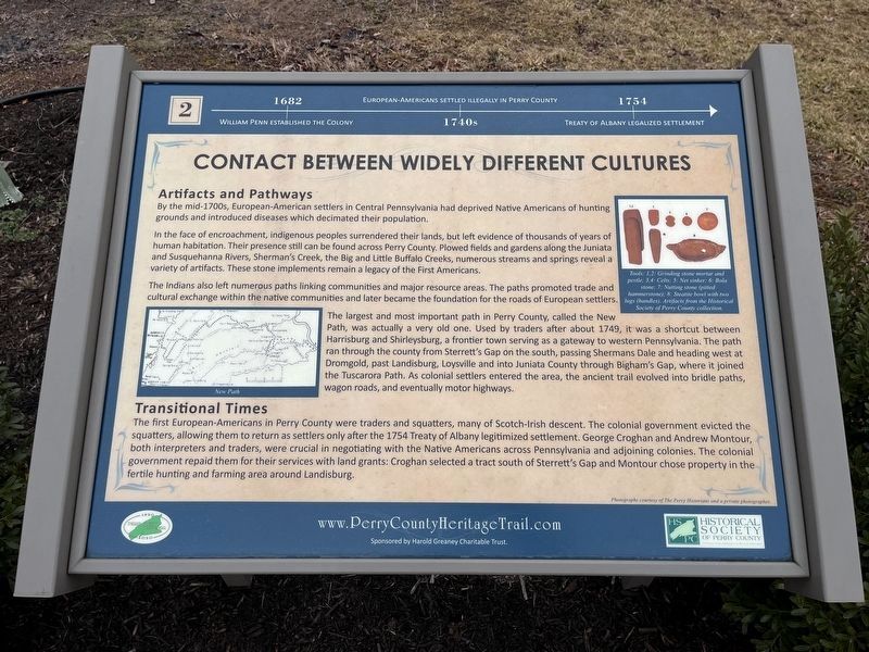
Contact Between Widely Different Cultures
Perry County Bicentennial
— 1820 - 2020 —

Photographed By Devry Becker Jones (CC0), February 23, 2024
1. Contact Between Widely Different Cultures Marker
1682: William Penn established the colony.
1740s: European-Americans settled illegally in Perry County.
1754: Treaty of Albany legalized settlement.
Artifacts and Pathways
By the mid-1700s, European-American settlers in Central Pennsylvania had deprived Native Americans of hunting grounds and introduced diseases which decimated their population.
In the face of encroachment, indigenous peoples surrendered their lands, but left evidence of thousands of years of human habitation. Their presence still can be found across Perry County. Plowed fields and gardens along the Juniata and Susquehanna Rivers, Sherman's Creek, the Big and Little Buffalo Creeks, numerous streams and springs reveal a variety of artifacts. These stone implements remain a legacy of the First Americans.
The Indians also left numerous paths linking communities and major resource areas. The paths promoted trade and cultural exchange within the native communities and later became the foundation for the roads of European settlers.
The largest and most important path in Perry County, called the New Path, was actually a very old one. Used by traders after about 1749, it was a shortcut between Harrisburg and Shirleysburg, a frontier town serving as a gateway to western Pennsylvania. The path ran through the county from Sterrett's Gap on the south, passing Shermans Dale and heading west at Dromgold, past Landisburg, Loysville and into Juniata County through Bigham's Gap, where it joined the Tuscarora Path. As colonial settlers enlarged the area, the ancient trail evolved into bridle paths, wagon roads, and eventually motor highways.
Transitional Times
The first European-Americans in Perry County were traders and squatters, many of Scots-Irish descent. The colonial government evicted the squatters, allowing them to return as settlers only after the 1754 Treaty of Albany legitimized settlement. George Croghan and Andrew Montour, both interpreters and traders, were crucial in negotiating with the Native Americans across Pennsylvania and adjoining colonies. The colonial government repaid them for their services with land grants; Croghan selected a tract south of Sterrett's Gap and Montour chose property in the fertile hunting and farming area around Landisburg.
Erected 2020 by Historical Society of Perry County. (Marker Number 2.)
Topics and series. This historical marker is listed in these topic lists: Colonial Era • Native Americans • Roads & Vehicles

Photographed By Devry Becker Jones (CC0), February 23, 2024
2. Contact Between Widely Different Cultures Marker
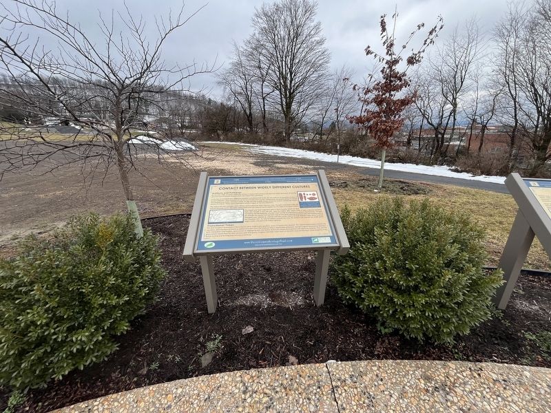
Location. 40° 23.079′ N, 77° 17.859′ W. Marker is near Elliottsburg, Pennsylvania, in Perry County. It is in Spring Township. Marker can be reached from Shermans Valley Road (Pennsylvania Route 274) 0.4 miles east of Veterans Way (Pennsylvania Route 74), on the right when traveling west. Touch for map. Marker is at or near this postal address: 2471 Shermans Valley Rd, Elliottsburg PA 17024, United States of America. Touch for directions.
Other nearby markers. At least 8 other markers are within walking distance of this marker. A New Century (here, next to this marker); The First Inhabitants of Perry County (here, next to this marker); Indian Attacks in Shermans Valley (here, next to this marker); Perry County Covered Bridges (here, next to this marker); WW I and Its Aftermath (here, next to this marker); Transportation and Natural Resources (here, next to this marker); Life in the Great Depression (here, next to this marker); The Gring Lions (a few steps from this marker). Touch for a list and map of all markers in Elliottsburg.
Credits. This page was last revised on February 27, 2024. It was originally submitted on February 27, 2024, by Devry Becker Jones of Washington, District of Columbia. This page has been viewed 49 times since then. Photos: 1, 2. submitted on February 27, 2024, by Devry Becker Jones of Washington, District of Columbia.