Near Fort Thompson in Buffalo County, South Dakota — The American Midwest (Upper Plains)
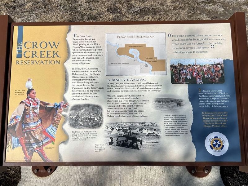
The Crow Creek Reservation
A Crow Creek Sioux dancer at a powwow.
Courtesy of South Dakota Public Broadcasting
The Crow Creek Reservation began in a tragic story of hardship. The Uprising, or the U.S. – Dakota War, started in 1862 when starving Dakota people spontaneously revolted against poor treatment and conditions and the U.S. government's failure to abide by treaty obligations.
In 1863, the U.S. military forcibly removed most of the Dakota and the Ho-Chunk (Winnebago) people, who were not involved in the war. The military relocated the people here at Fort Thompson on the Crow Creek Reservation. The expulsion ushered in an era of bare survival and disintegration of many families.
The Dakota attacked hundreds of settlers. In the aftermath of the war, the U.S. military found 303 Dakota men guilty and hanged 38 men in Mankato, Minnesota.
Courtesy of Minnesota Historical Society, negative #20733
A Desolate Arrival
In May 1863, the military sent 1,300 Isanti Dakota and Ho-Chunk, mainly women and children, to Fort Thompson on the Crow Creek Reservation. Crowded onto steamships and weakened by imprisonment, many died on the voyage.
When the people arrived, malnourished and in shock, they found a desolate Reservation in a severe drought. U.S. officials took six weeks to obtain supplies, many of which spoiled by the time they arrived. Harsh conditions at Crow Creek led to widespread starvation and illness— in the first six months, more than 200 Dakota people died, most of them children.
Crow Creek Reservation as it appeared circa 1900.
Courtesy of South Dakota State Historical Society
Old Fort Thompson eventually evolved from a prison camp to a town. Compete with a dance hall and racetrack, it became the social hub of the area. When the Corps constructed Fort Randall Dam, Old Fort Thompson flooded, and the town moved to its current location. A tight knit community developed here and continues to this day.
"For a time a teepee where no one was sick could scarcely be found, and it was a rare day when there was no funeral. . . . So the hills were soon covered with graves."
—Missionary John P. Williamson
Courtesy of South Dakota Public Broadcasting
Today, the Crow Creek Reservation has three Districts: Big Bend, Crow Creek, and Fort Thompson. Despite a traumatic history, the people are still here, thanks to the strength and adaptability of their ancestors.
To learn more about the story of the Crow Creek Reservation, pick up a history brochure at the Big Bend Dam/Lake Sharpe Project office.
Erected by Crow Creek Sioux Tribe.
Topics. This historical marker is listed in these topic lists: Forts and Castles • Native Americans • Wars, US Indian • Waterways & Vessels. A significant historical month for this entry is May 1863.
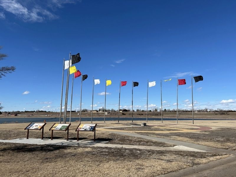
Location. 44° 3.581′ N, 99° 27.358′ W. Marker is near Fort Thompson, South Dakota, in Buffalo County. Marker is on State Highway 47 north of Lower Road, on the right when traveling south. Located by the Spirit of the Circle Monument at the Big Bend Dam. Touch for map. Marker is in this post office area: Fort Thompson SD 57339, United States of America. Touch for directions.
Other nearby markers. At least 3 other markers are within walking distance of this marker. The Spirit of the Circle Monument (here, next to this marker); The Lower Brule Sioux Reservation (here, next to this marker); Spirit of the Circle Monument Stone (a few steps from this marker).
Credits. This page was last revised on March 7, 2024. It was originally submitted on March 7, 2024. This page has been viewed 55 times since then. Photos: 1, 2. submitted on March 7, 2024.

