Brownsville in Brooklyn in Kings County, New York — The American Northeast (Mid-Atlantic)
Van Dyke Playground
1.398 acre
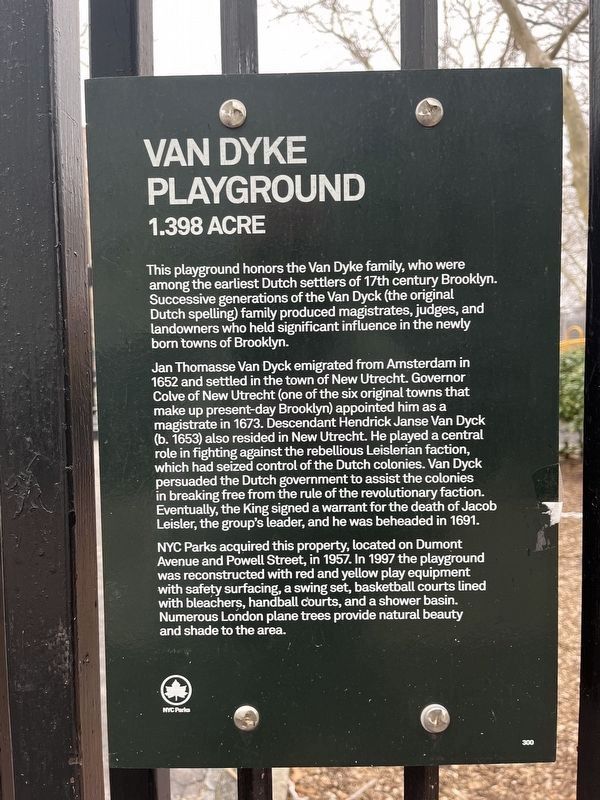
This playground honors the Van Dyke family, who were among the earliest Dutch settlers of 17th century Brooklyn. Successive generations of the Van Dyck (the original Dutch spelling) family produced magistrates, judges, and landowners who held significant influence in the newly born towns of Brooklyn.
Jan Thomasse Van Dyck emigrated from Amsterdam in 1652 and settled in the town of New Utrecht. Governor Colve of New Utrecht (one of the six original towns that make up present-day Brooklyn) appointed him as a magistrate in 1673. Descendant Hendrick Janse Van Dyck (b. 1653) also resided in New Utrecht. He played a central role in fighting against rebellious Leislerian faction, which had seized control of the Dutch colonies. Van Dyck persuaded the Dutch government to assist the colonies in breaking free from the rule of the revolutionary faction. Eventually, the King signed a warrant for the death of Jacob Leisler, the group's leader, and he was beheaded in 1691.
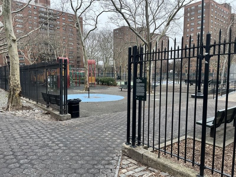
NYC Parks acquired this property, located on Dumont Avenue and Powell Street, in 1957. In 1997 the playground was reconstructed with red and yellow play equipment with safety surfacing, a swing set, basketball courts lined with bleachers, handball courts, and a shower basin. Numerous London plane trees provide natural beauty and shade to the area.
Erected by NYC Parks. (Marker Number 300.)
Topics and series. This historical marker is listed in these topic lists: Colonial Era • Immigration • Parks & Recreational Areas • Settlements & Settlers. In addition, it is included in the NYC Parks series list. A significant historical year for this entry is 1652.
Location. 40° 39.886′ N, 73° 54.261′ W. Marker is in Brooklyn, New York, in Kings County. It is in Brownsville. Marker is on Dumont Avenue, 0.1 miles east of Mother Gaston Boulevard, on the right when traveling east. Touch for map. Marker is at or near this postal address: 399 Dumont Ave, Brooklyn NY 11212, United States of America. Touch for directions.
Other nearby markers. At least 8 other markers are within one mile of this marker, measured as the crow flies. Howard Playground (approx. half a mile away); a different marker also named Howard Playground (approx. half a mile away); Brownsville Recreation Center (approx. 0.6 miles away); Hilltop Playground (approx. 0.9 miles away); Callahan-Kelly Playground (approx. one mile away); New Hope Pentecostal Church of Greater Mt. Zion Inc. (approx. one mile away); Hull Street Community Garden (approx. 1.1 miles away); Heaven Bound Church of Christ Holy Temple, Inc. (approx. 1.1 miles away). Touch for a list and map of all markers in Brooklyn.
Credits. This page was last revised on March 13, 2024. It was originally submitted on March 13, 2024, by Devry Becker Jones of Washington, District of Columbia. This page has been viewed 35 times since then. Photos: 1, 2. submitted on March 13, 2024, by Devry Becker Jones of Washington, District of Columbia.

