Lorton in Fairfax County, Virginia — The American South (Mid-Atlantic)
The Trail to Victory at Yorktown
On The Washington-Rochambeau Revolutionary Route
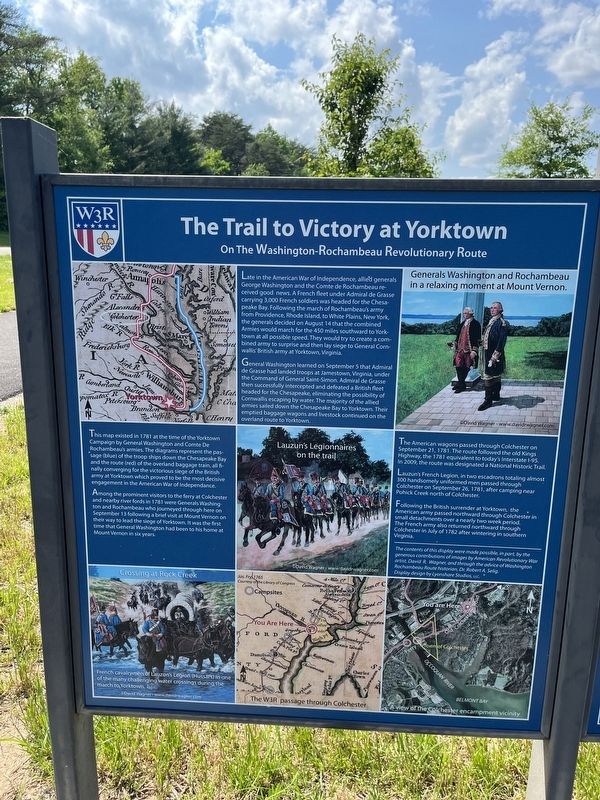
Late in the American War for Independence, allied generals George Washington and the Comte de Rochambeau received good news. A French fleet under Admiral de Grasse carrying 3,000 French soldiers was headed for the Chesapeake Bay. Following the march of Rochambeau's army from Providence, Rhode Island, to White Plains, New York, the generals decided on August 14 that the combined Armies would march for the 450 miles southward to Yorktown at all possible speed. They would try to create a combined army to surprise and then lay siege to General Cornwallis' British army at Yorktown, Virginia.
General Washington learned on September 5 that Admiral de Grasse had landed troops at Jamestown, Virginia, under the Command of General Saint-Simon. Admiral de Grasse then successfully intercepted and defeated a British fleet headed for the Chesapeake, eliminating the possibility of Cornwallis escaping by water. The majority of the allied armies sailed down the Chesapeake Bay to Yorktown. Their emptied baggage wagons and livestock continued on the overland route to Yorktown.
This map existed in 1781 at the time of the Yorktown Campaign by General Washington and Comte De Rochambeau's armies. The diagrams represent the passage (blue) of the troop ships down the Chesapeake Bay and the route (red) of the overland baggage train, all finally converging for the victorious siege of the British army at Yorktown which proved to be the most decisive engagement in the American War of Independence.
Among the prominent visitors to the ferry at Colchester and nearby river fords in 1781 were Generals Washington and Rochambeau who journeyed through here on September 13 following a brief visit at Mount Vernon on their way to lead the siege of Yorktown. It was the first time that General Washington had been to his home at Mount Vernon in six years.
The American wagons passed through Colchester on September 21, 1781. The route followed the old Kings Highway, the 1781 equivalent to today's Interstate I-95. In 2009, the route was designated a National Historic Trail.
Lauzan's French Legion, in two escadrons totaling almost 300 handsomely uniformed men passed through Colchester on September 26, 1781, after camping near Pohick Creek north of Colchester.
Following the British surrender at Yorktown, the American army passed northward through Colchester in small detachments over a nearly two week period. The French army also returned northward through Colchester in July of 1782 after wintering in Southern Virginia.
Topics and series. This historical marker is listed in these topic lists: Roads & Vehicles • War, US Revolutionary
Location. 38° 40.499′ N, 77° 13.563′ W. Marker is in Lorton, Virginia, in Fairfax County. Marker is on Old Colchester Road (Virginia Route 611) north of Greene Drive, on the right when traveling south. Touch for map. Marker is at or near this postal address: 10413 Old Colchester Rd, Lorton VA 22079, United States of America. Touch for directions.
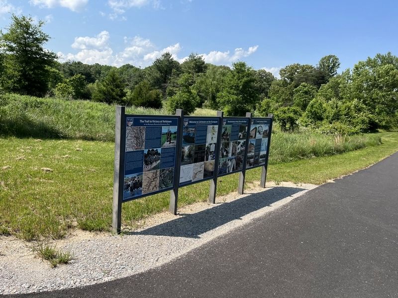
Other nearby markers. At least 8 other markers are within one mile of this marker, measured as the crow flies. Welcome to Colchester on the Occoquan (here, next to this marker); Revolutionary Army Life on the Road (here, next to this marker); In the Footsteps of History (here, next to this marker); Colchester (approx. 0.7 miles away); Elizabeth Hartwell Mason Neck National Wildlife Refuge / Explore a Trail Network (approx. 1.1 miles away); Gunston Hall / Pohick Bay Regional Park and Golf Course (approx. 1.1 miles away); A Near Tragedy (approx. 1.1 miles away); Welcome to Mason Neck! (approx. 1.1 miles away). Touch for a list and map of all markers in Lorton.
Credits. This page was last revised on March 18, 2024. It was originally submitted on May 22, 2022, by Devry Becker Jones of Washington, District of Columbia. This page has been viewed 144 times since then and 29 times this year. Last updated on March 18, 2024, by Thierry Chaunu of New York, New York. Photos: 1, 2. submitted on May 22, 2022, by Devry Becker Jones of Washington, District of Columbia.

