Garfield Park in Chicago in Cook County, Illinois — The American Midwest (Great Lakes)
Garfield Park Natural Area
Chicago Park District Natural Areas
Photographed by Sean Flynn, March 25, 2024
1. Garfield Park Natural Area Marker
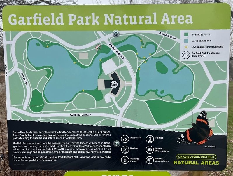
Garfield Park was carved from the prairie in the early 1870s. Graced with lagoons, flower gardens, and curving paths, Garfield, Humboldt, and Douglass Parks are connected by wide, tree-lined boulevards. Only 0.01% of the original native prairie remains in Illinois. Native plantings can help restore some of the plant and animal diversity we have lost.
For more information about Chicago Park District Natural Areas visit our website: www.chicagoparkdistrict.com/nature
Erected by Chicago Park District.
Topics and series. This historical marker is listed in these topic lists: Environment • Parks & Recreational Areas. In addition, it is included in the Former U.S. Presidents: #20 James A. Garfield series list.
Location. 41° 53.035′ N, 87° 43.007′ W. Marker is in Chicago, Illinois, in Cook County. It is in Garfield Park. It
this page online

Regionally, this marker is on Chicago’s West Side. It is also in the American Midwest. Globally, it is in North America, on the Great Lakes, in the Western Hemisphere, in the Western World, and in the Anglosphere. Historically, it finds itself in what was once the Viceroyalty of New France, the territory of the Mississippian Culture, and the Northwest Territory.
Other nearby markers. At least 8 other markers are within walking distance of this marker: A different marker also named Garfield Park Natural Area (within shouting distance of this marker); The Boulevard System (about 400 feet away, measured in a direct line); Garfield Park (about 500 feet away); Garfield Park Fieldhouse (about 500 feet away); Habitats: Home for Wildlife (about 600 feet away); a different marker also named Habitats: Home for Wildlife (about 600 feet away); a different
Photographed by Sean Flynn, March 25, 2024
2. Garfield Park Natural Area Marker
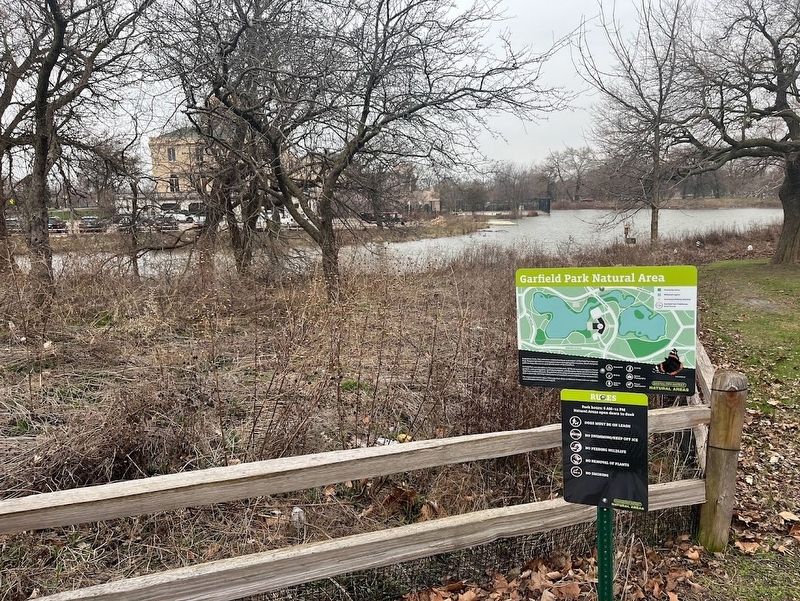
The park lagoon is in the immediate background, and behind that is the Garfield Park Fieldhouse, its golden dome mostly obscured by a tree.
More about this marker. The marker is one of at least four that can be found within the 172.5-acre Garfield Park.
Also see . . . Chicago Park District: Garfield (James) Park. (Submitted on March 26, 2024, by Sean P. Flynn of Oak Park, Illinois.)
Credits. This page was last revised on February 5, 2025. It was originally submitted on March 26, 2024, by Sean P. Flynn of Oak Park, Illinois. This page has been viewed 140 times since then and 16 times this year. Photos: 1, 2. submitted on March 26, 2024, by Sean P. Flynn of Oak Park, Illinois.
