Key West in Monroe County, Florida — The American South (South Atlantic)
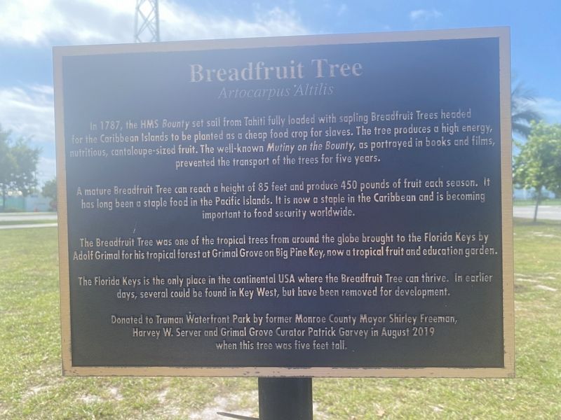
Breadfruit Tree
Artocarpus Altilis
A mature Breadfruit Tree can reach a height of 85 feet and produce 450 pounds of fruit each season. It has long been a staple food in the Pacific Islands. It is now a staple in the Caribbean and is becoming important to food security worldwide.
The Breadfruit Tree was one of the tropical trees from around the globe brought to the Florida Keys by Adolf Grimal for his tropical forest at Grimal Grove on Big Pine Key, now a tropical fruit and education garden.
The Florida Keys is the only place in the continental USA where the Breadfruit Tree can thrive. In earlier days, several could be found in Key West, but have been removed for development.
Donated to Truman Waterfront Park by former Monroe County Mayor Shirley Freeman, Harvey W. Server and Grimal Grove Curator Patrick Garvey in August 2019 when this tree was five feet tall.
Topics. This historical marker is listed in these topic lists: Environment • Exploration • Horticulture & Forestry • Parks & Recreational Areas • Waterways & Vessels. A significant historical year for this entry is 1787.
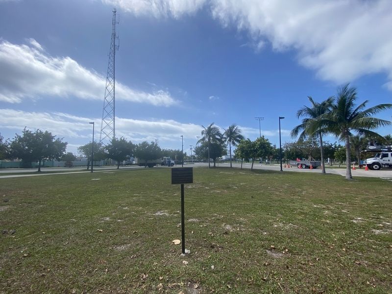
Location. 24° 33.068′ N, 81° 48.378′ W. Marker is in Key West, Florida, in Monroe County. Marker can be reached from Quay Road south of Southard Street, on the left when traveling east. Located in Truman Waterfront Park. Touch for map. Marker is at or near this postal address: 3 Quay Rd, Key West FL 33040, United States of America. Touch for directions.
Other nearby markers. At least 8 other markers are within walking distance of this marker. The Freedom Tree (about 400 feet away, measured in a direct line); USCGC Ingham (about 500 feet away); Coffee Butler (about 700 feet away); Submarine Base (about 700 feet away); The Outer Mole Pier (about 800 feet away); Battery Seminole (approx. 0.2 miles away); Marine Hospital (approx. 0.2 miles away); Frederic Douglass High School (approx. 0.2 miles away). Touch for a list and map of all markers in Key West.
Credits. This page was last revised on April 22, 2024. It was originally submitted on March 29, 2024, by Darren Jefferson Clay of Duluth, Georgia. This page has been viewed 45 times since then. Photos: 1, 2. submitted on April 22, 2024, by Darren Jefferson Clay of Duluth, Georgia. • Bernard Fisher was the editor who published this page.

