Frisco in Collin County, Texas — The American South (West South Central)
Military Survey of Preston Road
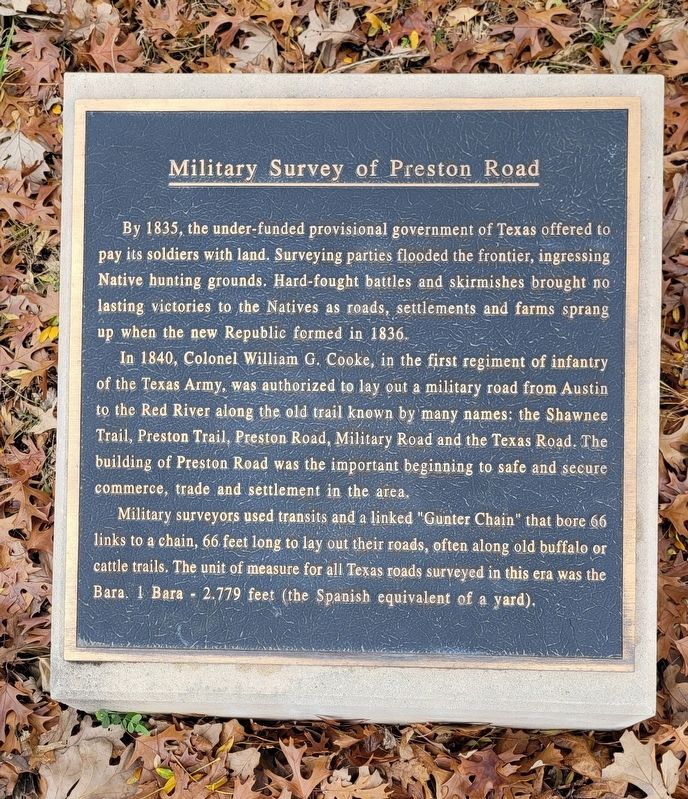
By 1835, the under-funded provisional government of Texas offered to pay its soldiers with land. Surveying parties flooded the frontier, ingressing Native hunting grounds. Hard-fought battles and skirmishes brought no lasting victories to the Natives as roads, settlements and farms sprang up when the new Republic formed in 1836.
In 1840, Colonel William G. Cooke, in the first regiment of infantry of the Texas Army, was authorized to lay out a military road from Austin to the Red River along the old trail known by many names: the Shawnee Trail, Preston Trail, Preston Road, Military Road and the Texas Road. The building of Preston Road was the important beginning to safe and secure commerce, trade and settlement in the area.
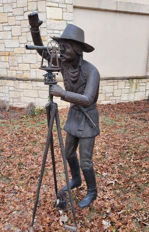
Military surveyors used transits and a linked "Gunter Chain" that bore 66 links to a chain, 66 feet long to lay out their roads, often along old buffalo or cattle trails. The unit of measure for all Texas roads surveyed in this era was the Bara. 1 Bara - 2.779 feet (the Spanish equivalent of a yard).
Erected by City of Frisco.
Topics. This historical marker is listed in these topic lists: Native Americans • Roads & Vehicles • Settlements & Settlers • Wars, US Indian. A significant historical year for this entry is 1835.
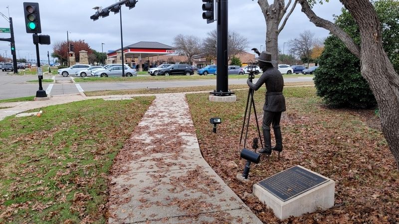
Location. 33° 6.529′ N, 96° 48.324′ W. Marker is in Frisco, Texas, in Collin County. Marker is at the intersection of Preston Road (U.S. 289) and Warren Parkway, on the right when traveling north on Preston Road. The marker is located at the southeast corner of the intersection. Touch for map. Marker is at or near this postal address: 3580 Preston Road, Frisco TX 75034, United States of America. Touch for directions.
Other nearby markers. At least 8 other markers are within walking distance of this marker. Origins: Cattle Country (approx. 0.2 miles away); Site of Lebanon (approx. ¼ mile away); American Bison (approx. 0.3 miles away); The Texas Longhorn (approx. 0.4 miles away); Trail Driving Prior to 1845 (approx. 0.4 miles away); The Cow Camp (approx. 0.4 miles away); The Trail Crew (approx. 0.4 miles away); The Trail Drive Company (approx. 0.6 miles away). Touch for a list and map of all markers in Frisco.
Also see . . . Military Road. Texas State Historical Association
In December 1838 the Congress of the Republic of Texas passed a law directing military personnel to cut a road between Austin and Fort Inglish (now Bonham). The road was intended to protect and advance the frontier by connecting a series of forts to be erected from San Patricio northward to a point near Coffee's Station on the Red River. Col. William Gordon Cooke, commanding the First Regiment of Infantry, was in charge of the expedition, which set out in the fall of 1840 with instructions to begin the road on the Texas side of the mouth of the "Kiamishua Red" river in what is now northwest Red River County and terminate at the Brazos. The troops followed a route close to that of Interstate Highway 35, angling toward the east from the approximate site of present-day Abbott.(Submitted on January 16, 2023, by James Hulse of Medina, Texas.)
Additional commentary.
1. Spelling on the marker
The unit used by the State of Texas is spelled Vara.
— Submitted April 3, 2024.
Credits. This page was last revised on April 3, 2024. It was originally submitted on January 16, 2023, by James Hulse of Medina, Texas. This page has been viewed 188 times since then and 87 times this year. Last updated on April 3, 2024, by Monte Sheppard of Abilene, Texas. Photos: 1, 2, 3. submitted on January 16, 2023, by James Hulse of Medina, Texas. • Devry Becker Jones was the editor who published this page.


