Lincoln City in Lincoln County, Oregon — The American West (Northwest)
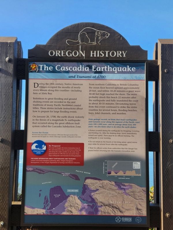
The Cascadia Earthquake
and Tsunami of 1700
— Oregon History —
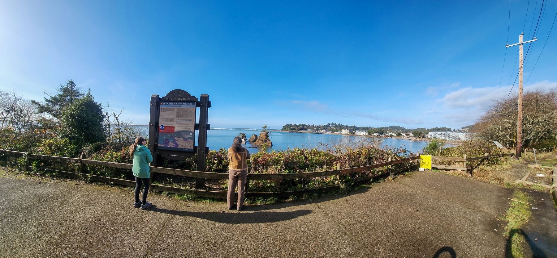
During the 18th century, Native American villages occupied the mouths of nearly every stream along this coastline—including here at Siletz Bay.
References to great flooding and ground shaking events are recorded in the oral traditions of many Pacific Northwest coastal tribes. These stories include instructions about how to prepare for large flooding events.
On January 26, 1700, the earth shook violently in the throes of a magnitude 9+ earthquake that occurred along the great offshore fault system called the Cascadia Subduction Zone.
From northern California to British Columbia the ocean floor heaved upward approximately 20 feet, and within 10-20 minutes a giant wave 30-40 feet high reached the shore. The wave probably struck this beach 22 minutes after the earthquake and fully inundated the coast in about 30-35 minutes. Devastating waves from this event continued to strike the entire coastline for several hours, flooding beaches, bays, tidal channels, and marshes.
From geologic records, we know that major earthquakes and tsunamis occur along this segment of the Pacific coast every 100-1000 years, and on average about every 500 years—we also know what to do when the earth shakes:
• Protect yourself during the earthquake by Dropping, Covering, and Holding On. After the shaking stops, travel immediately inland and uphill. There will be no official warning. The earthquake is your warning.
• Do not return to the beach or low-lying areas—giant waves may strike for several hours after the earthquake.
• Wait for official notice from authorities that the danger has passed before returning into the tsunami evacuation zone.
[Captions:]
Across the Ocean
We know the exact date of the January 1700 event through records of the tsunami that hit Japan as a result of the large Cascadia earthquake event here.
Be Prepared
It is easy to imagine the terror, tremendous loss of life, and destruction that occurred here at Siletz Bay, and along the entire coastline in the wake of the great tsunami of 1700. But you can survive these large earthquakes and tsunamis by being prepared.
For more information about earthquakes and tsunamis contact your local emergency planning office, Oregon Emergency Management, or the Oregon Department of Geology and Mineral Industries.
Erected by Oregon Travel Information Council.
Topics and series. This historical marker is listed in these topic lists: Disasters • Environment • Native Americans • Waterways & Vessels. In addition, it is included in the Oregon Beaver Boards series list. A significant historical date for this entry is January 26, 1700.
Location. 44° 55.49′ N, 124° 0.87′ W. Marker is in Lincoln City, Oregon, in Lincoln County. Marker is on Oregon Coast Highway (U.S. 101) south of Southeast 54th Drive, on the right when traveling south. Touch for map. Marker is in this post office area: Lincoln City OR 97367, United States of America. Touch for directions.
Other nearby markers. At least 6 other markers are within 13 miles of this marker, measured as the crow flies. Roy Bower and Jack Chambers Memorial (approx. 8.1 miles away); Conde B. McCullough: Oregon's Master Bridge Builder (approx. 10½ miles away); Ben Jones: Father of Oregon’s Coast Highway (approx. 10½ miles away); Cape Foulweather (approx. 11.7 miles away); Oregon’s Rocky Shores (approx. 12½ miles away); Devil's Punchbowl (approx. 12½ miles away).
Credits. This page was last revised on April 4, 2024. It was originally submitted on April 3, 2024, by Douglass Halvorsen of Klamath Falls, Oregon. This page has been viewed 46 times since then. Photos: 1, 2. submitted on April 3, 2024, by Douglass Halvorsen of Klamath Falls, Oregon. • Devry Becker Jones was the editor who published this page.

