Alviso in Santa Clara County, California — The American West (Pacific Coastal)
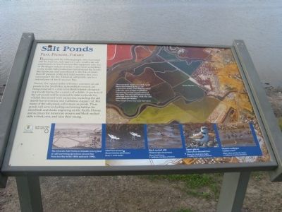
Salt Ponds
Past, Present, Future
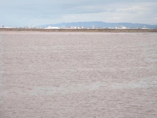
Twenty-five square miles of former commercial salt ponds in the South Bay, now publicly owned, are being restored to a mix of wetland habitats designed to provide homes for a variety of wildlife. A portion of the salt ponds will be restored to tidal wetlands for wildlife threatened with extinction, including the salt marsh harvest mouse and California clapper rail. But many of the salt ponds will remain ponds. These ponds will serve as feeding and resting habitat for shorebirds and ducks migrating on the Pacific Flyway, and as places for American avocets and black-necked stilts to feed, nest, and raise their young.
Erected by Santa Clara County Parks and the Santa Clara Valley Water District.
Topics. This historical marker is listed in these topic lists: Environment • Natural Resources • Waterways & Vessels.
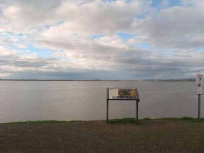
Location. 37° 25.865′ N, 121° 58.75′ W. Marker is in Alviso, California, in Santa Clara County. Marker can be reached from Hope Street. Marker is on the trail of the Alviso Marina County Park. Touch for map. Marker is in this post office area: Alviso CA 95002, United States of America. Touch for directions.
Other nearby markers. At least 8 other markers are within walking distance of this marker. Location, Location, Location (about 300 feet away, measured in a direct line); Water Everywhere (about 400 feet away); Discover Alviso’s Rich History (about 400 feet away); The Port and Town of Alviso (about 400 feet away); The Steamboat Jenny Lind Disaster (about 500 feet away); China Camp (approx. 0.2 miles away); Bayside Cannery (approx. 0.2 miles away); Union Warehouse and Docks (approx. 0.2 miles away). Touch for a list and map of all markers in Alviso.
More about this marker. This trail is also part of the San Francisco Bay Trail and the Juan Bautista de Anza National Historic Trail.
Also see . . . South Bay Salt Pond Restoration Project. Project website (Submitted on November 12, 2009, by Syd Whittle of Mesa, Arizona.)
3. The Salt Ponds
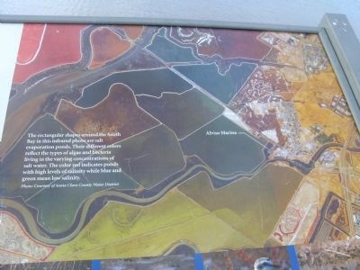
The rectangular shapes around the South Bay in this infrared photo are salt evaporation ponds. Their different colors reflect the types of algae and bacteria living in the varying concentrations of salt water. The color red indicates ponds with high levels of salinity while blue and green mean low salinity.
Photo: Courtesy of Santa Clara County Water District.
Photo: Courtesy of Santa Clara County Water District.
Credits. This page was last revised on February 7, 2023. It was originally submitted on November 12, 2009, by Syd Whittle of Mesa, Arizona. This page has been viewed 1,619 times since then and 45 times this year. Photos: 1, 2, 3, 4, 5, 6, 7. submitted on November 12, 2009, by Syd Whittle of Mesa, Arizona.
