Garfield Park in Chicago in Cook County, Illinois — The American Midwest (Great Lakes)
Garfield Park
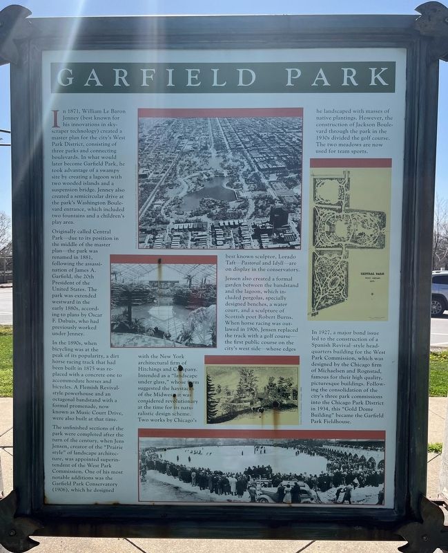
Originally called Central Park—due to its position in the middle of the master plan—the park was renamed in 1881, following the assassination of James A. Garfield, the 20th President of the United States. The park was extended westward in the early 1880s, according to plans by Oscar F. Dubuis, who had previously worked under Jenney.
In the 1890s, when bicycling was at the peak of its popularity, a dirt horse racing track that had been built in 1875 was replaced with a concrete one to accommodate horses and bicycles. A Flemish Revival-style powerhouse and an octagonal bandstand with a formal promenade, now known as Music Court Drive, were also built at that time.
The unfinished sections of the park were completed after the turn of the century, when Jens Jensen, creator of the "Prairie style" of landscape architecture, was appointed superintendent of the West Park Commission. One of his most notable additions was the Garfield Park Conservatory (1906), which he designed with the New York architectural firm of Hitchings and Company. Intended as a "landscape under glass," whose form suggested the haystacks of the Midwest, it was considered revolutionary at the time for its naturalistic design scheme. Two works by Chicago's best known sculptor, Lorado Taft—Pastoral and Idyll—are on display in the conservatory.
Jensen also created formal garden between the bandstand and the lagoon, which included pergolas, specially designed benches, a water court, and a sculpture of Scottish poet Robert Burns. When horse racing was outlawed in 1906, Jensen replaced the track with a golf course—the first public course on the city's west side—whose edges he landscaped with masses of native plantings. However, the construction of Jackson Boulevard through the park in the 1930s divided the golf course. The two meadows are now used for team sports.
In 1927, a major bond issue led to the construction of a Spanish Revival style headquarters building for the West Park Commission, which was designed by the Chicago firm of Michaelsen and Rognstad, famous for their high quality, picturesque buildings. Following the consolidation of the city's three park commissions into the Chicago Park District in 1934,
this "Gold Dome Building" became the Garfield Park Fieldhouse.
Topics and series. This historical marker is listed in these topic lists: Architecture • Environment • Parks & Recreational Areas • Roads & Vehicles. In addition, it is included in the Former U.S. Presidents: #20 James A. Garfield, and the Jens Jensen series lists. A significant historical year for this entry is 1871.
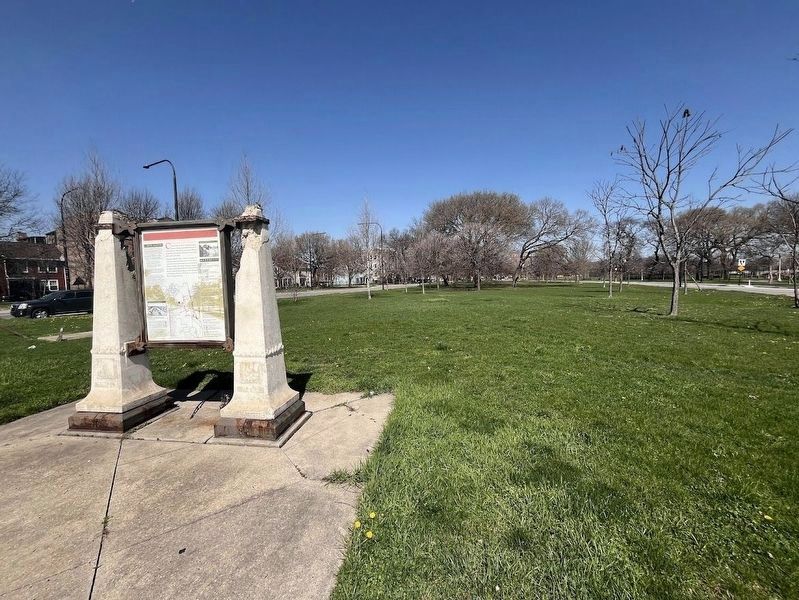
Location. 41° 52.477′ N, 87° 43.204′ W. Marker is in Chicago, Illinois, in Cook County. It is in Garfield Park. Marker is at the intersection of West Congress Parkway and Independence Boulevard, on the right when traveling west on West Congress Parkway. The marker is in the southern end of Garfield Park. It sits in the median-like space between Independence Boulevard and Hamlin Street at their intersection with Congress Parkway and the Eisenhower Expressway (I-290). Touch for map. Marker is in this post office area: Chicago IL 60624, United States of America. Touch for directions.
Other nearby markers. At least 8 other markers are within walking distance of this marker. The Boulevard System (here, next to this marker); Norman Cornwall Memorial (approx. ¼ mile away); a different marker also named Garfield Park (approx. 0.3 miles away); a different marker also named Garfield Park (approx. 0.4 miles away); 132nd Infantry Monument (approx. half a mile away); a different marker also
named Garfield Park (approx. half a mile away); Garfield Park Natural Area (approx. half a mile away); Garfield Park Fieldhouse (approx. 0.6 miles away). Touch for a list and map of all markers in Chicago.
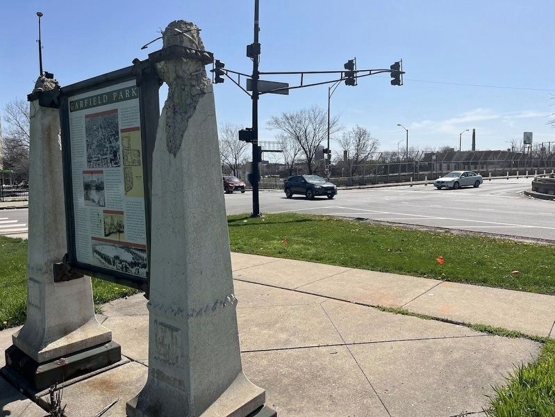
More about this marker. An identical marker can be found about a mile north, at the intersection of Lake Street and Central Park Avenue. The rear of this marker has a separate marker devoted to the history of Chicago's Boulevard system.
The sign itself and the steel surrounding it show significant deterioration and rust. Further, the concrete and steel structure holding up the signs has been damaged, and a metal canopy that originally was over the sign fell off sometime in the mid-2010s.
Also see . . . Garfield (James) Park. From the Chicago Park District (Submitted on April 8, 2024, by Sean Flynn of Oak Park, Illinois.)
Credits. This page was last revised on April 8, 2024. It was originally submitted on April 8, 2024, by Sean Flynn of Oak Park, Illinois. This page has been viewed 31 times since then. Photos: 1, 2, 3. submitted on April 8, 2024, by Sean Flynn of Oak Park, Illinois.


