West Tawakoni in Hunt County, Texas — The American South (West South Central)
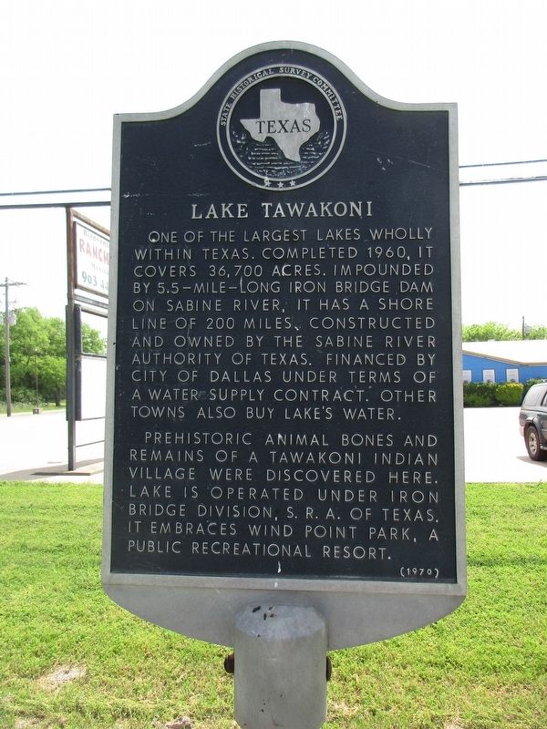
Lake Tawakoni
Prehistoric animal bones and remains of a Tawakoni Indian village were discovered here. Lake is operated under Iron Bridge Division, S.R.A. of Texas. It embraces Wind Point Park, a public recreational resort.
Erected 1970 by Texas Historical Commission. (Marker Number 7811.)
Topics. This historical marker is listed in these topic lists: Anthropology & Archaeology • Native Americans • Waterways & Vessels.
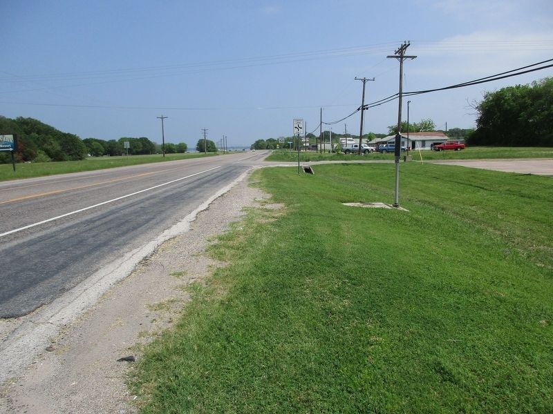
Location. 32° 54.196′ N, 96° 0.428′ W. Marker is in West Tawakoni, Texas, in Hunt County. Marker is at the intersection of State Highway 276 and Tomahawk Drive, on the right when traveling east on State Highway 276. Touch for map. Marker is at or near this postal address: 1941 E State Hwy 276, Quinlan TX 75474, United States of America. Touch for directions.
Other nearby markers. At least 8 other markers are within 13 miles of this marker, measured as the crow flies. Lone Oak Baptist Church (approx. 7.3 miles away); Lone Oak Methodist Church (approx. 7˝ miles away); Camp Matthew F. Locke, C.S.A. (approx. 8.4 miles away); Caddo Indians in Hunt County (approx. 8.8 miles away); Ables Springs (approx. 9 miles away); Union Grove Cemetery (approx. 10.8 miles away); Majors Army Airfield (approx. 11.9 miles away); William Lane (approx. 12˝ miles away).
Credits. This page was last revised on April 9, 2024. It was originally submitted on April 8, 2024, by Jeff Leichsenring of Garland, Texas. This page has been viewed 40 times since then. Photos: 1, 2. submitted on April 8, 2024, by Jeff Leichsenring of Garland, Texas. • James Hulse was the editor who published this page.

