Near Linlithgo in Columbia County, New York — The American Northeast (Mid-Atlantic)
The King's Hie Way
1714
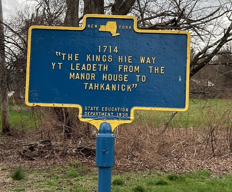
Photographed by Steve Stoessel, April 13, 2024
1. The King's Hie Way Marker
"The Kings Hie Way Yt leadeth from the manor house to Tahkanick"
Erected 1938 by State Education Department.
Topics. This historical marker is listed in these topic lists: Colonial Era • Roads & Vehicles.
Location. 42° 10.247′ N, 73° 50.633′ W. Marker is near Linlithgo, New York, in Columbia County. It is on County Route 10 east of Half Circle Road, on the right when traveling west. Touch for map. Marker is at or near this postal address: 183 County Route 10, Germantown NY 12526, United States of America. Touch for directions.

Regionally, this marker is in Upstate New York and in the Hudson Valley. It is also in the American Northeast and in the Mid-Atlantic. Globally, it is in North America, the Western Hemisphere, the Western World, and the Anglosphere. Historically, it finds itself in what was once New Netherland and also one of the original Thirteen Colonies.
Other nearby markers. At least 8 other markers are within 3 miles of this marker, measured as the crow flies: 1722 (approx. 0.2 miles away); Memorial Chapel (approx. 0.2 miles away);
this page online
Also see . . . The New York - Albany Post Road. (Submitted on May 7, 2024, by Steve Stoessel of Niskayuna, New York.)
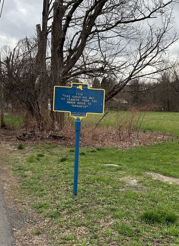
Photographed by Steve Stoessel, April 13, 2024
2. The King's Hie Way Marker
Credits. This page was last revised on June 23, 2026. It was originally submitted on April 15, 2024, by Steve Stoessel of Niskayuna, New York. This page has been viewed 207 times since then and 21 times this year. Photos: 1, 2. submitted on April 15, 2024, by Steve Stoessel of Niskayuna, New York.
