Marker Logo
THE HISTORICAL
MARKER DATABASE
“Bite-Size Bits of Local, National, and Global History”
Little Creek Hundred in White River Estates in Sussex County, Delaware — The American Northeast (Mid-Atlantic)
 

Phillips Landing and Harley G. Hastings
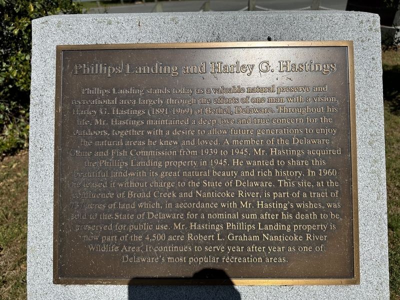
 
 
Phillips Landing and Harley G. Hastings Marker image. Click for full size.
Photographed by Pete Skillman, April 26, 2024
1. Phillips Landing and Harley G. Hastings Marker
Inscription. Phillips Landing stands today as a valuable natural preserve and recreational area largely through the efforts of one man with a vision, Harley G. Hastings (1891-1969) of Bethel, Delaware. Throughout his life, Mr. Hastings maintained a deep love and true concern for the outdoors, together with a desire to allow future generations to enjoy the natural areas he knew and loved. A member of the Delaware Game and Fish Commission from 1939 to 1945, Mr. Hastings acquired the Phillips Landing property in 1945. He wanted to share this beautiful land with its great natural beauty and rich history. In 1960 he leased it without charge to the State of Delaware. This site, at the confluence of Broad Creek and Nanticoke River, is part of a tract of 137 acres of land which, in accordance with Mr. Hasting's wishes, was sold to the State of Delaware for a nominal sum after his death to be preserved for public use. Mr. Hastings Phillips Landing property is now part of the 4,500 acre Robert L. Graham Nanticoke River Wildlife Area. It continues to serve year after year as one of Delaware's most popular recreation areas.
 
Topics. This historical
Paid Advertisement
Click or scan to see
this page online
marker is listed in these topic lists: EnvironmentParks & Recreational Areas. A significant historical year for this entry is 1945.
 
Location. 38° 33.835′ N, 75° 40.333′ W. Marker is in White River Estates, Delaware, in Sussex County. It is in Little Creek Hundred. It is on Phillips Landing Road, in the median. Touch for map. Marker is at or near this postal address: Phillips Landing Rd, Laurel DE 19956, United States of America. Touch for directions.

Regionally, this marker is in the American Mid-Atlantic, on the Delmarva Peninsula, and on the Eastern Seaboard. Globally, it is in the North Atlantic Region, North America, the Western Hemisphere, the Western World, and the Anglosphere. Historically, it finds itself in what was once New Netherland, one of the original Thirteen Colonies, and the Antebellum South.

Other nearby markers. At least 8 other markers are within 3 miles of this marker, measured as the crow flies: Captain John Smith Memorial (here, next to this marker); Portsville United Methodist Church (approx. 2.4 miles away); Woodland Ferry (approx. 2.6 miles away); Woodland United Methodist Church (approx. 2.6 miles
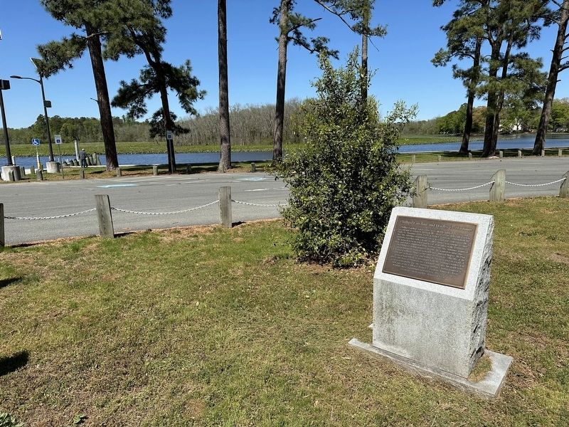
Phillips Landing and Harley G. Hastings Marker wide view image. Click for full size.
Photographed by Pete Skillman, April 26, 2024
2. Phillips Landing and Harley G. Hastings Marker wide view
away); The Tina Fallon (approx. 2.6 miles away); Veterans Memorial (approx. 2.9 miles away in Maryland); Chesapeake Bay Restoration in Progress (approx. 2.9 miles away in Maryland); Bethel Shipyard (approx. 2.9 miles away).
 
Another marker is no longer nearby. Cannon's Ferry (was approx. 2.6 miles away but has been replaced with another marker now near it).
 
 
Credits. This page was last revised on June 5, 2026. It was originally submitted on April 27, 2024, by Pete Skillman of Townsend, Delaware. This page has been viewed 189 times since then and 42 times this year. Photos:   1, 2. submitted on April 27, 2024, by Pete Skillman of Townsend, Delaware.
m=245612

CeraNet Cloud Computing sponsors the Historical Marker Database.
This website earns income from purchases you make after using our links to Amazon.com. We appreciate your support.
Paid Advertisement
Jul. 25, 2026
