Germantown in Columbia County, New York — The American Northeast (Mid-Atlantic)
Grist
⎯⎯⎯
Saw Mill
Photographed by Lee Rubenstein, April 27, 2024
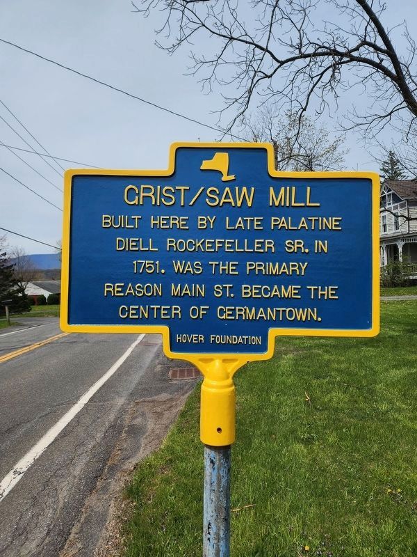
1. Grist / Saw Mill Marker
Built here by late Palatine Diell Rockefeller Sr. in 1751. Was the primary reason Main St. became the center of Germantown.
Erected by Hover Foundation.
Topics. This historical marker is listed in these topic lists: Agriculture • Colonial Era • Industry & Commerce • Settlements & Settlers.
Location. 42° 8.096′ N, 73° 53.565′ W. Marker is in Germantown, New York, in Columbia County. It is on Main Street west of State Route 9G, on the right when traveling west. Touch for map. Marker is at or near this postal address: 64 Main Street, Germantown NY 12526, United States of America. Touch for directions.

Regionally, this marker is in Upstate New York and in the Hudson Valley. It is also in the American Northeast and in the Mid-Atlantic. Globally, it is in North America, the Western Hemisphere, the Western World, and the Anglosphere. Historically, it finds itself in what was once New Netherland and also one of the original Thirteen Colonies.
Other nearby markers. At least 8 other markers are within 2 miles of this marker, measured as the crow
this page online
Photographed by Lee Rubenstein, May 9, 2024
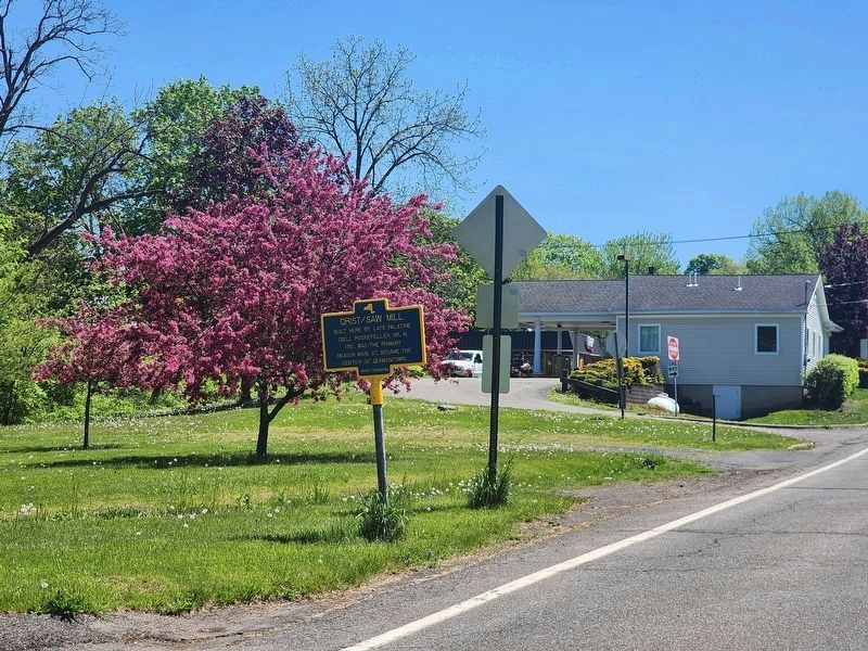
2. Grist / Saw Mill Marker
Credits. This page was last revised on May 13, 2024. It was originally submitted on May 3, 2024, by Lee Rubenstein of Germantown, New York. This page has been viewed 237 times since then and 28 times this year. Photos: 1. submitted on May 3, 2024, by Lee Rubenstein of Germantown, New York. 2. submitted on May 9, 2024, by Lee Rubenstein of Germantown, New York. • Michael Herrick was the editor who published this page.
