St. Martin in Brown County, Ohio — The American Midwest (Great Lakes)
Solomon Run Low-Head Dam Removal
Photographed by Craig Doda, May 4, 2024
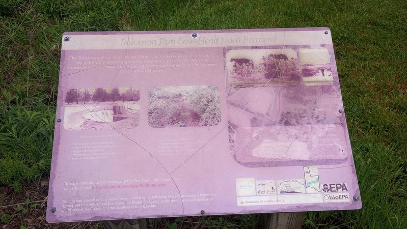
1. Solomon Run Low-Head Dam Removal Marker
The Solomon Run Low-Head Dam was constructed in the 1930s to provide a drinking water reservoir for the St. Martin community in 2013, the dam was removed to return the stream to its natural state.
Solomon Run Low-Head Dam
• Obstructed natural stream flow
• Degraded stream and stream-side habitat
• Degraded water quality
• Presented a public hazard and limited recreational opportunities
Solomon Run Stream Restoration
• Restored natural stream flow
• Improved stream and stream-side habitat
• Improved water quality
• Eliminated a public hazard and enhanced recreational opportunities
"First and foremost, every endeavor must reflect Gospel values and be in harmony with the nature of the land, its beauty, tranquility, and restorative potential for the human spirit. Our land is holy ground supporting efforts to experience and share the love of God in a myriad of ways. We want to ensure that there will be no impediments to deter these efforts from fullest expression."
The Ursulines of Brown County
Erected by Ohio Environmental Protection Agency; U.S. Environmental Protection.
Topics. This historical
this page online
Location. 39° 12.58′ N, 83° 53.303′ W. Marker is in St. Martin, Ohio, in Brown County. It can be reached from the intersection of Anderson State Road and Ohio Route 251, on the right when traveling east. The marker is the grounds of the Chatfield College Ursulines of Brown County. Touch for map. Marker is at or near this postal address: 4705 Anderson State Rd, Lynchburg OH 45142, United States of America. Touch for directions.

Regionally, this marker is in Greater Cincinnati and in Southern Ohio Hill Country. It is also in the American Midwest, in the Ohio River Valley, in Appalachia, and specifically in Northern Appalachia. Globally, it is in North America, the Western Hemisphere, the Western World, and the Anglosphere. Historically, it finds itself in what was once the Haudenosaunee (Iroquois) Confederacy, the territory of the Mississippian Culture, and the Northwest Territory.
Other nearby markers. At least 8 other markers are within walking distance of this marker:
Photographed by Craig Doda, May 4, 2024
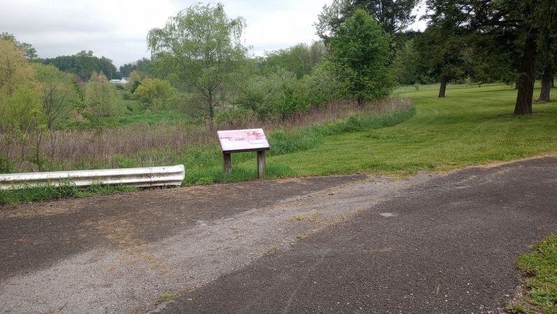
2. Solomon Run Low-Head Dam Removal Marker
Credits. This page was last revised on May 10, 2024. It was originally submitted on May 8, 2024, by Craig Doda of Napoleon, Ohio. This page has been viewed 262 times since then and 33 times this year. Photos: 1, 2. submitted on May 8, 2024, by Craig Doda of Napoleon, Ohio. • Devry Becker Jones was the editor who published this page.
