Duck Creek Hundred in Smyrna in Kent County, Delaware — The American Northeast (Mid-Atlantic)
In This Place...
An Ever-Changing Landscape

Photographed by Pete Skillman, May 20, 2024
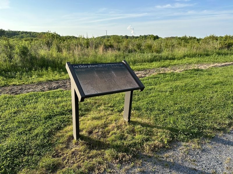
1. In This Place...An Ever-Changing Landscape Marker
Bombay Hook Island - Bygone Days
The series of illustrations tell the story of dramatic changes to the landscape just east of where you stand over the past 200 years...from a riverine one in the 1700's and 1800's...to a large ponded area by the early 1900's...to the vast tidal marsh system we have today.
The image below shows the meandering path of old Duck Creek along the Bayside area of "fast land" called "Bombay Hook Island". Note the old Bombay Hook Lighthouse (upper right), and Bay View Schoolhouse (lower left) that once sat at the intersection of Lighthouse Road and Route 9 - across from where the Mallard Lodge stands today.
The Storm of '78 and the Lake in its Wake
In 1878 a massive storm wreaked havoc on this part of the bay - breaching the dunes that had protected Bombay Hook Island and areas inland. The "Big Break" resulting allowed tidal water to flow into the land, creating a vast shallow inland lake, and dissecting the old bayside road that previously led down to Woodland Beach.
In "Tales of Bay View Neck", Florio describes old timers recollecting: "when they could put on a pair of skates at Bay View Schoolhouse and skate clear to the Lighthouse";
this page online
The Broadway Meadows Marsh Today
Over the ensuing decades, more breaks in the bayside banks developed. As channels deepened and widened, a more natural tidal ebb and flow was restored to the landscape, resulting in the fine expanse of tidal marsh that locals today call "Broadway Meadows".
A view out across Broadway Meadows can be enjoyed from the bridge of the ARE Center boardwalk or via the birding tower a half-mile south at the route 9 bend. The star marks your present location. The 1800's farmhouse that later became the M&M hunting lodge, and then the "old" ARE Center, is circled in red.
Topics. This historical marker is listed in these topic lists: Disasters • Environment • Waterways & Vessels. A significant historical year for this entry is 1878.
Location. 39° 19.802′ N, 75° 31.391′ W. Marker is in Smyrna, Delaware, in Kent County. It is in Duck Creek Hundred. It can be reached from Lighthouse Road. Touch for map. Marker is at or near this postal address: 2520 Lighthouse Rd, Smyrna DE
Photographed by Pete Skillman, May 20, 2024
2. In This Place...An Ever-Changing Landscape Marker wide view

Regionally, this marker is in Southern New Castle County. It is also in the American Mid-Atlantic, on the Delmarva Peninsula, and on the Eastern Seaboard. Globally, it is in the North Atlantic Region, North America, the Western Hemisphere, the Western World, and the Anglosphere. Historically, it finds itself in what was once New Netherland, one of the original Thirteen Colonies, and the Antebellum South.
Other nearby markers. At least 8 other markers are within walking distance of this marker: A different marker also named In This Place... (a few steps from this marker); Just Up the Road... (a few steps from this marker); a different marker also named In This Place... (within shouting distance of this marker); Just Down the Road… (within shouting distance of this marker); a different marker also named In This Place... (within shouting distance of this marker); In This Place… (within shouting distance of this marker); a different marker also named In This Place... (within shouting distance of this marker); a different marker also named In This Place... (within shouting distance of this marker). Touch for a list and map of all markers in Smyrna.
Credits. This page was last revised on May 15, 2026. It was originally submitted on May 21, 2024, by Pete Skillman of Wilmington, Delaware. This page has been viewed 230 times since then and 28 times this year. Photos: 1, 2. submitted on May 21, 2024, by Pete Skillman of Wilmington, Delaware.
