Bronte in Oakville in Halton Region, Ontario — Central Canada (North America)
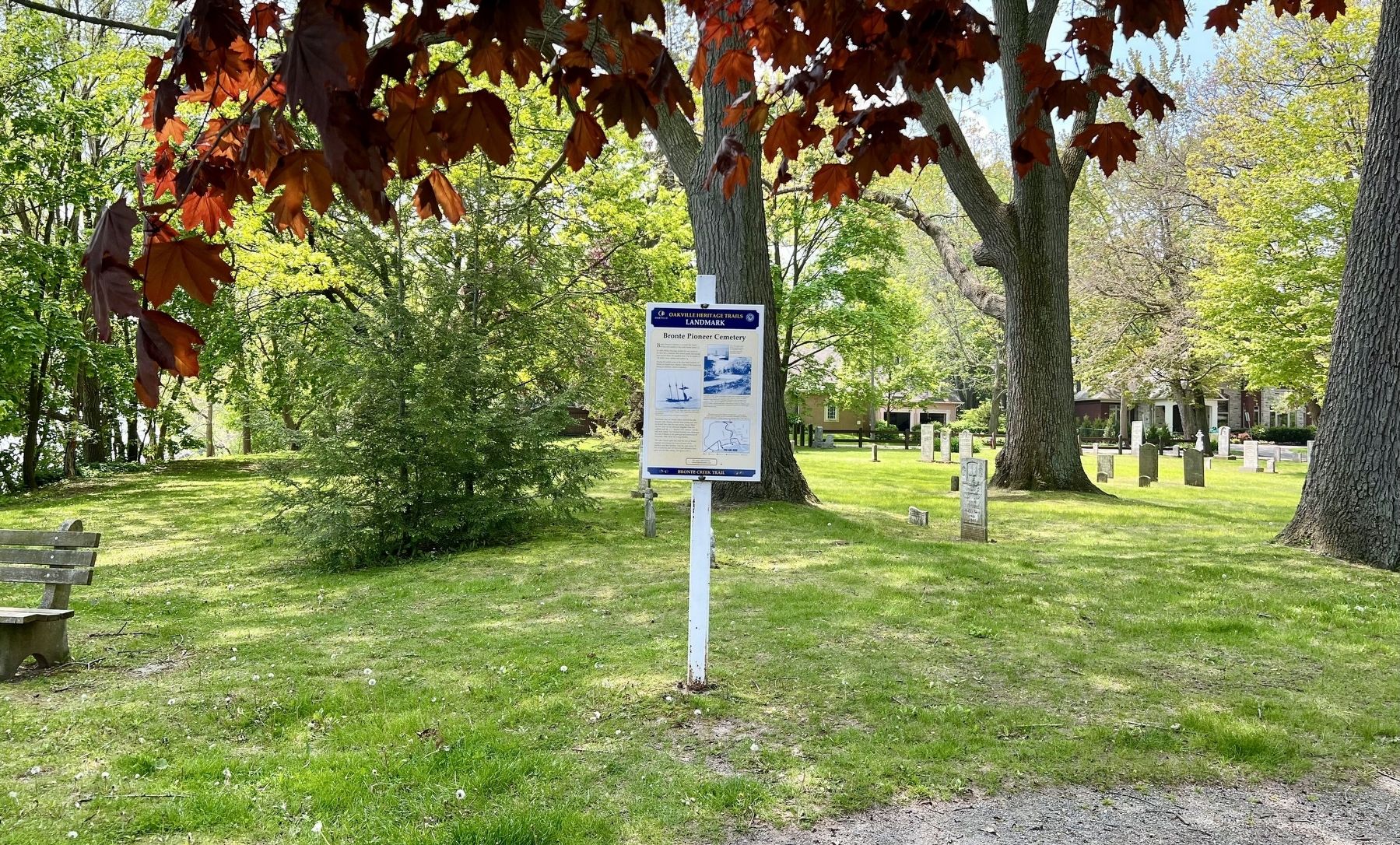
Bronte Pioneer Cemetery
Bronte Creek Trail

Photographed by Tim Boyd, May 20, 2024
1. Bronte Pioneer Cemetery Marker
In 1830, Philip Sovereign deeded the east corner of his farm for a cemetery after several people had already been buried there. He specified that it be for people of "all orders, sects, nations and parties."
Among the settlers some of the first black residents of Bronte are buried here. Almost a third of the headstones belong to children; others to mariners.
Sometimes, but not always, sailors survived the lake hazards. Lake Ontario claimed three young men who are buried here, near the west corner. Jimmy Baker was first mate on the schooner Magellan when she collided with the U. L. Hurd in 1877. Jimmy's was the only body found. The Dorland brothers were fishermen lost east of Bronte in the great gale and snowstorm of December 1886. Both left young families.
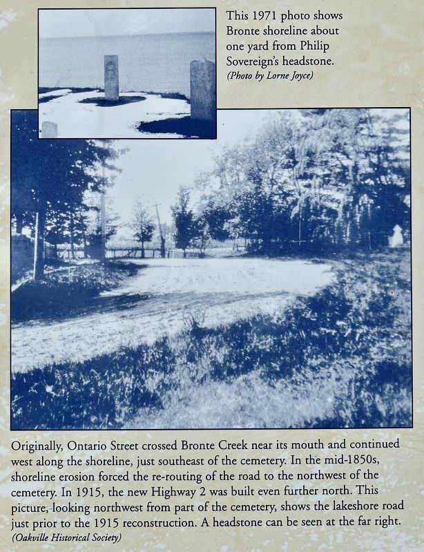
The Lake Ontario gales that took the lives of Bronte mariners also claimed the bones of some of the survivors and their families. Over the years about 70 feet of cemetery and 100 feet of road allowance have gone into the lake, taking a few graves with it.
Topics. This historical marker is listed in these topic lists: Cemeteries & Burial Sites • Settlements & Settlers • Waterways & Vessels. A significant historical year for this entry is 1830.
Location. 43° 23.178′ N, 79° 42.779′ W. Marker is in Oakville, Ontario, in Halton Region. It is in Bronte. It is on West Street 0.1 kilometers south of Seneca Drive, on the right when traveling south. Touch for map. Marker is at or near this postal address: 7 West St, Oakville ON L6L 2Y6, Canada. Touch for directions.

Regionally, this marker is in Greater Toronto, specifically on the Golden Horseshoe, in the Hamilton-Halton-Brant Area, and specifically in the Toronto Metropolitan Area. It is
this page online
Other nearby markers. At least 8 other markers are within 5 kilometers of this marker, measured as the crow flies: Sovereign House (circa 1825) (approx. 0.4 kilometers away); Bronte: a Fishing Village (approx. 0.9 kilometers away); From Boom to Bust, 1856-1877 (approx. 0.9 kilometers away); The Bronte Harbour Company (approx. 0.9 kilometers away); The Stonehookers of Lake Ontario (approx. 0.9 kilometers away); Bronte on Twelve Mile Creek (approx. 0.9 kilometers away); Yacht Launching in the 1970s (approx. 0.9 kilometers away); World Championship Wheat 1954 (approx. 4.2 kilometers away). Touch for a list and map of all markers in Oakville.
Also see . . . Cultural Heritage Evaluation Report- Bronte Cemetery.
Bronte Cemetery is significant as the final resting place of many of Bronte's earliest families many(Submitted on May 23, 2024, by Tim Boyd of Hamilton, Ontario.)of whom played significant roles in the development of the community. These include John Belyea who was buried in April 1825; and Samson "Horatio" Sovereign, who died at two years, nine months old in July 1829.98 Samson was the son of Charles and Elizabeth (nee Howell) Sovereign, and the grandson of Philip Sovereign, upon whose land the cemetery was established. Philip Sovereign joined his grandson in the cemetery four years later when he died in July 1833.Photographed by Tim Boyd, May 20, 20242. Bronte Pioneer Cemetery Marker
Photographed by Tim Boyd, May 20, 2024
3. Bronte Pioneer Cemetery marker photo detail
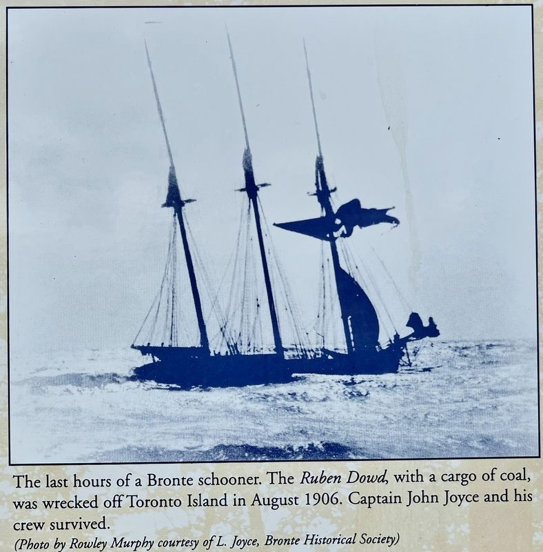
1906
4. Bronte Pioneer Cemetery marker photo detail
Photographed by Tim Boyd, May 20, 2024
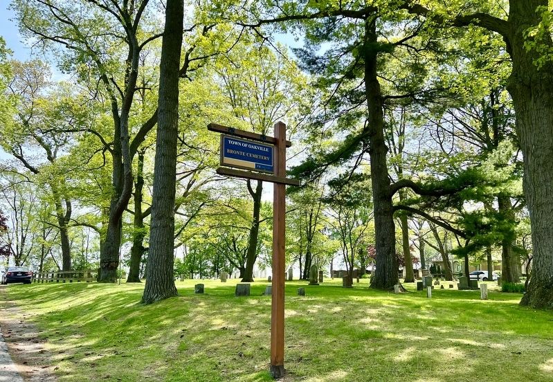
5. Bronte Pioneer Cemetery
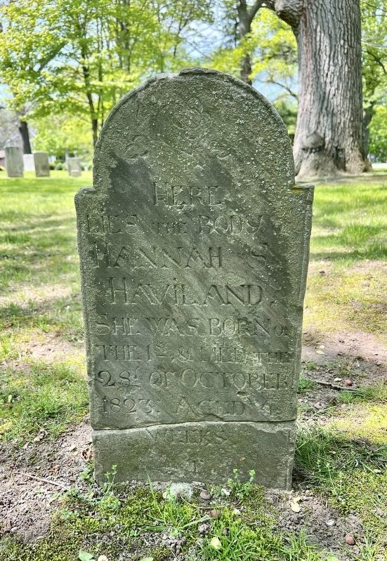
Photographed by Tim Boyd, May 20, 2024
6. Bronte Pioneer Cemetery, the earliest known burial from 1823
Credits. This page was last revised on June 5, 2024. It was originally submitted on May 23, 2024, by Tim Boyd of Hamilton, Ontario. This page has been viewed 339 times since then and 32 times this year. Photos: 1, 2, 3, 4, 5, 6. submitted on May 23, 2024, by Tim Boyd of Hamilton, Ontario. • Andrew Ruppenstein was the editor who published this page.
