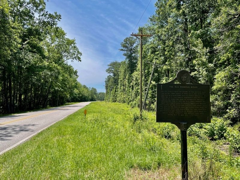
Near Tensaw in Baldwin County, Alabama — The American South (East South Central)
The Old Federal Road ⎯⎯⎯ The Black Crossing
Photographed by Mark Hilton, May 28, 2024
1. The Old Federal Road Marker
Inscription.
The Old Federal Road, also, The Black Crossing. .
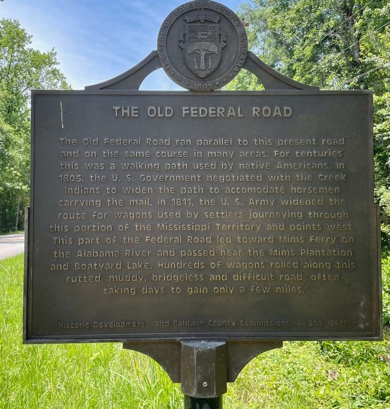
The Old Federal Road . The Old Federal Road ran parallel to this present road and on the same course in many areas for centuries this was a walking path used by native Americans. In 1805, the U. S. Government negotiated with the Creek Indians to widen the path to accommodate horsemen carrying the mail. In 1811, the U. S. Army widened the route for wagons used by settlers journeying through this portion of the Mississippi Territory and points west. This part of the Federal Road led toward Mims Ferry on the Alabama River and passed near the Mims Plantation and Boatyard Lake. Hundreds of wagons rolled along this rutted, muddy, bridgeless and difficult road, often taking days to gain only a few miles.,
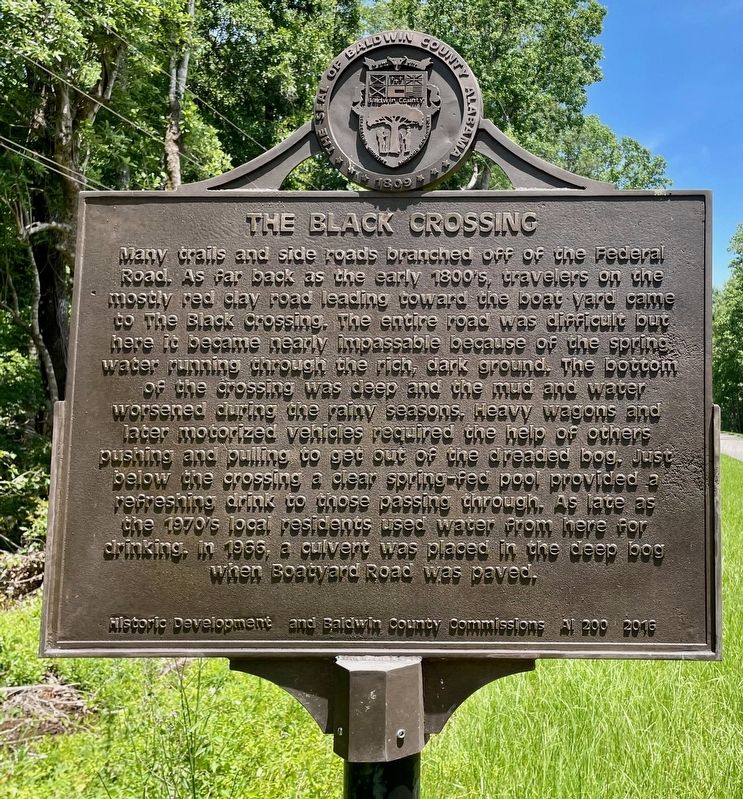
The Black Crossing. Many trails and side roads branched off of the Federal Road. As far back as the early 1800s, travelers on the mostly red clay road leading toward the boat yard came to the Black Crossing. The entire road was difficult but here it became nearly impassable because of the spring water running through the rich, dark ground. The bottom of the crossing was deep, and the mud and water worsened during the rainy seasons. Heavy wagons and later motorized vehicles required the help of others pushing and pulling to get out of the dreaded bog. Just below the crossing a clear spring-fed pool provided a refreshing drink to those passing through. As late as the 1970s local residents used water from here for drinking. In 1966, a culvert was placed in the deep bog when Boatyard Road was paved.
The Old Federal Road
The Old Federal Road ran parallel to this present road and on the same course in many areas for centuries this was a walking path used by native Americans. In 1805, the U. S. Government negotiated with the Creek Indians to widen the path to accommodate horsemen carrying the mail. In 1811, the U. S. Army widened the route for wagons used by settlers journeying through this portion of the Mississippi Territory and points west. This part of the Federal Road led toward Mims Ferry on the Alabama River and passed near the Mims Plantation and Boatyard Lake. Hundreds of wagons rolled along this rutted, muddy, bridgeless and difficult road, often taking days to gain only a few miles.
The Black Crossing
Many trails and side roads branched off of the Federal Road. As far back as the early 1800s, travelers on the mostly red clay road leading toward the boat yard came to the Black Crossing. The entire road was difficult but here it became nearly impassable because of the spring water running through the rich, dark ground. The bottom of the crossing was deep, and the mud and water worsened during the rainy
Click or scan to see this page online
seasons. Heavy wagons and later motorized vehicles required the help of others pushing and pulling to get out of the dreaded bog. Just below the crossing a clear spring-fed pool provided a refreshing drink to those passing through. As late as the 1970s local residents used water from here for drinking. In 1966, a culvert was placed in the deep bog when Boatyard Road was paved.
Erected 2016 by Historic Development and Baldwin County Commissions AL200.
Topics. This historical marker is listed in these topic lists: Environment • Roads & Vehicles. A significant historical year for this entry is 1805.
Location. 31° 10.404′ N, 87° 48.156′ W. Marker is near Tensaw, Alabama, in Baldwin County. It is on Boatyard Road (County Road 80) half a mile west of Burnt Car Road, on the right when traveling west. Touch for map. Marker is in this post office area: Stockton AL 36579, United States of America. Touch for directions.

Regionally, this marker is in Alabama’s Gulf Coast and in Mobile Bay. It is also in the American South, specifically in the Deep South, and on the Gulf Coast. Globally, it is in North America, a Gulf of Mexico
Photographed by Mark Hilton, May 28, 2024
2. The Black Crossing Marker
state, the Western Hemisphere, the Western World, and the Anglosphere. Historically, it finds itself in what was once New Spain, the Viceroyalty of New France, the territory of the Mississippian Culture, one of the Confederate States of America, and the Antebellum South.
3. The Old Federal Road / The Black Crossing Marker
Credits. This page was last revised on May 29, 2024. It was originally submitted on May 28, 2024, by Mark Hilton of Montgomery, Alabama. This page has been viewed 674 times since then and 109 times this year. Photos:1, 2, 3. submitted on May 28, 2024, by Mark Hilton of Montgomery, Alabama.