Near Little River in Baldwin County, Alabama — The American South (East South Central)
“The Red Eagle” William Weatherford
⎯⎯⎯
Sehoy Tate Weatherford Princess
Photographed by Mark Hilton, May 28, 2024
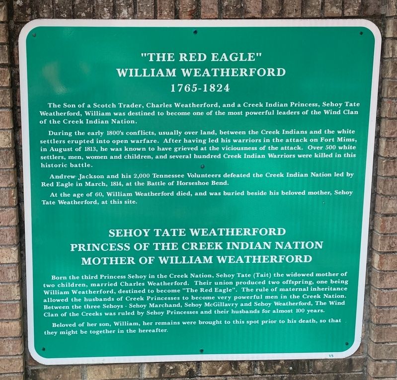
1. “The Red Eagle” William Weatherford / Sehoy Tate Weatherford Princess Marker
William Weatherford
1765-1824
During the early 1800s conflicts, usually over land, between the Creek Indians and the white settlers erupted into open warfare. After having led his warriors in the attack on Fort Mims, in August of 1813, he was known to have grieved at the viciousness of the attack. Over 500 white settlers, men, women, and children, and several hundred Creek Indian Warriors were killed in this historic battle.
Andrew Jackson and his 2,000 Tennessee Volunteers defeated the Creek Indian Nation led by Red Eagle in March 1814, at the Battle of Horseshoe Bend.
At the age of 60, William Weatherford died, and was buried beside his beloved mother, Sehoy Tate Weatherford, at this site.
Princess of the Creek Indian Nation
Mother of William Weatherford
this page online
Beloved of her son, William, her remains were brought to this spot prior to his death, no that they might be together in the hereafter.
Erected by Baldwin County Commission.
Topics. This historical marker is listed in these topic lists: Indigenous Peoples and Communities • Wars, US Indian. A significant historical month for this entry is March 1814.
Location. 31° 16.658′ N, 87° 45.666′ W. Marker is near Little River, Alabama, in Baldwin County. It is on Red Eagle Road 0.1 miles west of T.J. Earle Road, in the median. Located within William Weatherford Memorial Park. Touch for map. Marker is at or near this postal address: 15390 Red Eagle Rd, Little River AL 36550, United States of America.
Photographed by Mark Hilton, May 28, 2024
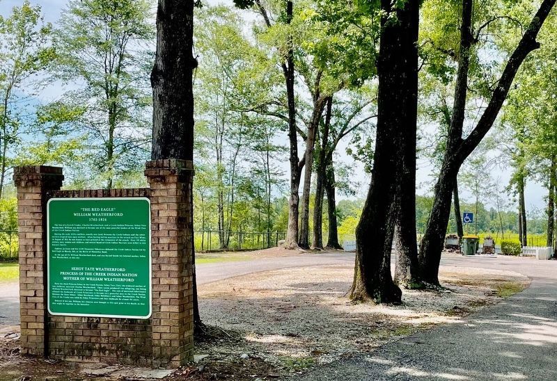
2. View of marker with graves in background right.

Regionally, this marker is on the Gulf Coast and in the Mobile Bay area. It is also in the American South, specifically in the Deep South, and on the Gulf Coast. Globally, it is in North America, a Gulf of Mexico state, the Western Hemisphere, the Western World, and the Anglosphere. Historically, it finds itself in what was once New Spain, the Viceroyalty of New France, the territory of the Mississippian Culture, one of the Confederate States of America, and the Antebellum South.
Other nearby markers. At least 8 other markers are within 9 miles of this marker, measured as the crow flies: Mt. Pleasant Methodist Church (approx. 6.9 miles away); The Old Federal Road / The Black Crossing (approx. 7.6 miles away); Hal's Kingdom (approx. 7.7 miles away); Tensaw / Early History of Tensaw (approx. 7.8 miles away); Mt. Nebo Death Masks (approx. 7.9 miles away); The North Wall and Loom House (approx. 8.1 miles away); Main Compound (approx. 8.1 miles away); Mims Plantation (approx. 8.1 miles away).
Also see . . .
1. Wikipedia article on William Weatherford (Red Eagle). (Submitted on May 28, 2024, by Mark Hilton of Montgomery, Alabama.)
2. Wikipedia article on Sehoy Tate.
Photographed by Mark Hilton, May 28, 2024
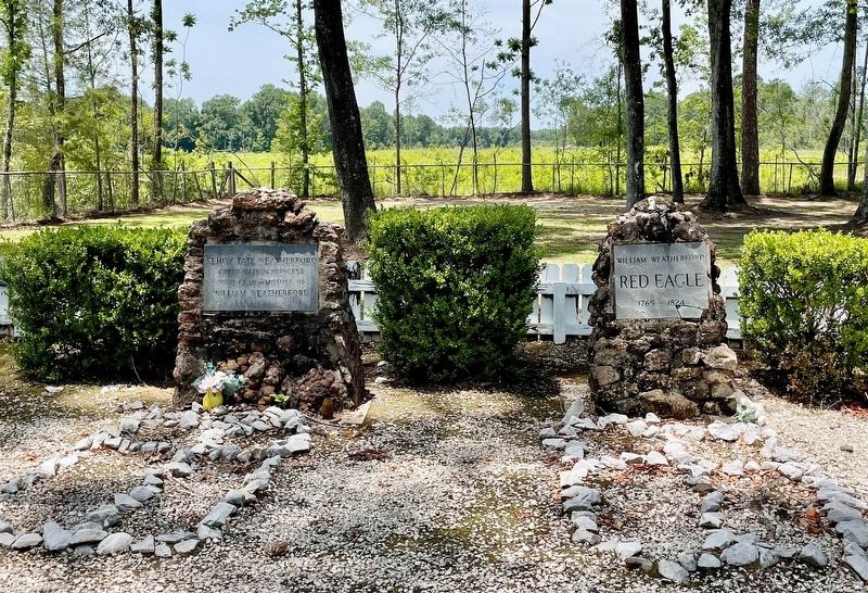
3. Graves of William Weatherford (right) - Sehoy Tate Weatherford (left).

Photographed by Mark Hilton
4. Sehoy Tate Weatherford Princess - “The Red Eagle” William Weatherford graves

Photographed by Mark Hilton, May 28, 2024
5. Grave site entrance
Public domain (Library of Congress)
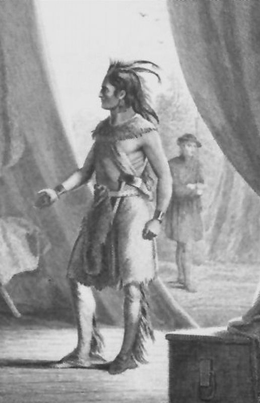
6. Chief Red Eagle
Credits. This page was last revised on November 19, 2024. It was originally submitted on May 28, 2024, by Mark Hilton of Montgomery, Alabama. This page has been viewed 2,335 times since then and 413 times this year. Photos: 1, 2, 3, 4, 5, 6. submitted on May 28, 2024, by Mark Hilton of Montgomery, Alabama.
