Near Tensaw in Baldwin County, Alabama — The American South (East South Central)
Main Compound
| — | Fort Mims Historical and Archaeological Site | — |

Photographed by Mark Hilton, May 28, 2024
1. Main Compound Marker
Fort Mims was the fortified home and outbuildings of Samuel, Mims. A stockade enclosed about an acre of land, a block house, and sixteen buildings, including the Mms family home, barns, kitchen, smokehouse, and spinning and weaving houses.
The stockade was expanded to provide room for the Mississippi Territorial Volunteer militia. On August 30, over 500 people had taken refuge within the stockade.
After the first attack through the east gate, the surviving Mississippi Territorial Volunteers moved inside the main compound, hoping they would be safe from attack; however, while they had been defending the east gate, Red Stick Creek warriors took control of gun ports. This allowed the Creeks to shoot into the fort, killing settlers and militia.
Captions:
Middle top:
In 1813, Alabama was part of the larger land area known as the Mississippi Territory, created by the U.S. Congress in 1798 from approximately the Mississippi River to the Chattahoochee River. The territory was increased again in 1804 and 1812 to reach from Tennessee to the Gulf of Mexico. With the territory growing, the United States Government sought ways to develop its growing nation through two federal roads, cutting through Creek lands. This twenty year expansion sparked international controversy as many European powers still held various influences in the region, especially with some indigenous populations who were considered allies. The growing American settlement and economic decline of southeast Indian groups resulted in tensions and an eventual division in the Creek nation - those who wanted to preserve their way of life versus those who were assimilating into non-native cultures. These developments became the complex roots of the Creek Wars (1813-1814). The Battle of Burnt Corn, also known as the Battle of Burnt Corn Creek, was an encounter between United States armed forces and Creek Indians that took place July 27, 1813 in present-day southern Alabama. The attack on Fort Mims was in retaliation to that exchange.
Image Source: Matthew Carey's General Atlas
Middle bottom:
Artifacts recovered on this site during archaeological investigations. Left: a tiny pinch pot, possibly made by a child. Right: fragments of historic Creek Indian pottery.
Source: Alabama Historical Commission
Right:
Fort Mims and surrounding country (from Albert James Pickett, History of Alabama [Walker and James, Charleston, S.C. 1851], volume II
Erected 2022
this page online
Topics. This historical marker is listed in these topic lists: Forts and Castles • Indigenous Peoples and Communities • Wars, US Indian. A significant historical date for this entry is July 27, 1813.
Location. 31° 10.834′ N, 87° 50.256′ W. Marker is near Tensaw, Alabama, in Baldwin County. It is on Fort Mims Road 0.4 miles north of Boatyard Road (County Road 80), on the right when traveling west. Located at east wall of Fort Mims site. Touch for map. Marker is at or near this postal address: 1813 Fort Mims Rd, Stockton AL 36579, United States of America. Touch for directions.

Regionally, this marker is on the Gulf Coast and in the Mobile Bay area. It is also in the American South, specifically in the Deep South, and on the Gulf Coast. Globally, it is in North America, a Gulf of Mexico state, the Western Hemisphere, the Western World, and the Anglosphere. Historically, it finds itself in what was once New Spain, the Viceroyalty of New France, the territory of the Mississippian Culture, one of the Confederate States of America, and the Antebellum South.
Other nearby markers. At least
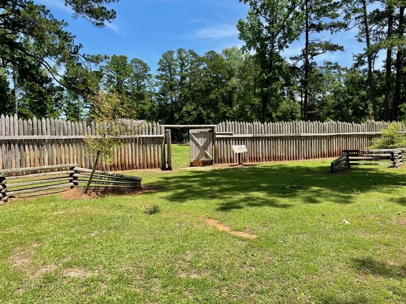
Photographed by Mark Hilton, May 28, 2024
2. Main Compound Marker on east wall.
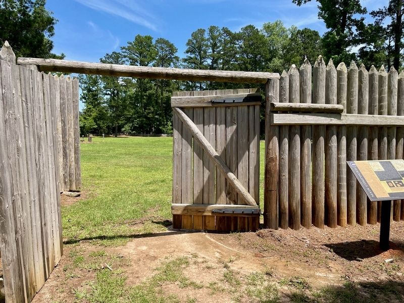
Photographed by Mark Hilton, May 28, 2024
3. View of marker and outer compound.
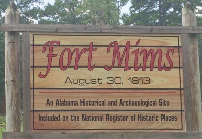
Photographed by Mark Hilton, July 25, 2015
4. Fort Mims Site sign.
Credits. This page was last revised on June 4, 2024. It was originally submitted on May 29, 2024, by Mark Hilton of Montgomery, Alabama. This page has been viewed 392 times since then and 44 times this year. Photos: 1, 2, 3, 4. submitted on May 29, 2024, by Mark Hilton of Montgomery, Alabama.
