
Franklin Township in Slippery Rock in Butler County, Pennsylvania — The American Northeast (Mid-Atlantic)
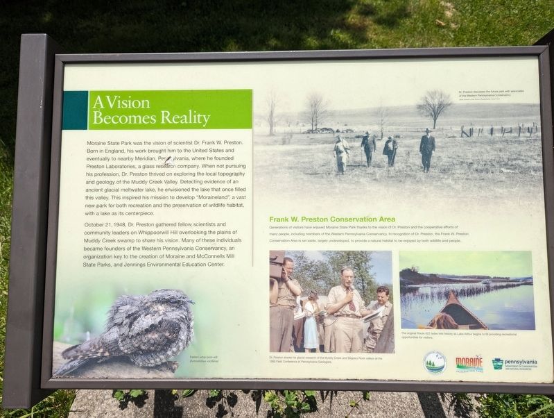
A Vision Becomes Reality
Photographed by Kelly Phillips, June 1, 2024
1. A Vision Becomes Reality Marker
October 21, 1948, Dr. Preston gathered fellow scientists and community leaders on Whippoorwill Hill overlooking the plains of Muddy Creek swamp to share his vision. Many of these individuals became founders of the Western Pennsylvania Conservancy, an organization key to the creation of Moraine and McConnells Mill State Parks, and Jennings Environmental Education Center.
Frank W. Preston Conservation Area
Generations of visitors have enjoyed Moraine State Park thanks to the vision of
this page online
Topics. This historical marker is listed in these topic lists: Environment • Parks & Recreational Areas. A significant historical date for this entry is October 21, 1948.
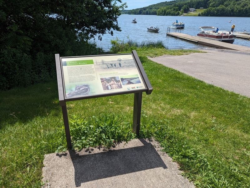
Location. 40° 57.132′ N, 80° 2.433′ W. Marker is in Slippery Rock, Pennsylvania, in Butler County. It is in Franklin Township. It is on Old Route 528 (Pennsylvania Route 528), on the right when traveling north. Marker faces Lake Arthur just off Old State Route 528, southeast of the public restroom. You can see the marker from the bridge that State Route 528 passes over. Touch for map. Marker is at or near this postal address: 2255 Old Rte 528, Slippery Rock PA 16057, United States of America. Touch for directions.

Regionally, this marker is in Northwestern Pennsylvania and in Greater Pittsburgh. It is also in the American Northeast, in the Mid-Atlantic, in Appalachia, and specifically
Photographed by Kelly Phillips, June 1, 2024
2. A Vision Becomes Reality Marker
Other nearby markers. At least 8 other markers are within 8 miles of this marker, measured as the crow flies: George Edward Waddell (approx. 3.3 miles away); Miller Esker Natural Area (approx. 4½ miles away); Old Stone House (approx. 4.6 miles away); Covered Bridge (approx. 6.8 miles away); Alumni Veterans Memorial (approx. 7½ miles away); Paul and Carolyn Carruth Rizza Hall (approx. 7.6 miles away); Hickory Corner Schoolhouse (approx. 7.6 miles away); Slippery Rock Honor Roll (approx. 7.6 miles away). Touch for a list and map of all markers in Slippery Rock.
Additional keywords. PA DCNR, pennsylvania state parks, pa state parks
Credits. This page was last revised on June 8, 2024. It was originally submitted on June 1, 2024, by Kelly Phillips of Verona, Pennsylvania. This page has been viewed 279 times since then and 28 times this year. Photos: 1, 2. submitted on June 1, 2024, by Kelly Phillips of Verona, Pennsylvania. • Bill Pfingsten was the editor who published this page.
