Worth Township in West Liberty in Butler County, Pennsylvania — The American Northeast (Mid-Atlantic)
Miller Esker Natural Area
A Property of the Western Pennsylvania Conservancy
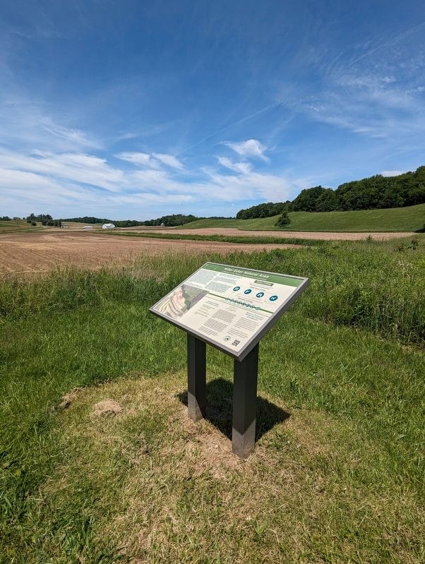
Photographed by Kelly Phillips, June 1, 2024
1. Miller Esker Natural Area Marker
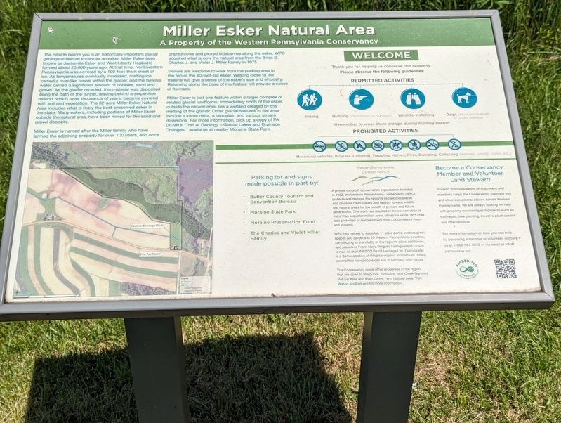
Miller Esker is named after the Miller family, who have farmed the adjoining property for over 100 years, and once grazed cows and picked blueberries along the esker. WPC acquired what is now the natural area for the Brice S., Charles J. and Violet J. Miller
this page online
Visitors are welcome to walk from the parking area to the top of the 40-foot tall esker. Walking close to the treeline will give a sense of the esker’s size and sinuosity. Returning along the base of the feature will provide a sense of its mass.
Miller Esker is just one feature within a larger complex of related glacial landforms. Immediately north of the esker, outside the natural area, lies a wetland created by the melting of the glacier. Other glacial features in the area include a kame delta, a lake plain and various stream diversions. For more information, pick up a copy of PA DCNR’s “Trail of Geology - Glacial Lakes and Drainage Changes,” available at nearby Moraine State Park.
Parking Lot and signs made possible in part by:
• Butler County Tourism and Convention Bureau
• Moraine State Park
• Moraine Preservation Fund
• The Charles and Violet Miller Family
Western Pennsylvania Conservancy
A private nonprofit conservation organization founded in 1932, the Western Pennsylvania Conservancy (WPC) protects and restores the region’s exceptional places and provides clean waters and healthy forests,
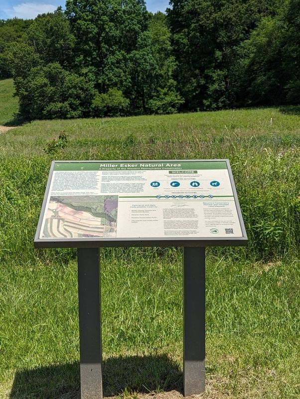
Photographed by Kelly Phillips, June 1, 2024
2. Miller Esker Natural Area Marker
WPC has helped to establish 11 state parks, creates green spaces and gardens in 20 Western Pennsylvania counties, contributing to the vitality of the region’s cities and towns, and preserves Frank Lloyd Wright’s Fallingwater®, which is now on the UNESCO World Heritage List. Falling water is a demonstration of Wright’s organic architecture, which exemplifies how people can live in harmony with nature.
The Conservancy owns other properties in the region that area open to the public, including Wolf Creek Narrows Natural Area and Plain Grove Fens Natural Area. Visit WaterLandLife.org for more information. Become a Conservancy Member and Volunteer Land Steward!
Support from thousands of volunteers and members helps the Conservancy maintain this and other exceptional places across Western Pennsylvania. We are always looking for help with property monitoring and projects such
Photographed by Kelly Phillips, June 1, 2024
3. Miller Esker Natural Area Marker
For more information on how you can help by becoming a member or volunteer, contact us at 1-866-564-6972 or via email at [email protected].
Erected by Western Pennsylvania Conservancy.
Topics and series. This historical marker is listed in these topic lists: Environment • Parks & Recreational Areas. In addition, it is included in the Frank Lloyd Wright series list. A significant historical year for this entry is 1975.
Location. 41° 0.404′ N, 80° 5.161′ W. Marker is in West Liberty, Pennsylvania, in Butler County. It is in Worth Township. It is on West Liberty Road, on the left when traveling east. Touch for map. Marker is in this post office area: Slippery Rock PA 16057, United States of America. Touch for directions.

Regionally, this marker is in Northwestern Pennsylvania and in Greater Pittsburgh. It is also in the American Northeast, in the Mid-Atlantic, in Appalachia, and specifically in Northern Appalachia. Globally, it is in North America, the Western Hemisphere, the Western World, and the Anglosphere. Historically, it finds itself in what was once the Haudenosaunee (Iroquois) Confederacy and also one of the original Thirteen Colonies.
Other nearby markers. At least 8 other markers are within 5 miles of this marker, measured as the crow flies: Alumni Veterans Memorial (approx. 4.1 miles away); Paul and Carolyn Carruth Rizza Hall (approx. 4.1 miles away); Hickory Corner Schoolhouse (approx. 4.2 miles away); Slippery Rock Honor Roll (approx. 4.2 miles away); War Memorial (approx. 4.2 miles away); Vietnam War Memorial (approx. 4.2 miles away); Korean War Memorial (approx. 4.2 miles away); Old Stone House (approx. 4.4 miles away).
Credits. This page was last revised on June 8, 2024. It was originally submitted on June 1, 2024, by Kelly Smith of Leechburg, Pennsylvania. This page has been viewed 575 times since then and 73 times this year. Photos: 1, 2, 3. submitted on June 1, 2024, by Kelly Smith of Leechburg, Pennsylvania. • Bill Pfingsten was the editor who published this page.
