Near Winchester in Frederick County, Virginia — The American South (Mid-Atlantic)
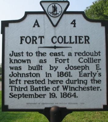
Fort Collier
Erected 1988 by Department of Conservation and Historic Resources. (Marker Number A-4.)
Topics and series. This historical marker is listed in this topic list: War, US Civil. In addition, it is included in the Virginia Department of Historic Resources (DHR) series list. A significant historical date for this entry is September 19, 1880.
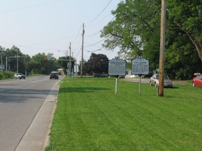
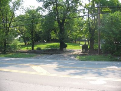
Location. 39° 12.1′ N, 78° 9.31′ W. Marker is near Winchester, Virginia, in Frederick County. Marker is at the intersection of Martinsburg Turnpike (U.S. 11) and Brooke Road (Route 1322), on the right when traveling south on Martinsburg Turnpike. Across the street from Fort Collier Civil War Center. Touch for map. Marker is in this post office area: Winchester VA 22601, United States of America. Touch for directions.
Other nearby markers. At least 8 other markers are within walking distance of this marker. George Washington in Winchester (here, next to this marker); a different marker also named Fort Collier (within shouting distance of this marker); 2nd Battle of Winchester / 3rd Battle of Winchester (about 300 feet away, measured in a direct line); 2nd Battle of Winchester (about 300 feet away); 3rd Battle of Winchester (about 300 feet away); Lt. Collier’s Earthworks (about 300 feet away); a different marker also named Fort Collier (about 500 feet away); The Cavalry Charge at Fort Collier (about 600 feet away). Touch for a list and map of all markers in Winchester.
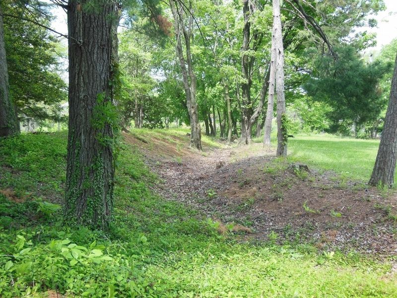
Regarding Fort Collier. A series of interpretive markers are located at the Fort Collier Civil War Center, which describe the fort in detail.
Also see . . . Fort Collier Civil War Center. Website homepage (Submitted on September 13, 2007, by Craig Swain of Leesburg, Virginia.)
Credits. This page was last revised on January 7, 2023. It was originally submitted on September 13, 2007, by Craig Swain of Leesburg, Virginia. This page has been viewed 1,595 times since then and 17 times this year. Photos: 1, 2, 3. submitted on September 13, 2007, by Craig Swain of Leesburg, Virginia. 4. submitted on March 16, 2021, by Bradley Owen of Morgantown, West Virginia. • J. J. Prats was the editor who published this page.


