Gloucester in Gloucester County, Virginia — The American South (Mid-Atlantic)
Gloucester Courthouse
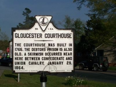
Photographed by Beverly Pfingsten, April 18, 2008
1. Gloucester Courthouse Marker
Erected 1928 by Conservation Development Commission. (Marker Number NA-1.)
Topics and series. This historical marker is listed in these topic lists: Colonial Era • Government & Politics • War, US Civil. In addition, it is included in the Virginia Department of Historic Resources (DHR) series list. A significant historical date for this entry is January 29, 1779.
Location. 37° 24.987′ N, 76° 32.242′ W. Marker is in Gloucester, Virginia, in Gloucester County. It is at the intersection of Main Street (Business U.S. 17) and Belroi Road, on the right when traveling east on Main Street. Touch for map. Marker is at or near this postal address: 6277 Main St, Gloucester VA 23061, United States of America. Touch for directions.

Regionally, this marker is on the Middle Peninsula and in the Hampton Roads Metropolitan Area. It is also in the American South, specifically in the Upper South, in the Tidewater, in the Chesapeake Bay Region, and on the Eastern Seaboard. Globally,
this page online
Other nearby markers. At least 8 other markers are within walking distance of this marker: Indian Princess Pocahontas (a few steps from this marker); Cappahosic (a few steps from this marker); Boutetort Masonic Lodge (approx. 0.4 miles away); a different marker also named Gloucester Courthouse (approx. 0.4 miles away); In Memoriam John Clayton (approx. 0.4 miles away); The Birdsall Building (approx. 0.4 miles away); To the Confederate Dead of Gloucester (approx. 0.4 miles away); A Sacred Place (approx. 0.4 miles away). Touch for a list and map of all markers in Gloucester.
Related marker. Click here for another marker that is related to this marker. A newer marker has been posted as well.
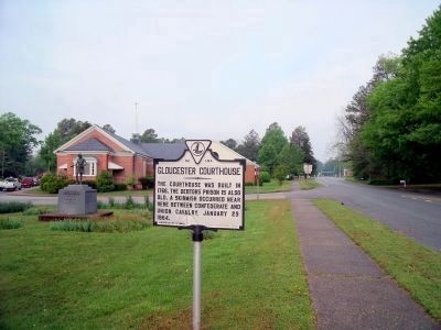
Photographed by Bernard Fisher, April 25, 2010
2. Main St & Belroi Rd
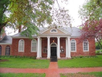
Photographed by Bernard Fisher, April 25, 2010
3. Gloucester Courthouse
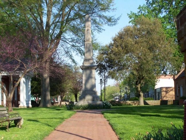
Photographed by Beverly Pfingsten, April 18, 2008
4. Gloucester Courthouse Complex
There are several historic buildings and monuments in this preserved area.
Credits. This page was last revised on August 28, 2026. It was originally submitted on May 1, 2008, by Bill Pfingsten of Bel Air, Maryland. This page has been viewed 1,634 times since then and 52 times this year. Last updated on June 14, 2024, by Jessica Hulstine of Mathews, Virginia. Photos: 1. submitted on May 1, 2008, by Bill Pfingsten of Bel Air, Maryland. 2, 3. submitted on April 25, 2010, by Bernard Fisher of Richmond, Virginia. 4. submitted on May 1, 2008, by Bill Pfingsten of Bel Air, Maryland. • Devry Becker Jones was the editor who published this page.
