Inner Harbor in Baltimore, Maryland — The American Northeast (Mid-Atlantic)
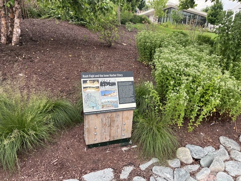
Rash Field and the Inner Harbor Story

Photographed by Devry Becker Jones (CC0), June 14, 2024
1. Rash Field and the Inner Harbor Story Marker
Rash Field is part of a remarkable story that began in 1958 with a 30 year plan to stop the decline of downtown by transforming a derelict shoreline into the Inner Harbor that you see before you.
In 1960, Charles Center-Inner Harbor Redevelopment, Inc. was created as one of the nation's first nonprofit development corporations to make the vision a reality, starting with the waterfront bulkhead, promenades, piers, public wharves, and park spaces. By 1995, $2.5B was invested — 75% privately-financed — in more than 100 projects, including: office towers, like the World Trade Center; landmark restorations at Otterbein and the Power Plant; retail and hotels, like Harborplace and the Hyatt Regency, and public destinations, like the USF Constellation, the MD Science Center, and the National Aquarium. More than 40 additional amenities provided something for everyone: water taxis, boat rentals, restaurants, markets, amphitheaters, sculptures, fountains and sports venues.
The design of Baltimore's waterfront as a center point and symbol of the city has inspired developments around the world, including Sidney, Barcelona, Osaka,
this page online
Thank you Lisa Schroeder, daughter of Meredith and Martin Millspaugh Jr., for providing this narrative and selection of images.
Topics. This historical marker is listed in these topic lists: Charity & Public Work • Industry & Commerce • Parks & Recreational Areas • Waterways & Vessels. A significant historical year for this entry is 1958.
Location. 39° 16.907′ N, 76° 36.587′ W. Marker is in Baltimore, Maryland. It is in the Inner Harbor. It is on Baltimore Waterfront Promenade east of Light Street (Maryland Route 2), on the right when traveling east. Touch for map. Marker is at or near this postal address: 300 Key Hwy, Baltimore MD 21230, United States of America. Touch for directions.

Regionally, this marker is in Central Maryland. It is also in the American Mid-Atlantic, in the Chesapeake Bay Region, and on the Eastern Seaboard. Globally, it is in the North Atlantic Region, North America, the Western Hemisphere, the Western World, and the Anglosphere.
Photographed by Devry Becker Jones (CC0), June 14, 2024
2. Rash Field and the Inner Harbor Story Marker
Other nearby markers. At least 8 other markers are within walking distance of this marker: Millspaugh Porch Swing (a few steps from this marker); Jake's Skatepark (about 300 feet away, measured in a direct line); Private Armed Schooner of Baltimore (about 300 feet away); Pride of Baltimore (about 400 feet away); United States Merchant Seamen Memorial (about 500 feet away); Federal Hill (about 500 feet away); Generating Electricity from the Sun (about 500 feet away); A History of Firsts in Baltimore (about 600 feet away). Touch for a list and map of all markers in Baltimore.
Other markers no longer nearby. Baltimore’s Part in Saving the Bay (was about 400 feet away but has been permanently removed); Port of Baltimore (was about 400 feet away but has been permanently removed); The Olmsted Legacy (was about 400 feet away but has been permanently removed).
Credits. This page was last revised on June 15, 2024. It was originally submitted on June 15, 2024, by Devry Becker Jones of Washington, District of Columbia. This page has been viewed 316 times since then and 51 times this year. Photos: 1, 2. submitted on June 15, 2024, by Devry Becker Jones of Washington, District of Columbia.
