Waterford in County Waterford, Munster, Ireland — Irish South-West ((Éire) North Atlantic Ocean)
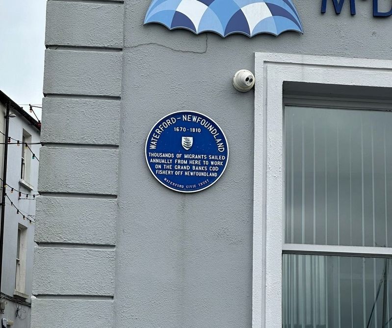
Waterford - Newfoundland
1670-1810
Photographed by GavinSCrambler, June 3, 2024
1. Waterford - Newfoundland Marker
Thousands of migrants sailed annually from here to work on the Grand Banks cod fishery off Newfoundland
Erected by Waterford Civic Trust.
Topics. This historical marker is listed in these topic lists: Immigration • Industry & Commerce • Waterways & Vessels.
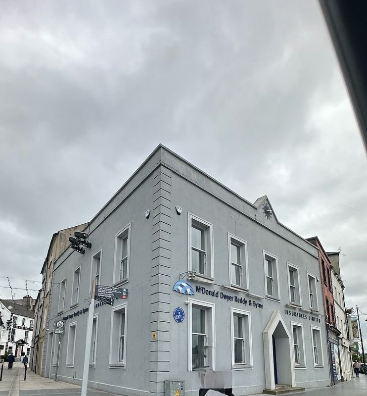
Location. 52° 15.642′ N, 7° 6.333′ W. Marker is in Waterford, Munster, in County Waterford. It is on Parade Quay. Touch for map. Marker is at or near this postal address: 132 Parade Quay, Waterford, Munster, Ireland. Touch for directions.

Regionally, this marker is in the Ancient East. Globally, it is on the Atlantic Ocean, in the North Atlantic Region, in Europe, on the Island of Ireland, on the Celtic Fringe, in the European Union, in Atlantic Europe, on one of the British Isles, in the Western World, and in the Anglosphere.
Other nearby markers. At least 8 other markers are within walking distance of this marker: Viking Ship (a few steps from this marker); Medieval City Walls (within shouting distance of this marker); Reginald's Tower (within shouting distance of this marker); a different
this page online
Photographed by GavinSCrambler, June 3, 2024
2. Waterford - Newfoundland Marker
Photographed by Ian Lefkowitz, May 16, 2026
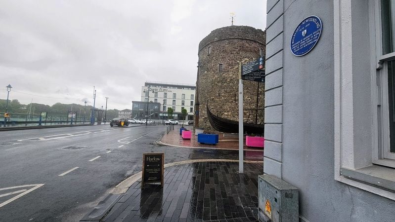
3. Waterford - Newfoundland Marker
The marker is located on the building that neighbors Reginald's Tower.
Credits. This page was last revised on July 10, 2026. It was originally submitted on June 16, 2024, by Cajun Scrambler of Assumption, Louisiana. This page has been viewed 87 times since then and 15 times this year. Photos: 1, 2. submitted on June 16, 2024, by Cajun Scrambler of Assumption, Louisiana. 3. submitted on June 21, 2026, by Ian Lefkowitz of New York, New York.
