
Near Atlin in Stikine Region, British Columbia — Canada’s West Coast (North America)
Bennett

Photographed by Sandra Hughes Tidwell
1. Bennettt Marker

Please remember that the landscape here is fragile and easily damaged. Please stay on packed trails to reduce damage to artifacts and vegetation. Building remains like the one shown here are important archaeological sites and are important reminders of Bennett during its heyday at the turn of the century. Look for these sites but please leave them undisturbed: help protect this historic place for future generations.
Topics. This historical marker is listed in these topic lists: Anthropology & Archaeology • Indigenous Peoples and Communities • Settlements & Settlers.
Location. 59° 37.5′ N,
this page online

Regionally, this marker is in Northern BC. Globally, it is in North America, on the Ring of Fire, in the Pacific Rim, in the Western Hemisphere, in the Western World, and in the Anglosphere. Historically, it finds itself in what was once a British colony.
Other nearby markers. At least 8 other markers are within 23 kilometers of this marker, measured as the crow flies: St. Andrew's Church (a few steps from this marker); Me`n Cho`Bennett Lake (within shouting distance of this marker); Fraser (approx. 11.3 kilometers away); a different marker also named Fraser (approx. 11.6 kilometers away); Pitch Fork Falls (approx. 17.8 kilometers away in the U.S.); Asaayíx' Kudziteey Haa Léelk'u Hás Aaní (approx. 20.7 kilometers away in the U.S.); Skagway Remembers (approx. 21.2 kilometers away in the U.S.); Before the Gold Rush (approx. 21.2 kilometers away in
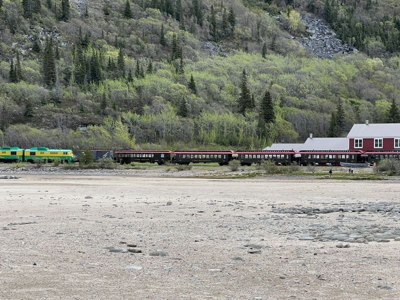
Photographed by Sandra Hughes Tidwell
2. Bennettt Marker
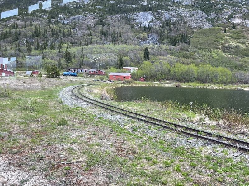
Photographed by Sandra Hughes Tidwell
3. Bennett Marker
Credits. This page was last revised on June 27, 2024. It was originally submitted on June 18, 2024, by Sandra Hughes Tidwell of Killen, Alabama, USA. This page has been viewed 137 times since then and 17 times this year. Photos: 1, 2, 3. submitted on June 18, 2024, by Sandra Hughes Tidwell of Killen, Alabama, USA. • Devry Becker Jones was the editor who published this page.
