Bakersfield in Kern County, California — The American West (Pacific Coastal)
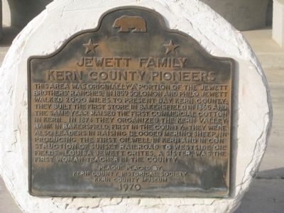
Jewett Family
Kern County Pioneers
Erected 1970 by Kern County Historical Society, Kern County Museum. (Marker Number 14.)
Topics. This historical marker is listed in these topic lists: Agriculture • Education • Industry & Commerce • Settlements & Settlers • Women. A significant historical year for this entry is 1859.
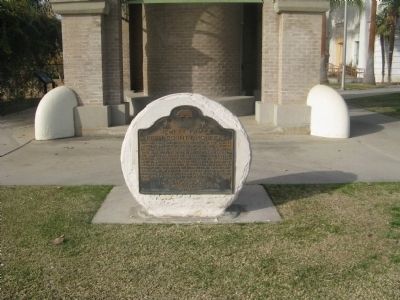
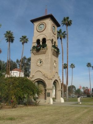
Location. 35° 23.66′ N, 119° 1.13′ W. Marker is in Bakersfield, California, in Kern County. Marker is on Chester Avenue, on the right when traveling south. Marker is located at the Kern County Museum at the base of the Beale Memorial Clock Tower. Touch for map. Marker is at or near this postal address: 3801 Chester Avenue, Bakersfield CA 93301, United States of America. Touch for directions.
Other nearby markers. At least 8 other markers are within walking distance of this marker . Bungalow (about 400 feet away, measured in a direct line); Kern County Chamber of Commerce (about 400 feet away); Beale Memorial Clock Tower (about 500 feet away); Standard School (about 500 feet away); Howell House (about 600 feet away); Adobe House (about 600 feet away); Kern County Fair Exhibit Building (about 600 feet away); Lόpez-Hill House (about 600 feet away). Touch for a list and map of all markers in Bakersfield.

Photographed By Kern Valley Museum
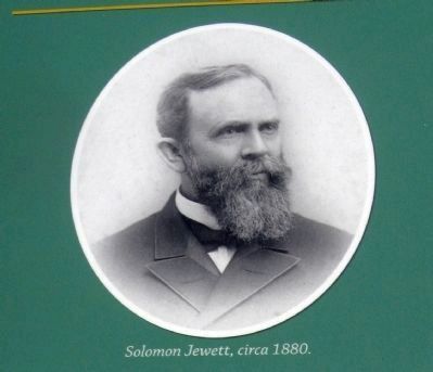
4. Solomon Jewett
Solomon Jewett was a cofounder of the Kern Valley Bank.
This photo is on display on the Kern Valley Bank marker.
Click for more information.
This photo is on display on the Kern Valley Bank marker.
Click for more information.
Credits. This page was last revised on November 5, 2019. It was originally submitted on November 29, 2009, by Syd Whittle of Mesa, Arizona. This page has been viewed 1,983 times since then and 64 times this year. Photos: 1, 2, 3. submitted on November 29, 2009, by Syd Whittle of Mesa, Arizona. 4. submitted on December 28, 2009, by Syd Whittle of Mesa, Arizona.


