Cumberland Township in Round Top in Adams County, Pennsylvania — The American Northeast (Mid-Atlantic)
Chamberlain Avenue
| — | Gettysburg National Military Park | — |
Photographed by Mike McKeown, July 1, 2024
1. Chamberlain Avenue Marker
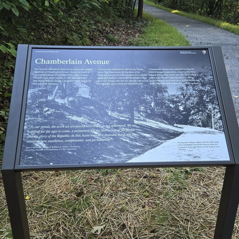
The road was completed in 1897 by the United States War Department. By the dawn of the twentieth century, Civil War veterans were rapidly aging and unable to explore the battlefield as they once did. Avenues like this one allowed easy access to important spots within the battlefield park.
Chamberlain Avenue was constructed using the Telford system. Large stones composed the base, topped with smaller stones and clay. This created a stable, smooth, and relatively dust-free riding surface. So well-built were these Telford Roads that their foundation still remains beneath the surface.
"To our minds, the work we are placed here to do is not ephemeral. We are building for the ages to come, a monument for the instruction of the people and the glory of the Republic. In this, haste may be a desirable thing, but the essentials are, excellence, completeness and permanence."
this page online
Gettysburg National Park Commission, U.S. War Department
(caption) Photographer William Tipton took this 1902 image of the completed Chamberlain Avenue. Note the monument to the 20th Maine on the slope to your left front.
Erected 2024 by National Park Service, U.S. Department of the Interior.
Topics. This historical marker is listed in these topic lists: Roads & Vehicles • War, US Civil. A significant historical year for this entry is 1897.
Location. 39° 47.356′ N, 77° 14.18′ W. Marker is in Round Top, Pennsylvania, in Adams County. It is in Cumberland Township. It can be reached from the intersection of Wright Avenue and Sykes Avenue, on the left when traveling east. Touch for map. Marker is in this post office area: Gettysburg PA 17325, United States of America. Touch for directions.

Regionally, this marker is in South-Central Pennsylvania. It is also in the American Northeast, in the Mid-Atlantic, in Appalachia, and specifically in Northern Appalachia. Globally, it is in North America, the Western Hemisphere, the Western World, and the Anglosphere. Historically,
Photographed by Bill Coughlin, October 19, 2024
2. Chamberlain Avenue Marker
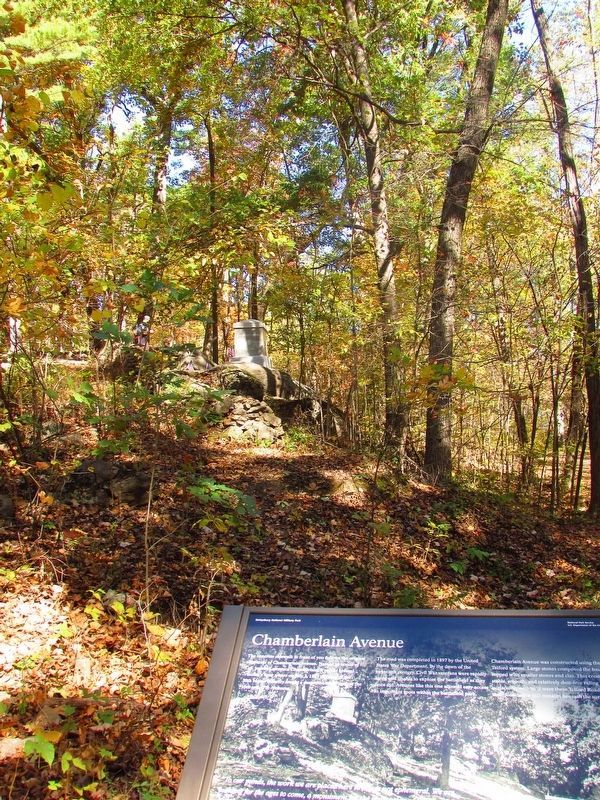
The 20th Maine Monument can be seen in the woods behind the marker.
Other nearby markers. At least 8 other markers are within walking distance of this marker: Twentieth Maine (within shouting distance of this marker); The Tenacious 20th Maine (within shouting distance of this marker); Bayonets! (within shouting distance of this marker); …built for defense (within shouting distance of this marker); 9th Pennsylvania Reserves (about 300 feet away, measured in a direct line); Law's Brigade (about 300 feet away); 83rd Pennsylvania Infantry (about 400 feet away); 10th Pennsylvania Reserves (about 400 feet away). Touch for a list and map of all markers in Round Top.
Also see . . . Gettysburg National Military Park. National Park Service (Submitted on July 1, 2024.)
Photographed by Mike McKeown, July 1, 2024
3. Chamberlain Avenue Marker
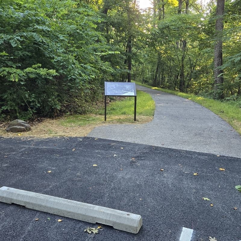
Further view of marker
Credits. This page was last revised on October 21, 2024. It was originally submitted on July 1, 2024, by Mike McKeown of Baltimore, Maryland. This page has been viewed 429 times since then and 39 times this year. Photos: 1. submitted on July 1, 2024, by Mike McKeown of Baltimore, Maryland. 2. submitted on October 21, 2024, by Bill Coughlin of Woodland Park, New Jersey. 3. submitted on July 1, 2024, by Mike McKeown of Baltimore, Maryland. • Bernard Fisher was the editor who published this page.
