Near Park City in Sedgwick County, Kansas — The American Midwest (Upper Plains)
Indian Treaties of 1865
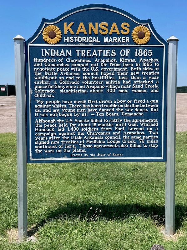
Photographed by Mark Hilton, July 1, 2024
1. Indian Treaties of 1865 Marker
"My people have never first drawn a bow or fired a gun against whites. There has been trouble on the line between us, and my young men have danced the war dance. But it was not, begun by us." — Ten Bears, Comanche
Although the U.S. Senate failed to ratify the agreements, the peace held for about 18 months until Gen. Winfield Hancock led 1,400 soldiers from Fort Larned on a campaign against the Cheyennes and Arapahos. Two years after the Little Arkansas council, the same parties signed new treaties at Medicine Lodge Creek, 76 miles southwest of here. Those agreements also failed to stop the wars on the plains.
Erected 2012 by the State of Kansas. (Marker Number 64B.)
Topics.
this page online
Location. 37° 47.961′ N, 97° 20.164′ W. Marker is near Park City, Kansas, in Sedgwick County. It is on North Broadway Avenue 0.2 miles north of West 61st Street North, on the left. Touch for map. Marker is at or near this postal address: 6335 N Broadway Ave, Park City KS 67129, United States of America. Touch for directions.

Regionally, this marker is in Greater Wichita. It is also in the American Midwest, in the Corn Belt, on the prairies, and on the Southern Plains. Globally, it is in North America, the Western Hemisphere, the Western World, and the Anglosphere. Historically, it finds itself in what was once the Louisiana Purchase.
Other nearby markers. At least 8 other markers are within 6 miles of this marker, measured as the crow flies: Bicentennial of the Birth of George Washington (approx. 6 miles away); Morrison Library (approx. 6 miles away); Gene Stephenson's Wichita State University All Americans (approx. 6 miles away); Wichita State University Shockers 1989 NCAA National Champion
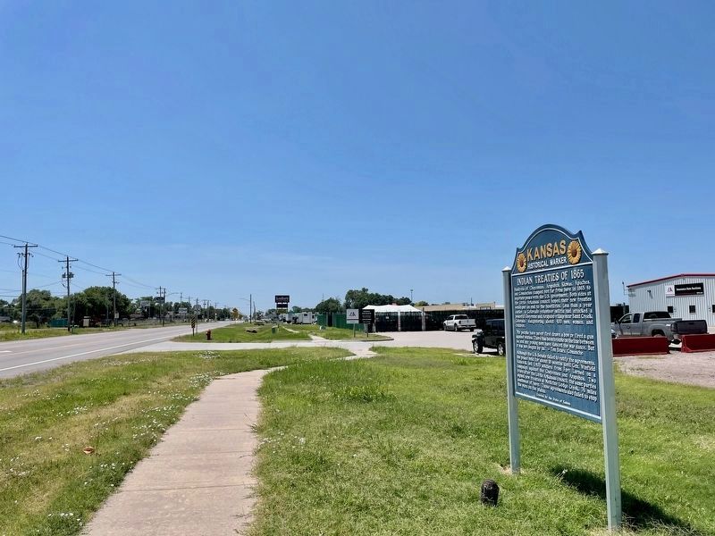
Photographed by Mark Hilton, July 1, 2024
2. View of Indian Treaties of 1865 Marker looking South on Broadway Ave.
Surrounding area has been developed since previous marker of 2011.
Other markers no longer nearby. Indian Treaties of 1865 (has been replaced with this marker); The Chisholm Trail (was approx. 2.7 miles away but has been confirmed missing).
More about this marker. This marker replaces marker #61099 with the same title but different text. It is located in the same location.
Related marker. Click here for another marker that is related to this marker. Previous marker with different text.

Photographed by Jeff Leichsenring, July 1, 2026
3. Indian Treaties of 1865 Marker
Credits. This page was last revised on July 15, 2026. It was originally submitted on July 1, 2024, by Mark Hilton of Montgomery, Alabama. This page has been viewed 507 times since then and 57 times this year. Photos: 1, 2. submitted on July 1, 2024, by Mark Hilton of Montgomery, Alabama. 3. submitted on July 3, 2026, by Jeff Leichsenring of Garland, Texas.
