Cumberland Township in Round Top in Adams County, Pennsylvania — The American Northeast (Mid-Atlantic)
The Little Rocky Hill
| — | Gettysburg National Military Park | — |
Photographed by Mike McKeown, July 1, 2024
1. The Little Rocky Hill Marker
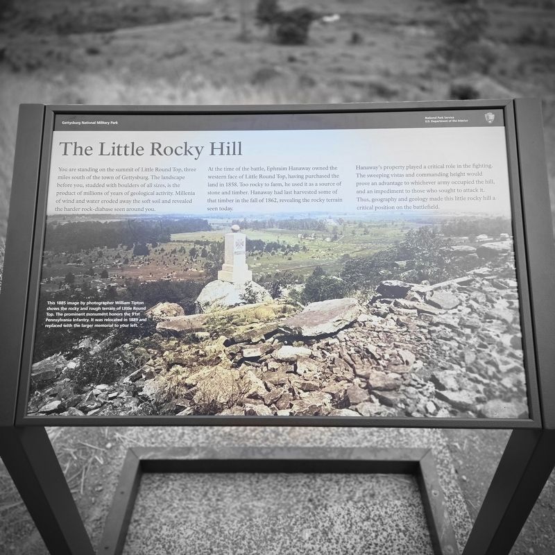
You are standing on the summit of Little Round Top, three miles south of the town of Gettysburg. The landscape before you, studded with boulders of all sizes, is the product of millions of years of geological activity. Millenia of wind and water eroded away the soft soil and revealed the harder rock-diabase seen around you.
At the time of the battle, Ephraim Hanaway owned the western face of Little Round Top, having purchased the land in 1858. Too rocky to farm, he used it as a source of stone and timber. Hanaway had last harvested some of that timber in the fall of 1862, revealing the rocky terrain seen today.
Hanaway's property played a critical role in the fighting. The sweeping vistas and commanding height would prove an advantage to whichever army occupied the hill, and an impediment to those who sought to attack it. Thus, geography and geology made this little rocky hill a critical position on the battlefield.
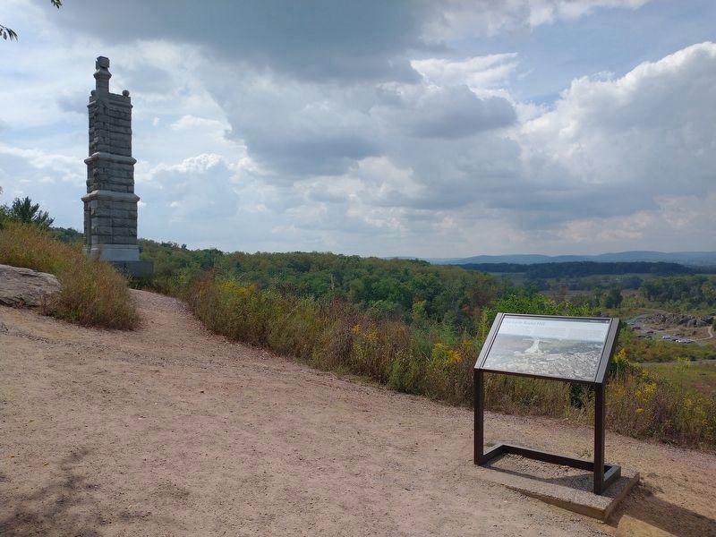
(caption) This 1885 image by photographer William Tipton shows the rocky and rough terrain of Little Round Top. The prominent monument honors the 91st Pennsylvania Infantry. It was relocated in 1889 and replaced with the larger memorial to your left.
Erected 2024
this page online
Topics. This historical marker is listed in these topic lists: Environment • War, US Civil. A significant historical year for this entry is 1858.
Location. 39° 47.522′ N, 77° 14.203′ W. Marker is in Round Top, Pennsylvania, in Adams County. It is in Cumberland Township. It can be reached from Sykes Avenue north of Warren Avenue, on the left when traveling north. Located on Little Round Top (Auto Tour Stop 8). Touch for map. Marker is in this post office area: Gettysburg PA 17325, United States of America. Touch for directions.

Regionally, this marker is in South-Central Pennsylvania. It is also in the American Northeast, in the Mid-Atlantic, in Appalachia, and specifically in Northern Appalachia. Globally, it is in North America, the Western Hemisphere, the Western World, and the Anglosphere. Historically, it finds itself in what was once the Haudenosaunee (Iroquois) Confederacy and also one of the original Thirteen Colonies.
Other nearby markers. At least 8 other markers are within walking distance of this marker: The Deadly Sharpshooters (here, next to this marker);
Photographed by Mike McKeown, July 1, 2024
2. The Little Rocky Hill Marker
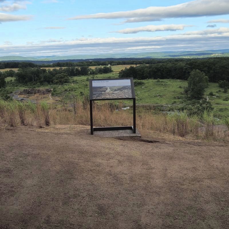
Further view of marker
Another marker is no longer nearby. The Union Fishhook (was a few steps from this marker but has been permanently removed).
Also see . . . Gettysburg National Military Park. National Park Service (Submitted on July 2, 2024.)
Photographed by Tom Bosse, September 15, 2025
3. The Little Rocky Hill Marker
Credits. This page was last revised on May 8, 2026. It was originally submitted on July 1, 2024, by Mike McKeown of Baltimore, Maryland. This page has been viewed 728 times since then and 60 times this year. Last updated on July 2, 2024, by Mike McKeown of Baltimore, Maryland. Photos: 1. submitted on July 1, 2024, by Mike McKeown of Baltimore, Maryland. 2. submitted on July 2, 2024, by Mike McKeown of Baltimore, Maryland. 3. submitted on January 26, 2026, by Tom Bosse of Jefferson City, Tennessee. • Devry Becker Jones was the editor who published this page.
