Wayne Township near Westfall in Pickaway County, Ohio — The American Midwest (Great Lakes)
Canal Park
Historic Ohio-Erie Canal Remnants
| — | Pickaway County Park District | — |
Photographed by Craig Doda, June 22, 2024
1. Canal Park Marker
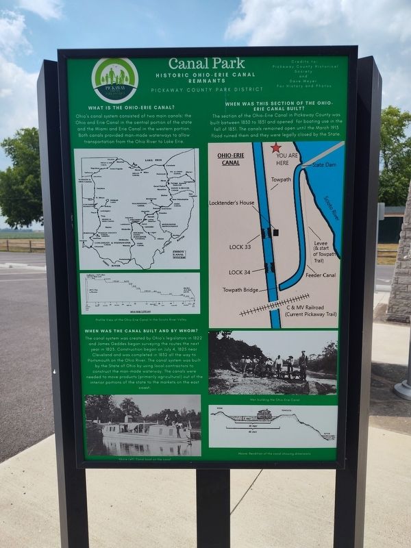
Ohio's canal system consisted of two main canals: the Ohio and Erie Canal in the central portion of the state and the Miami and Erie Canal in the western portion. Both canals provided man-made waterways to allow transportation from the Ohio River to Lake Erie.
When Was The Canal Built And By Whom?
The canal system was created by Ohio's legislators in 1822 and James Geddes began surveying the routes the next year in 1823. Construction began on July 4, 1825 near Cleveland and was completed in 1832 all the way to Portsmouth on the Ohio River. The canal system was built by the State of Ohio by using local contractors to construct the man-made waterway. The canals were needed to move products (primarily agricultural) out of the interior portions of the state to the markets on the east coast.
When Was This Section Of The Ohio- Erie Canal Built?
The section of the Ohio-Erie Canal in Pickaway County was built between 1830 to 1831 and opened for boating use in the fall of 1831. The canals remained open until the March 1913 flood ruined them and they were legally closed by the State.
Erected by Pickaway
this page online
Topics and series. This historical marker is listed in these topic lists: Disasters • Parks & Recreational Areas • Waterways & Vessels. In addition, it is included in the Ohio and Erie Canal series list. A significant historical month for this entry is March 1913.
Location. 39° 35.417′ N, 82° 58.381′ W. Marker is near Westfall, Ohio, in Pickaway County. It is in Wayne Township. It is on Canal Road (County Route 100), on the right when traveling north. Touch for map. Marker is at or near this postal address: 23352 Canal Rd, Circleville OH 43113, United States of America. Touch for directions.

Regionally, this marker is in the Scioto Valley and in the Columbus Metropolitan Area. It is also in the American Midwest and in the Corn Belt. Globally, it is in North America, the Western Hemisphere, the Western World, and the Anglosphere. Historically, it finds itself in what was once the Haudenosaunee (Iroquois) Confederacy, the territory of the Mississippian Culture, and the Northwest Territory.
Other nearby markers. At least 8 other markers are within 2 miles of this marker, measured as the crow flies:
Photographed by Craig Doda, June 22, 2024
2. Canal Park Marker
Photographed by Craig Doda, June 22, 2024
3. Canal Park Marker
Photographed by Craig Doda, June 22, 2024
4. Canal Park Marker
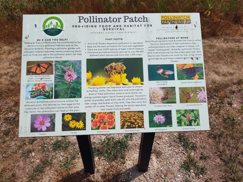
Photographed by Craig Doda, June 22, 2024
5. Canal Park Marker
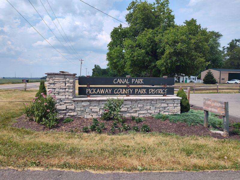
Photographed by Craig Doda, June 22, 2024
6. Canal Park Marker
Credits. This page was last revised on July 9, 2024. It was originally submitted on July 3, 2024, by Craig Doda of Napoleon, Ohio. This page has been viewed 240 times since then and 29 times this year. Photos: 1, 2, 3, 4, 5, 6. submitted on July 3, 2024, by Craig Doda of Napoleon, Ohio. • J. Makali Bruton was the editor who published this page.
