Wayne Township in Westfall in Pickaway County, Ohio — The American Midwest (Great Lakes)
Ohio-Erie Canal
Canal Park
| — | Pickaway County Park District | — |

Photographed by Craig Doda, June 22, 2024
1. Ohio-Erie Canal Marker
The Ohio-Erie Canal was constructed with two summit levels: one near Akron in Summit County and the other, the Licking Summit, in Licking and Fairfield Counties. Reservoirs of water were created on both summit levels to provide water for the canal. The canal from Summit County was constructed north towards Lake Erie through Cieveland and to the south towards Muskingum County near Dresden. The Licking Summit went north to Newark in Licking County and then east to Muskingum County and eventually the lowest spot near Dresden where it joined the Summit County descent. The canal had no pumps but rather, the water was moved by gravity with lift locks at elevation changes. These locks lifted or lowered the boats up and down the canal levels acting like an elevator for the boats. Each lock chamber was 90 feet long and 15 feet wide, allowing one boat at a time to enter the lock with usually less that a foot on each side and a short distance fore and aft (meaning front and back in nautical terms). When a boat arrived at a lock, the driver unhitched the tow animals, and then the boat was pulled by
this page online
Fats Facts
The Ohio & Erie Canal was 309 miles long and contained 151 locks and 27 aqueducts.
The longest aqueduct built on the canal was 448 feet. It crossed the Scioto River just south of Circleville, downstream from the State Route 22 southbound bridge. This aqueduct was destroyed in a fire in 1915.
Canal boats traveled at an average speed of 2 mph and provided a faster, easier and cheaper way to transport goods and move people in comparison to hauling in wagons.
The minimum dimensions for canals were 40 feet wide at the waterline, 28 feet wide at the bottom and 4 feet deep, but some places they were as wide as 150 feet and 12 feet deep.
It took 9 years to build the Ohio-Erie Canal and about a year to build the section in Pickaway County including the aqueduct over the Scioto River South of the City of Circleville.
Whiskey was a hot commodity transported on the canal which is where the railroad tract just south of the park on the Pickaway Trail got its name "Whiskey Switch".
Grain,
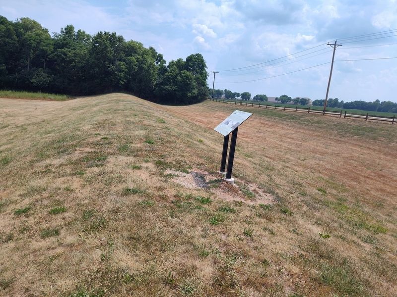
Photographed by Craig Doda, June 22, 2024
2. Ohio-Erie Canal Marker
It took about 3 1/2 days to travel from Cleveland to Portsmouth on a fast packed canal boat (the canal boat was equivalent to today's high speed rail. It did not make many stops and was the fastest way to travel).
Captions:
Map of Circleville Showing the Route of The Canal
The Aqueduct crossing the Scioto River south of Circleville
Rendition of the canal locks like those that originally sat at Canal Park
Map of Circelville Showing the Route of The Canal Through Town
Whiskey Switch- the Location South of the park where the Pickaway Trail Crosses the Canal where goods moved from the Canal to the Railroad and back.
Erected by Pickaway County Park District.
Topics and series. This historical marker is listed in these topic lists: Parks & Recreational Areas • Waterways & Vessels. In addition, it is included in the Ohio and Erie Canal series list. A significant historical year for this entry is 1915.
Location. 39° 35.376′ N, 82° 58.397′ W. Marker is in Westfall, Ohio, in Pickaway County. It is in Wayne Township.
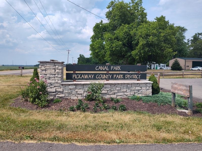
Photographed by Craig Doda, June 22, 2024
3. Ohio-Erie Canal Marker

Regionally, this marker is in the Scioto Valley and in the Columbus Metropolitan Area. It is also in the American Midwest and in the Corn Belt. Globally, it is in North America, the Western Hemisphere, the Western World, and the Anglosphere. Historically, it finds itself in what was once the Haudenosaunee (Iroquois) Confederacy, the territory of the Mississippian Culture, and the Northwest Territory.
Other nearby markers. At least 8 other markers are within 2 miles of this marker, measured as the crow flies: The Towpath Trail (within shouting distance of this marker); Canal Park (within shouting distance of this marker); State Feeder Dam (about 300 feet away, measured in a direct line); William J. Barthelmas, Jr. (about 300 feet away); Political Meeting at Second Baptist Church (approx. 1½ miles away); Circleville (approx. 1½ miles away); Red Brick Manor (approx. 1.6 miles away); The Underground Railroad / The Underground Railroad in Pickaway County (approx. 1.6 miles away). Touch for a list and map of all markers in Westfall.
Credits. This page was last revised on July 9, 2024. It was originally submitted on July 3, 2024, by Craig Doda of Napoleon, Ohio. This page has been viewed 174 times since then and 34 times this year. Photos: 1, 2, 3. submitted on July 3, 2024, by Craig Doda of Napoleon, Ohio. • J. Makali Bruton was the editor who published this page.
