Clarkdale in Yavapai County, Arizona — The American Mountains (Southwest)
Rocks, Rituals, and Resources

Photographed by James Hulse, June 20, 2024
1. Rocks, Rituals, and Resources Marker
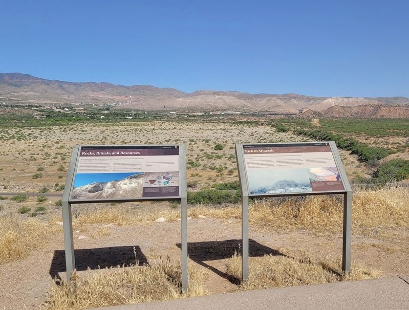
For the people of Tuzigoot, rocks were the source of material for paints, adornments, and stone carvings that held personal and ritual significance. Living here, they had access to some of the most rare and sought-after resources, including blue azurite, green malachite, and red argillite. They also had salt from a local mine, still vitally and culturally important to all the region's indigenous groups today. People living here traded these valuable minerals with other groups to obtain goods.
The Yavapai term for money is wi, meaning rock, and signifies the importance of rocks and minerals in trade. Yavapai consultants say their ancestors mined the ores in the mountains here for centuries and traded them to other tribes.
Captions
In the southern Verde Valley, white cliffs reveal a salt mine that provided one of the most valuable prehistoric resources in the Southwest. Likely used for trade, salt may have been ceremonially important, as well.
Important minerals from around the valley included salt, azurite, malachite, as well as argillite, a soft red mudstone used for beads and carvings. While copper minerals were used, the metal was never extracted by prehistoric peoples in the Verde Valley.
Erected by Tuzigoot
this page online
Topics. This historical marker is listed in these topic lists: Anthropology & Archaeology • Indigenous Peoples and Communities.
Location. 34° 46.14′ N, 112° 1.624′ W. Marker is in Clarkdale, Arizona, in Yavapai County. It is on Tuzigoot Road east of Sycamore Canyon Road. The marker is located in the Tuzigoot National Monument along the hiking loop trail. Touch for map. Marker is at or near this postal address: 25 Tuzigoot Rd, Clarkdale AZ 86324, United States of America. Touch for directions.

Regionally, this marker is in Verde Valley and in the Yavapai-Apache Nation. It is also in the American Southwest and in the Mountain West. Globally, it is in North America, the Western Hemisphere, the Western World, and the Anglosphere. Historically, it finds itself in what was once New Spain and also Mexico’s Alta California.
Other nearby markers. At least 8 other markers are within walking distance of this marker: Rich in Minerals (here, next to this marker); The Pueblo's Plaza (within shouting distance of this marker); Clues in Architecture (within shouting
Photographed by James Hulse, June 20, 2024
2. The Rocks, Rituals, and Resources Marker is the left marker of the two markers
More about this marker. The marker is located in the Tuzigoot National Monument along the hiking loop trail. There is a small entrance fee to visit the archeological ruins.
Also see . . . Tuzigoot Human History. Tuzigoot National Monument
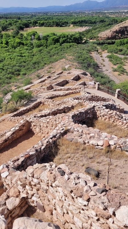
The first people - The human history of the Verde Valley begins around ten thousand years ago, when the southwest was cooler and wetter than it is today. Paleolithic hunter-gatherers traveled through a greener, woodier Verde Valley, filled with pinyon pine, shrub live oak, and juniper. Today we know of their presence from a handful of Clovis points - distinctive stone points that were probably used with spears - that have been found in and near the valley. Clovis points are found all across(Submitted on July 4, 2024, by James Hulse of Medina, Texas.)North America and parts of South America, indicating that these ancient people traveled widely across the continents, probably following game animals, the growth of edible plants, and other resources.Photographed by James Hulse, June 20, 20243. A view of the reconstructed ruins
Photographed by James Hulse, June 20, 2024
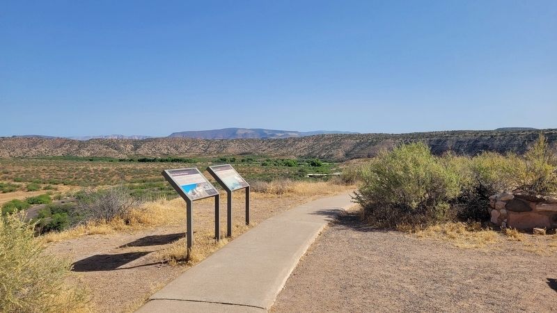
4. The view of the markers along the trail
Credits. This page was last revised on July 5, 2024. It was originally submitted on July 3, 2024, by James Hulse of Medina, Texas. This page has been viewed 186 times since then and 24 times this year. Photos: 1, 2, 3, 4. submitted on July 5, 2024, by James Hulse of Medina, Texas.
