Grand Canyon National Park in Coconino County, Arizona — The American Mountains (Southwest)
Hance Rapid
Photographed by James Hulse, June 21, 2024
1. Hance Rapid Marker
photo captions:
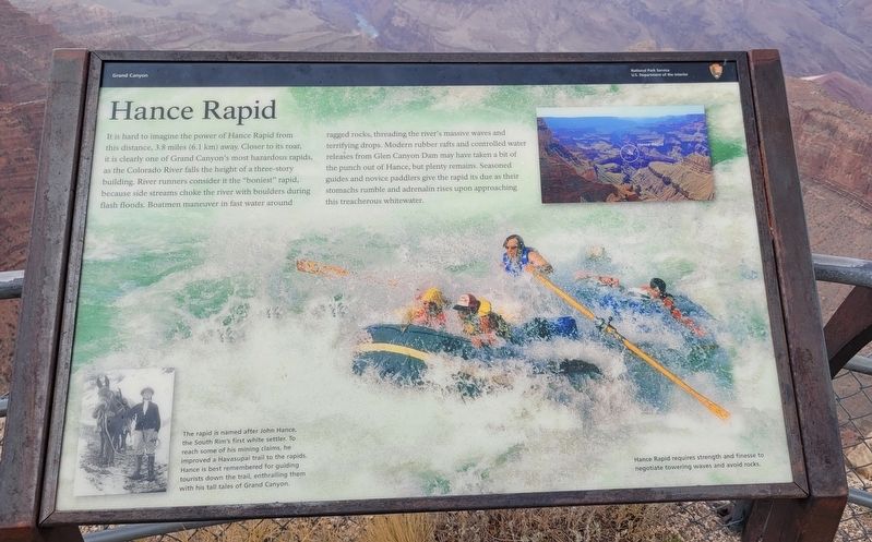
The rapid is named after John Hance, the South Rim's first white settler. To reach some of his mining claims, he improved a Havasupai trail to the rapids. Hance is best remembered for guiding tourists down the trail, enthralling them with his tall tales of Grand Canyon.
Hance Rapid requires strength and finesse to negotiate towering waves and avoid rocks.
Erected by Grand
this page online
Topics. This historical marker is listed in these topic lists: Parks & Recreational Areas • Waterways & Vessels.
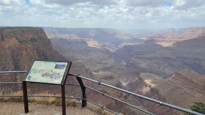
Location. 36° 1.983′ N, 111° 51.202′ W. Marker is in Grand Canyon National Park, Arizona, in Coconino County. It is on Lipan Point Road north of Desert View Drive. The marker is located northwest of the Lipan Point Parking Lot along the viewing trail. Touch for map. Marker is in this post office area: Grand Canyon AZ 86023, United States of America. Touch for directions.

Regionally, this marker is in Flagstaff & High Country and in Hopi. It is also in the American Southwest, in the Mountain West, on the Colorado Plateau, and at the Four Corners. Globally, it is in North America, the Western Hemisphere, the Western World, and the Anglosphere. Historically, it finds itself in what was once New Spain and also Mexico’s Alta California.
Other nearby markers. At least 8 other markers are within 2 miles of this marker, measured as the crow flies: Delta Farmers (here, next to this marker); Grand Canyon's Gateway
Photographed by James Hulse, June 21, 2024
2. Hance Rapid Marker
Also see . . .
1. Hance Rapid and Canyon. Arizona State University
Hance Rapid, named after famous Grand Canyon tour guide and storyteller John Hance, is located where Red Canyon intersects with the Grand Canyon at Colorado River Mile 77. Hance Rapid is a powerful whitewater rapid formed by debris from flash floods that tore through Red Canyon. This side canyon is composed of red Hakatai Shale, with dark shafts of volcanic rock called diabase cutting through it.(Submitted on July 8, 2024, by James Hulse of Medina, Texas.)
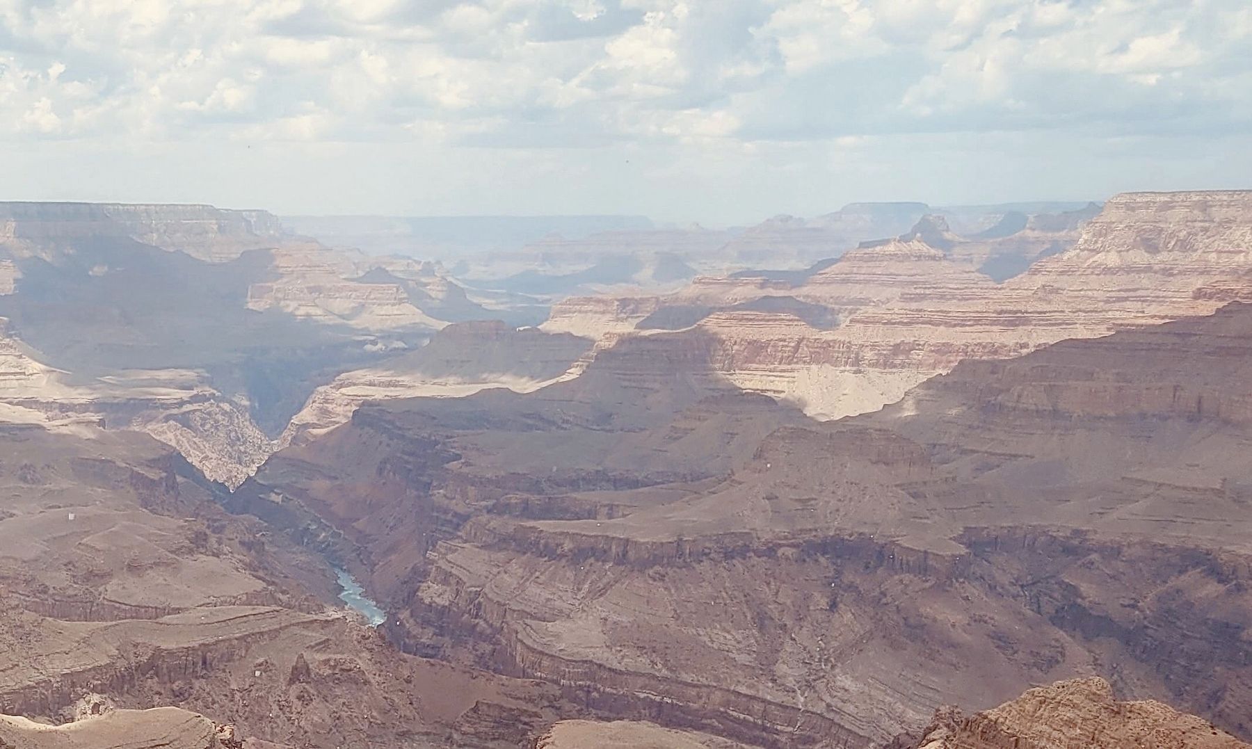
Whereas normally the Colorado River would eventually wear down the large boulders deposited at the mouth of the canyon, the volcanic rock is much harder than the soft shale. Therefore the diabase boulders eroded very slowly, and as the river plunged over themit hit the shale with greater force and eroded it even faster than normal. This differential erosion rate helped make Hance Rapid the biggest river drop along the Colorado River in the Grand Canyon; during normal water levels it falls 30 feet. It can be seen from Lipan Point on the South Rim, which is accessible from Desert View Drive, to the east of Grand Canyon Village.Photographed by James Hulse, June 21, 20243. Hance Rapid
2. John Hance. Arizona State University
“God made the Canyon, John Hance the trails. Without the other, neither would be complete.”(Submitted on July 8, 2024, by James Hulse of Medina, Texas.)
So claimed Bucky O’Neill, a famous early Grand Canyon resident and booster. Today Hance is remembered as an almost larger than life figure whose mining and tourism businesses shaped the course of Grand Canyon history and the use of its environment. Over the span of his 35-year stay at the canyon, Hance built a reputation as an explorer, prospector, entrepreneur, and storyteller for which he is still remembered today.
Credits. This page was last revised on September 11, 2026. It was originally submitted on July 7, 2024, by James Hulse of Medina, Texas. This page has been viewed 343 times since then and 77 times this year. Photos: 1, 2, 3. submitted on July 8, 2024, by James Hulse of Medina, Texas.
