Port Aransas in Nueces County, Texas — The American South (West South Central)
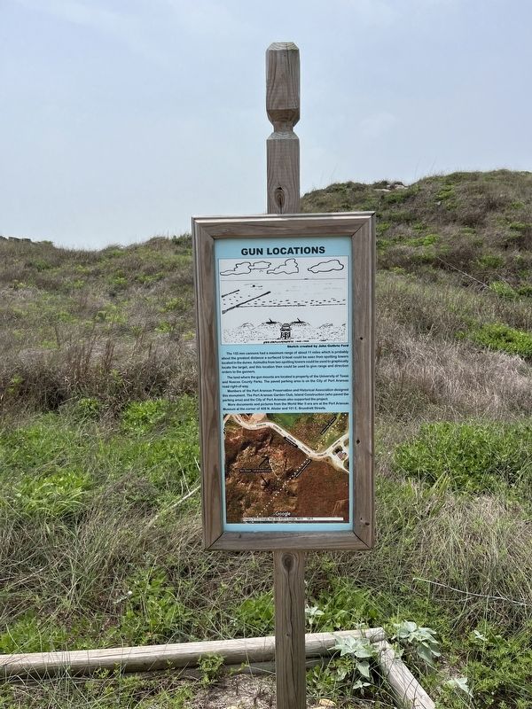
Gun Locations
Photographed by Adam Margolis, April 7, 2024
1. Gun Locations Marker
The land where the gun mounts are located is property of the University of Texas and Nueces County Parks. The paved parking are is on the City of Port Aransas road right-of-way.
Members of the Port Aransas Preservation and Historical Associated designed this monumnet. The Port Aransas Garden Club, Island Construction (who paved the parking area) and the City of Port Aransas also supported the project.
More documents and pictures from the World War II era are at the Port Aransas Museum at the corner of 408 N. Alister and 101 E. Brundrett Streets.
Caption
Gun Enplacements 1942-1944
Sketch created by John Guthrie Ford
Topics. This historical marker is listed in these topic lists: Parks & Recreational Areas • War, World II • Waterways & Vessels.
Location. 27° 50.101′ N,
this page online

Regionally, this marker is in the American South and on the Gulf Coast. Globally, it is in North America, a Gulf of Mexico state, the Western Hemisphere, the Western World, and the Anglosphere. Historically, it finds itself in what was once New Spain, the Republic of Texas, and one of the Confederate States of America.
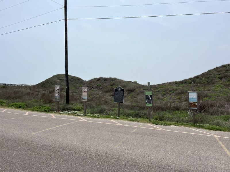
Other nearby markers. At least 8 other markers are within walking distance of this marker: World War II Coastal Defenses at the Aransas Pass (here, next to this marker); Oil Storage Facility (here, next to this marker); 155 MM Cannon* (a few steps from this marker); Sub Seen off Port Aransas (a few steps from this marker); Tarpon Inn (approx. half a mile away); Mustang Island (approx. half a mile away); The Mercer Family on Mustang Island (approx. half a mile away); U.S. Coast Guard on Mustang Island
Photographed by Adam Margolis, April 7, 2024
2. Gun Locations Marker
Credits. This page was last revised on July 10, 2024. It was originally submitted on July 9, 2024, by Adam Margolis of Mission Viejo, California. This page has been viewed 278 times since then and 34 times this year. Photos: 1, 2. submitted on July 9, 2024, by Adam Margolis of Mission Viejo, California. • James Hulse was the editor who published this page.
