Port Aransas in Nueces County, Texas — The American South (West South Central)
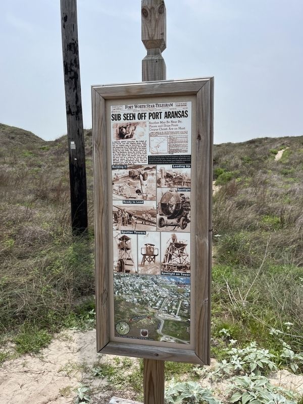
Sub Seen off Port Aransas
Photographed by Adam Margolis, April 7, 2024
1. Sub Seen off Port Aransas Marker
Captions
No photos have been found of the guns in Port Aransas, because photography was not allowed. All photos used herein were of the same model guns from athe same time period but located at other military installations.
Building it - Loading up - Ready to load - Spotlight - Spotter Tower - Spotlight on tower
Topics. This historical marker is listed in these topic lists: Parks & Recreational Areas • War, World II • Waterways & Vessels.
Location. 27° 50.097′ N, 97° 3.193′ W.
this page online

Regionally, this marker is in the American South and on the Gulf Coast. Globally, it is in North America, a Gulf of Mexico state, the Western Hemisphere, the Western World, and the Anglosphere. Historically, it finds itself in what was once New Spain, the Republic of Texas, and one of the Confederate States of America.
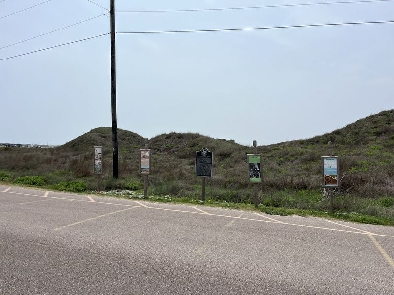
Other nearby markers. At least 8 other markers are within walking distance of this marker: 155 MM Cannon* (here, next to this marker); Oil Storage Facility (here, next to this marker); World War II Coastal Defenses at the Aransas Pass (a few steps from this marker); Gun Locations (a few steps from this marker); Tarpon Inn (approx. half a mile away); Mustang Island (approx. half a mile away); The Mercer Family on Mustang Island (approx. half a mile away); U.S. Coast Guard on Mustang Island (approx. 0.7 miles away). Touch for a list and map
Photographed by Adam Margolis, April 7, 2024
2. Sub Seen off Port Aransas Marker
Credits. This page was last revised on July 10, 2024. It was originally submitted on July 9, 2024, by Adam Margolis of Mission Viejo, California. This page has been viewed 358 times since then and 63 times this year. Photos: 1, 2. submitted on July 9, 2024, by Adam Margolis of Mission Viejo, California. • James Hulse was the editor who published this page.
