Alamo Plaza in San Antonio in Bexar County, Texas — The American South (West South Central)
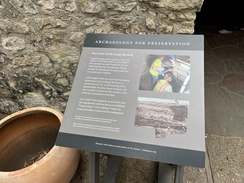
Past Lives of the Long Barrack
Archeology for Preservation
Photographed by Adam Margolis, April 6, 2024
1. Past Lives of the Long Barrack Marker
Archaeologists' work also uncovered fascinating details about this building's life since its construction in 1724. As the team dug down, approximately 20 distinct layers emerged; each one was either a compacted floor surface or the sediments accumulated in between.
As a result of this excavation, we now know that the Long Barrack could have had up to 10 different "living surfaces" over its lifetime. Today, the lowest, and oldest, is about two feet underground.
Top right: Archaeologists examine and document each layer revealed during excavations inside the Long Barrack.
Right: Technical photography experts stitched together multiple high-resolution images to create a single picture of all the layers.
Erected by The Alamo Organization.
Topics. This historical marker is listed in these topic lists: Anthropology & Archaeology • Forts and Castles
this page online
Location. 29° 25.566′ N, 98° 29.179′ W. Marker is in San Antonio, Texas, in Bexar County. It is in Alamo Plaza. It is on Alamo Plaza. Touch for map. Marker is at or near this postal address: 300 Alamo Plaza, San Antonio TX 78205, United States of America. Touch for directions.

Regionally, this marker is in South Texas. It is also in the American South. Globally, it is in North America, a Gulf of Mexico state, the Western Hemisphere, the Western World, and the Anglosphere. Historically, it finds itself in what was once New Spain, the Republic of Texas, and one of the Confederate States of America.
Other nearby markers. At least 8 other markers are within walking distance of this marker: 16-Pound Alamo Cannon (here, next to this marker); A Colorful Long Barrack (here, next to this marker); Mission Mill (and Millstone) (here, next to this marker); In Honor of the Women and Children of the Alamo (here, next to this marker); The Alamo (a few steps from this marker); Spanish Mission and Military Post (a few steps from
Photographed by Adam Margolis, April 6, 2024
2. Past Lives of the Long Barrack Marker
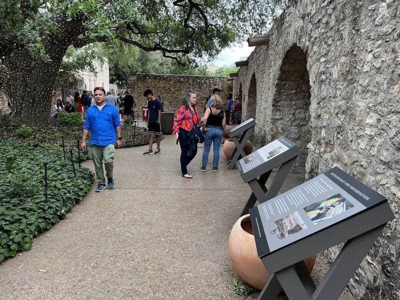
Marker is the rightmost marker
Credits. This page was last revised on July 10, 2024. It was originally submitted on July 10, 2024, by Adam Margolis of Mission Viejo, California. This page has been viewed 209 times since then and 26 times this year. Photos: 1, 2. submitted on July 10, 2024, by Adam Margolis of Mission Viejo, California. • James Hulse was the editor who published this page.
